Embed Size (px)
Citation preview
Cláudio Baptista, UFCG http://lsi.dsc.ufcg.edu.br
A Model for Geographic Knowledge Extraction
on Web DocumentsCláudio E. C. Campelo andCláudio de Souza Baptista
University of Campina GrandeComputer Science Department
Information Systems Laboratoryhttp://www.lsi.dsc.ufcg.edu.br
SECOGIS – ER 2009Gramado – RS- Brazil, 13th November 2009

Cláudio Baptista, UFCG http://lsi.dsc.ufcg.edu.br
2
Agenda
Introduction Main Challenges Detection of Geographic References The Geographic Scope GeoSEn Prototype
Architecture GUI
Experiments Conclusion and Future Work
Cláudio Baptista, UFCG http://lsi.dsc.ufcg.edu.br
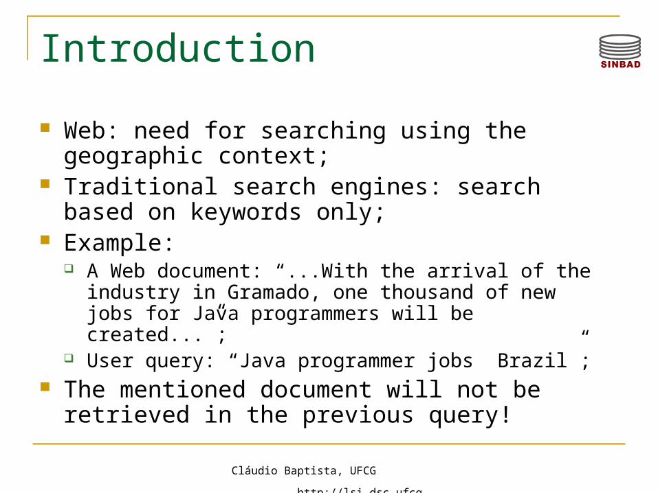
Introduction
Web: need for searching using the geographic context;
Traditional search engines: search based on keywords only;
Example: A Web document: “...With the arrival of the industry in
Gramado, one thousand of new jobs for Java programmers will be created...”;
User query: “Java programmer jobs Brazil”; The mentioned document will not be retrieved in
the previous query!
Cláudio Baptista, UFCG http://lsi.dsc.ufcg.edu.br
Introduction
What is the Geographic Context of Web documents? The place where the information was created? The places mentioned in the document content? Where are people who are most interested in a particular
information? etc…
Several documents have this context: Research in Portugal in which only occurrence of names
of Portuguese cities was considered (308 in total): Total of about 4 millions pages analyzed. Occurrence of 2.2 references per document; 4% of the queries submitted had a reference to one of those
cities.
Cláudio Baptista, UFCG http://lsi.dsc.ufcg.edu.br
Main Challenges
Detection of geographic references in the documents;
Modeling of geographic scope of documents;
Relevance ranking according to geographic context;
Need for efficient index techniques which cope with both textual and spatial dimensions
Development of user interfaces which provide usability to deal with both dimensions
Cláudio Baptista, UFCG http://lsi.dsc.ufcg.edu.br
Detection of Geographic References Aim: to identify document features which may be
mapped to a geographic place name; Challenge: elimination of ambiguities, ex:
Place with a name of a thing; (Ex. Gramado, Canela) Place with name of a Person (Ex. Garibaldi); Places with same names and same types: (Ex.
Cachoeirinha-Pe e Cachoeirinha-Rs); Places with same names and different types (ex. city
of Rio de Janeiro and state of Rio de Janeiro Places and gentilics with the same names (ex. city of
Paulista-Pe and paulista (who is born in São Paulo)
Cláudio Baptista, UFCG http://lsi.dsc.ufcg.edu.br
Detection of Geographic References Another example of ambiguity:
São Paulo as a State São Paulo as a City São Paulo as a football team São Paulo as the name of a hospital São Paulo as the Saint!

Cláudio Baptista, UFCG http://lsi.dsc.ufcg.edu.br
Detection of Geographic References Explored detected points: page content, page
title, URL; Types of detected places: all of the spatial
hierarchy: (from city to region); Types of detected references: place names,
postal code, telephone code area, gentilic.
Cláudio Baptista, UFCG http://lsi.dsc.ufcg.edu.br
Definitions
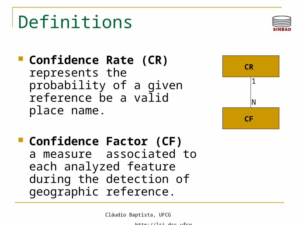
Confidence Rate (CR) represents the probability of a given reference be a valid place name.
Confidence Factor (CF) a measure associated to each analyzed feature during the detection of geographic reference.
CR
CF
1
N

Cláudio Baptista, UFCG http://lsi.dsc.ufcg.edu.br
Confidence Factor
CFST – analyzes the occurrence of special terms associated to geographic references; Examples of STs include: “in" (e.g. “in Gramado); "city"
(e.g. "city of São Paulo"); “ZIP” (e.g. “ZIP: 58109-000”); Storage of special terms:
Term; Type of geographic reference (zip code, telephone area
code, place name, etc,); Type of place (city, state, region); Minimum distance (DMIN);
Maximum distance (DMAX);
Maximum confidence grade (CMAX).
Cláudio Baptista, UFCG http://lsi.dsc.ufcg.edu.br
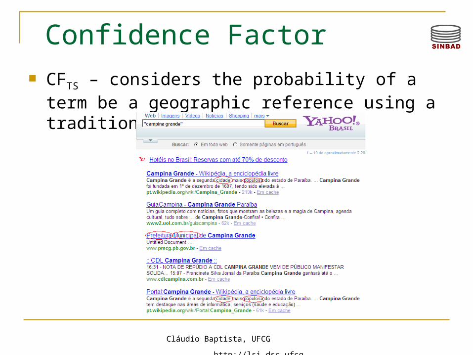
Confidence Factor CFTS – considers the probability of a term be a
geographic reference using a traditional search engine;

Cláudio Baptista, UFCG http://lsi.dsc.ufcg.edu.br
Confidence Factor
CFCROSS : analyzes the occurrence of cross references based on
topological relationships (inside, contains, etc);
CFFMT – evaluates the syntax used to describe the geographic references; Abbreviation of place names (R. de Janeiro, RJ); The use of uppercase in the place names; Telephone format ( 083)-999-3456; Postal code format 58.104-867

Cláudio Baptista, UFCG http://lsi.dsc.ufcg.edu.br
13
Modeling of the Geographic Scope A document may be associated to one or more
places; A geographic scope may have places that are
not mentioned directly in a document (geographic expansion)
Each place which is part of the scope has an associated relevance value;
Cláudio Baptista, UFCG http://lsi.dsc.ufcg.edu.br
14
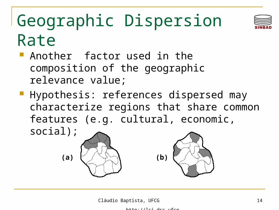
Geographic Dispersion Rate
(a) (b)
Another factor used in the composition of the geographic relevance value;
Hypothesis: references dispersed may characterize regions that share common features (e.g. cultural, economic, social);
Cláudio Baptista, UFCG http://lsi.dsc.ufcg.edu.br
15
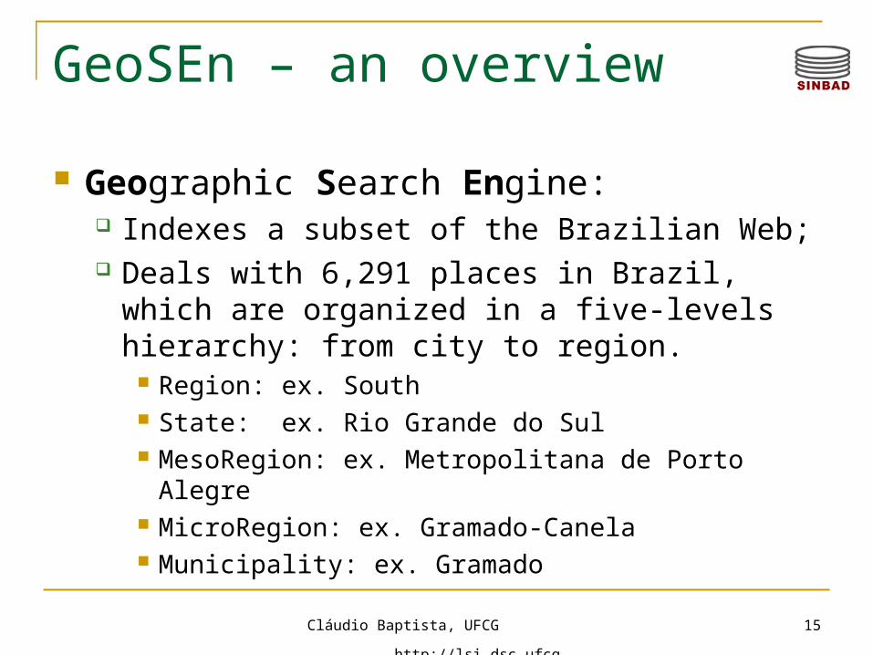
GeoSEn – an overview
Geographic Search Engine: Indexes a subset of the Brazilian Web; Deals with 6,291 places in Brazil, which are
organized in a five-levels hierarchy: from city to region.
Region: ex. South State: ex. Rio Grande do Sul MesoRegion: ex. Metropolitana de Porto Alegre MicroRegion: ex. Gramado-Canela Municipality: ex. Gramado
Cláudio Baptista, UFCG http://lsi.dsc.ufcg.edu.br
16
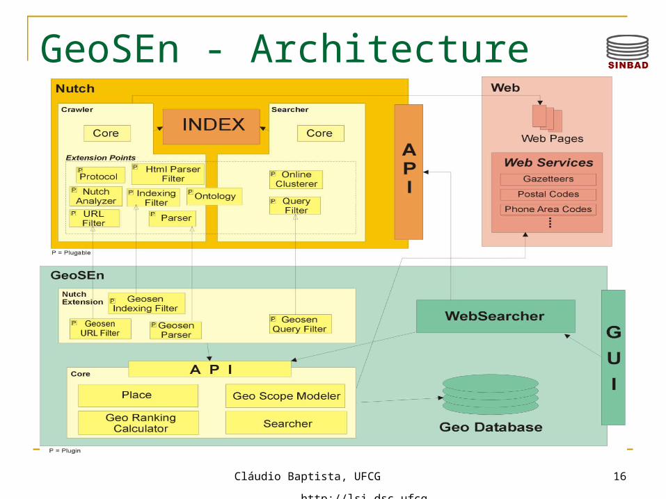
GeoSEn - Architecture
Cláudio Baptista, UFCG http://lsi.dsc.ufcg.edu.br
Cláudio Baptista, UFCG http://lsi.dsc.ufcg.edu.br
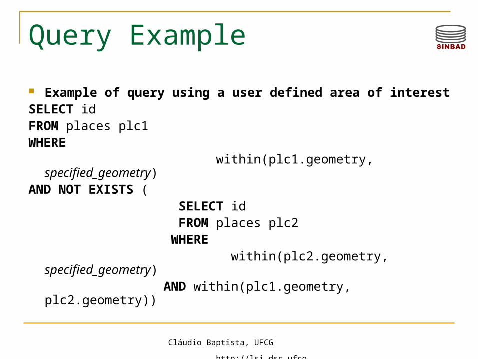
Query Example
Example of query using a user defined area of interestSELECT idFROM places plc1WHERE within(plc1.geometry, specified_geometry)AND NOT EXISTS ( SELECT id FROM places plc2 WHERE within(plc2.geometry, specified_geometry) AND within(plc1.geometry, plc2.geometry))
Cláudio Baptista, UFCG http://lsi.dsc.ufcg.edu.br
Experiments Experiments using 66,531 indexed
documents; 5 classes: .edu, .gov, blogs, tourism, arts; Detection of terms:
Documents from the Web manually analyzed; Documents with strong ambiguities created for the
test bed;
Cláudio Baptista, UFCG http://lsi.dsc.ufcg.edu.br
20
Conclusion
We have presented a heuristic based approach to implement a GIR system.
The techniques presented may be combined with others already known.
Precomputed relevance values may be used aiming to simplify the search process;
Cláudio Baptista, UFCG http://lsi.dsc.ufcg.edu.br
21
Future Work
Retrieval of georeferenced images and videos;
Recognition of other kinds of places; Integration of other data sources; Evaluation using large data set collections.

Cláudio Baptista, UFCG http://lsi.dsc.ufcg.edu.br
22
Thank you very much!
Questions?


![APOSTILA - INFORMÁTICA [UFCG].pdf](https://img.pdfslide.tips/doc/110x75/577c7ffb1a28abe054a6d1ab/apostila-informatica-ufcgpdf.jpg)