Embed Size (px)
Citation preview
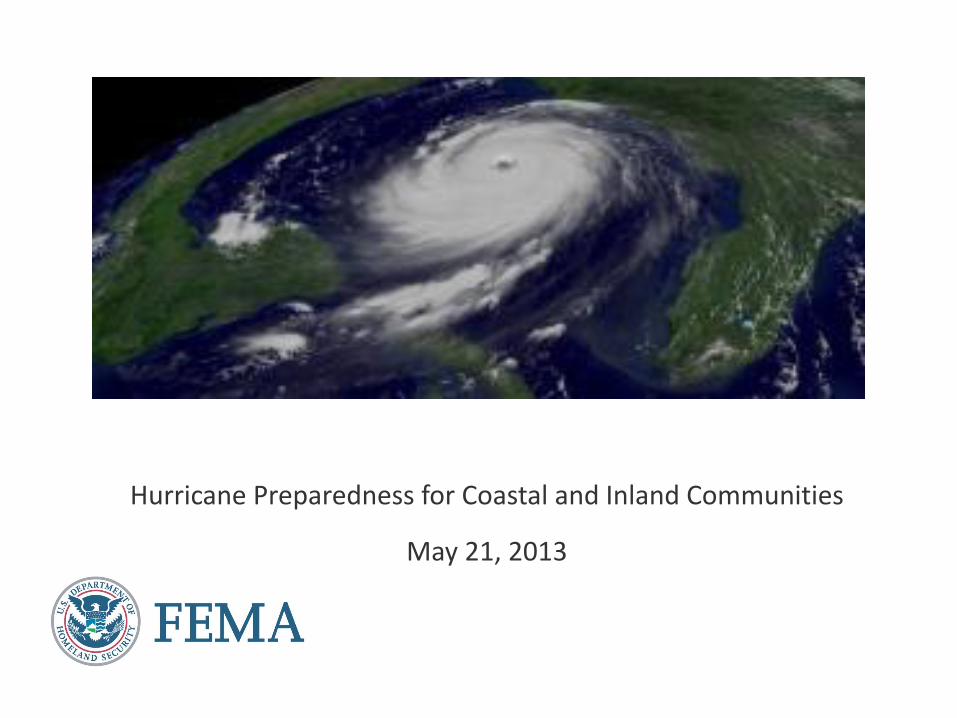
Hurricane Preparedness for Coastal and Inland Communities
May 21, 2013

Today’s Webinar Agenda
Keynote Presentation
• Michael F. Byrne, Federal Coordinating Officer, Federal Emergency Management
Agency (FEMA)
Overview of 2013 Hurricane Season
• Todd Kimberlain, Hurricane Specialist, National Hurricane Center, National Oceanic
and Atmospheric Administration (NOAA)
Hurricane Preparedness for Coastal Communities
• Greg Strader, Executive Director, Be Ready Alliance Coordinating for Emergencies
(BRACE)
Hurricane Preparedness for Inland Communities
• Gail Toscano, Preparedness and Resiliency Manager, American Red Cross of
Northeast PA Region
Brief ICPD Update
• Dante Randazzo, FEMA Individual and Community Preparedness Division
Question and Answer Period
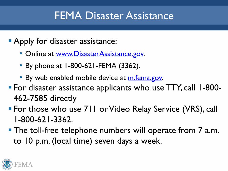
FEMA Disaster Assistance
Apply for disaster assistance:
• Online at www.DisasterAssistance.gov.
• By phone at 1-800-621-FEMA (3362).
• By web enabled mobile device at m.fema.gov.
For disaster assistance applicants who use TTY, call 1-800-
462-7585 directly
For those who use 711 or Video Relay Service (VRS), call
1-800-621-3362.
The toll-free telephone numbers will operate from 7 a.m.
to 10 p.m. (local time) seven days a week.
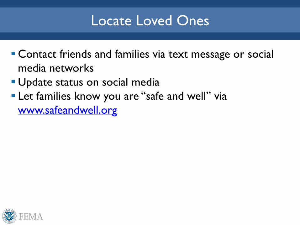
Locate Loved Ones
Contact friends and families via text message or social
media networks
Update status on social media
Let families know you are “safe and well” via
www.safeandwell.org
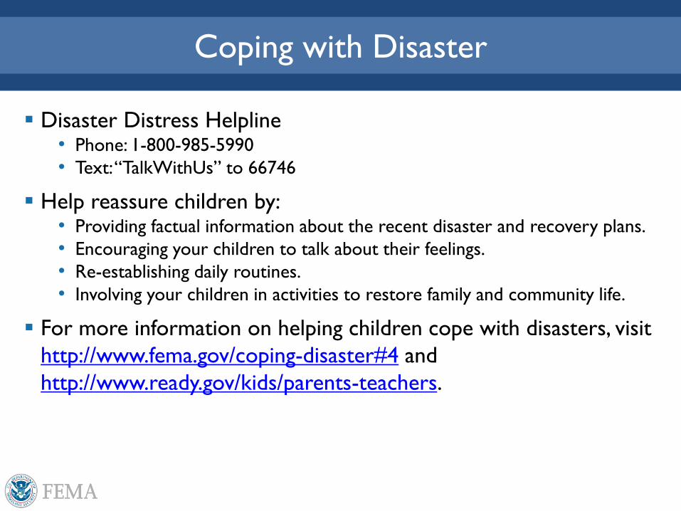
Coping with Disaster
Disaster Distress Helpline • Phone: 1-800-985-5990
• Text: “TalkWithUs” to 66746
Help reassure children by: • Providing factual information about the recent disaster and recovery plans.
• Encouraging your children to talk about their feelings.
• Re-establishing daily routines.
• Involving your children in activities to restore family and community life.
For more information on helping children cope with disasters, visit
http://www.fema.gov/coping-disaster#4 and
http://www.ready.gov/kids/parents-teachers.
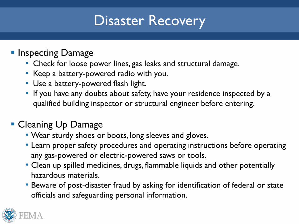
Disaster Recovery
Inspecting Damage • Check for loose power lines, gas leaks and structural damage.
• Keep a battery-powered radio with you.
• Use a battery-powered flash light.
• If you have any doubts about safety, have your residence inspected by a
qualified building inspector or structural engineer before entering.
Cleaning Up Damage • Wear sturdy shoes or boots, long sleeves and gloves.
• Learn proper safety procedures and operating instructions before operating
any gas-powered or electric-powered saws or tools.
• Clean up spilled medicines, drugs, flammable liquids and other potentially
hazardous materials.
• Beware of post-disaster fraud by asking for identification of federal or state
officials and safeguarding personal information.
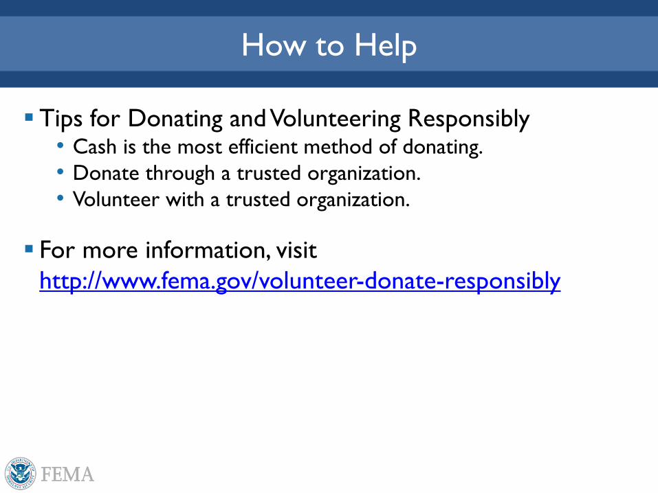
How to Help
Tips for Donating and Volunteering Responsibly • Cash is the most efficient method of donating.
• Donate through a trusted organization.
• Volunteer with a trusted organization.
For more information, visit
http://www.fema.gov/volunteer-donate-responsibly
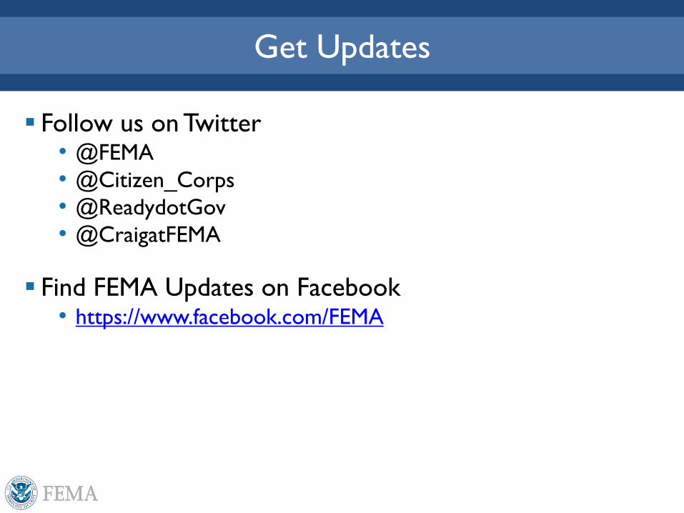
Get Updates
Follow us on Twitter • @FEMA
• @Citizen_Corps
• @ReadydotGov
• @CraigatFEMA
Find FEMA Updates on Facebook • https://www.facebook.com/FEMA
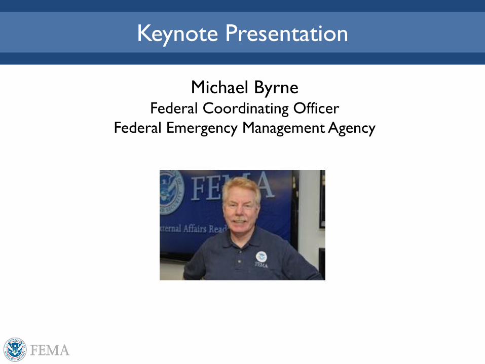
Keynote Presentation
Michael Byrne Federal Coordinating Officer
Federal Emergency Management Agency
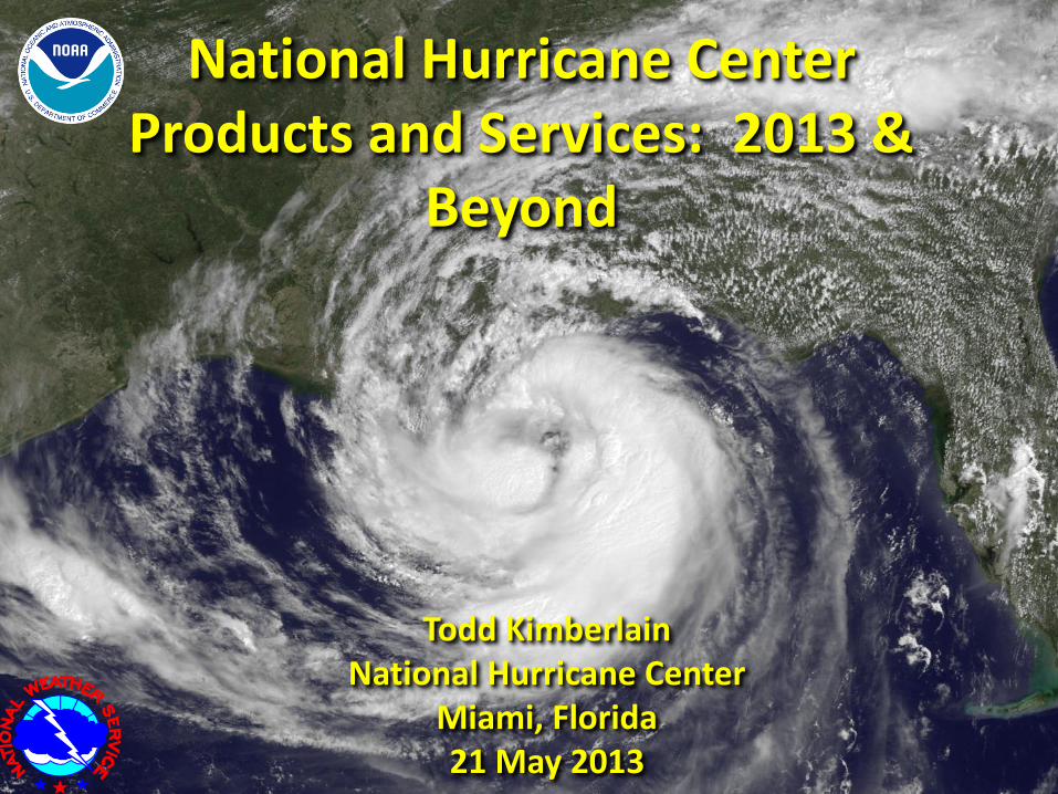
National Hurricane Center Products and Services: 2013 &
Beyond
Todd Kimberlain
National Hurricane Center Miami, Florida 21 May 2013
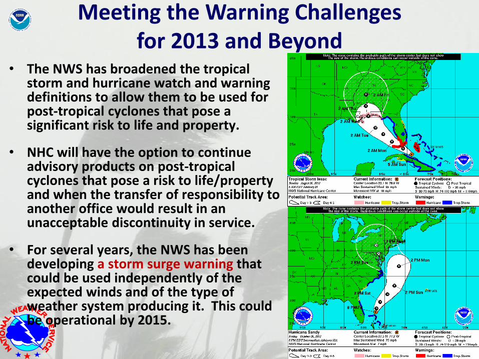
Meeting the Warning Challenges for 2013 and Beyond
• The NWS has broadened the tropical storm and hurricane watch and warning definitions to allow them to be used for post-tropical cyclones that pose a significant risk to life and property.
• NHC will have the option to continue advisory products on post-tropical cyclones that pose a risk to life/property and when the transfer of responsibility to another office would result in an unacceptable discontinuity in service.
• For several years, the NWS has been developing a storm surge warning that could be used independently of the expected winds and of the type of weather system producing it. This could be operational by 2015.
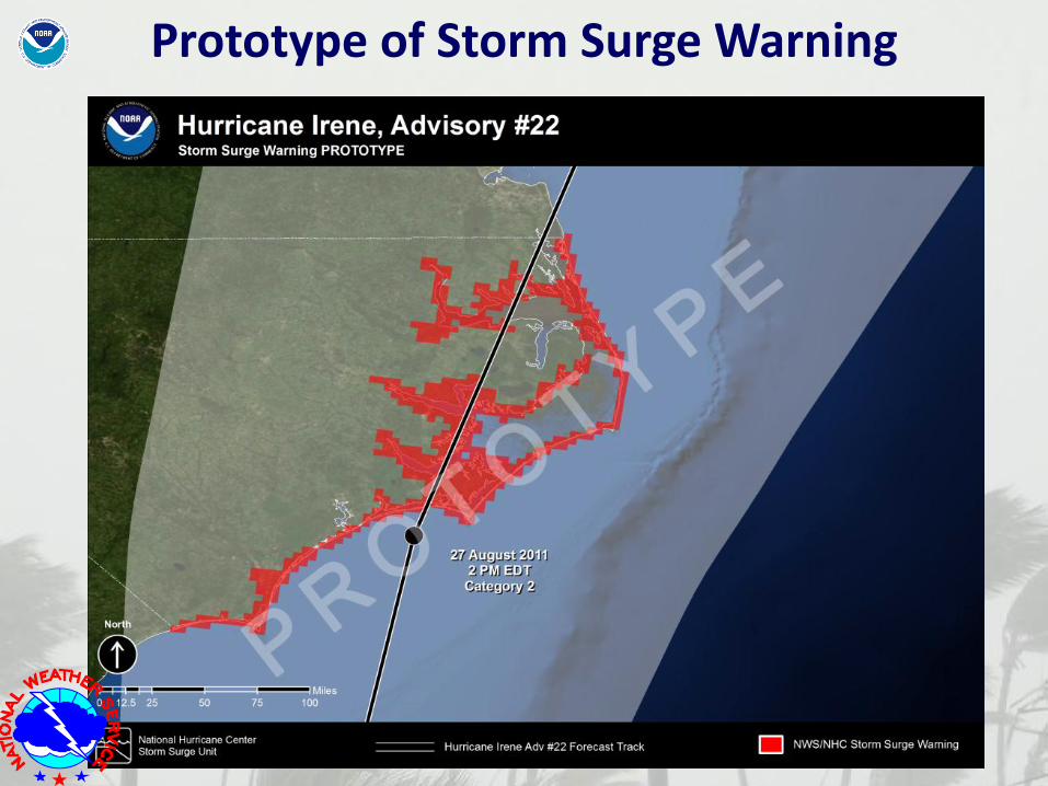
Prototype of Storm Surge Warning
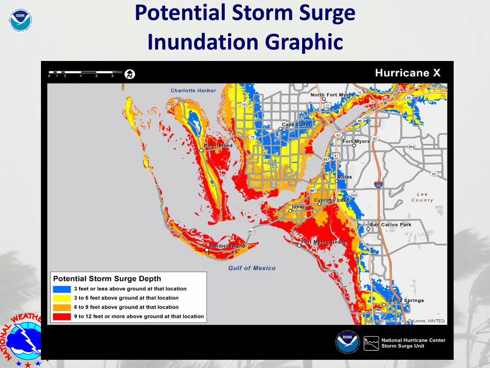
Potential Storm Surge Inundation Graphic
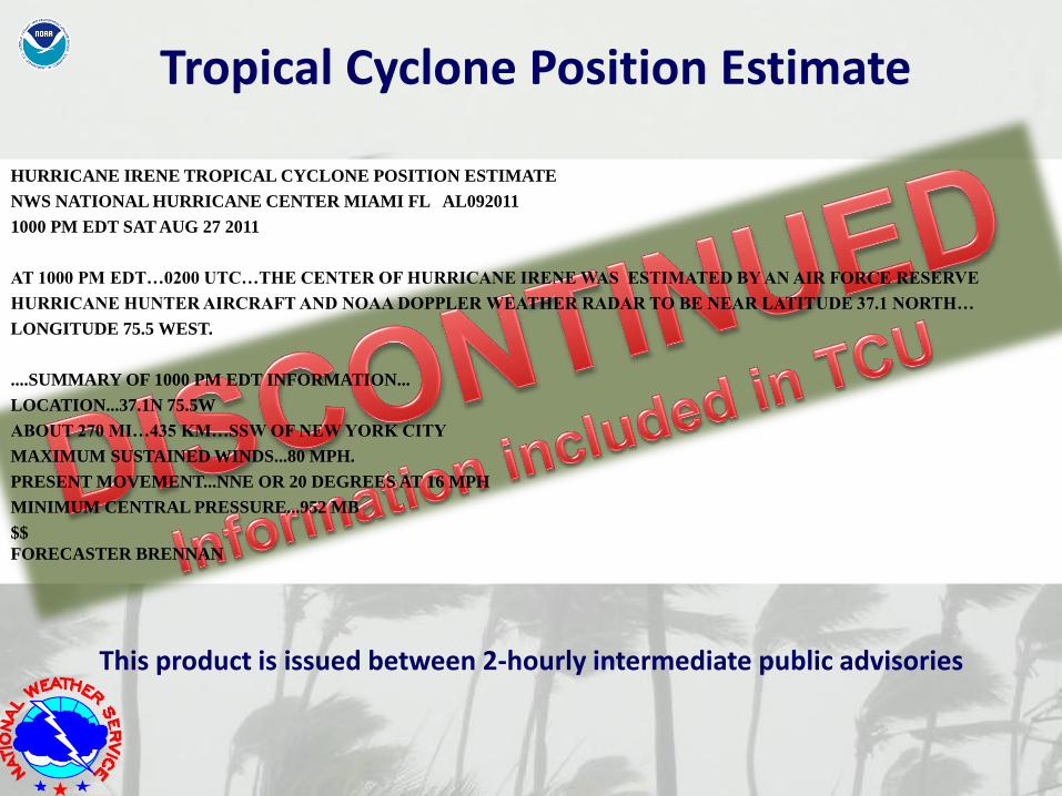
Tropical Cyclone Position Estimate
HURRICANE IRENE TROPICAL CYCLONE POSITION ESTIMATE
NWS NATIONAL HURRICANE CENTER MIAMI FL AL092011
1000 PM EDT SAT AUG 27 2011
AT 1000 PM EDT…0200 UTC…THE CENTER OF HURRICANE IRENE WAS ESTIMATED BY AN AIR FORCE RESERVE
HURRICANE HUNTER AIRCRAFT AND NOAA DOPPLER WEATHER RADAR TO BE NEAR LATITUDE 37.1 NORTH…
LONGITUDE 75.5 WEST.
....SUMMARY OF 1000 PM EDT INFORMATION...
LOCATION...37.1N 75.5W
ABOUT 270 MI…435 KM…SSW OF NEW YORK CITY
MAXIMUM SUSTAINED WINDS...80 MPH.
PRESENT MOVEMENT...NNE OR 20 DEGREES AT 16 MPH
MINIMUM CENTRAL PRESSURE...952 MB
$$
FORECASTER BRENNAN
This product is issued between 2-hourly intermediate public advisories
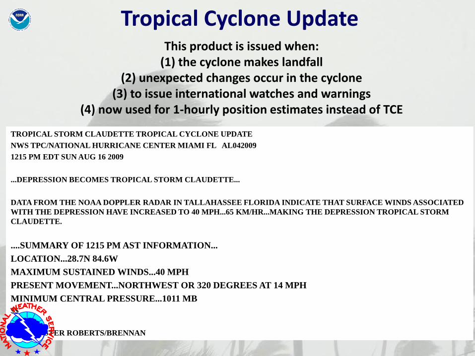
TROPICAL STORM CLAUDETTE TROPICAL CYCLONE UPDATE
NWS TPC/NATIONAL HURRICANE CENTER MIAMI FL AL042009
1215 PM EDT SUN AUG 16 2009
...DEPRESSION BECOMES TROPICAL STORM CLAUDETTE...
DATA FROM THE NOAA DOPPLER RADAR IN TALLAHASSEE FLORIDA INDICATE THAT SURFACE WINDS ASSOCIATED
WITH THE DEPRESSION HAVE INCREASED TO 40 MPH...65 KM/HR...MAKING THE DEPRESSION TROPICAL STORM
CLAUDETTE.
....SUMMARY OF 1215 PM AST INFORMATION...
LOCATION...28.7N 84.6W
MAXIMUM SUSTAINED WINDS...40 MPH
PRESENT MOVEMENT...NORTHWEST OR 320 DEGREES AT 14 MPH
MINIMUM CENTRAL PRESSURE...1011 MB
$$
FORECASTER ROBERTS/BRENNAN
This product is issued when:
(1) the cyclone makes landfall (2) unexpected changes occur in the cyclone
(3) to issue international watches and warnings (4) now used for 1-hourly position estimates instead of TCE
Tropical Cyclone Update
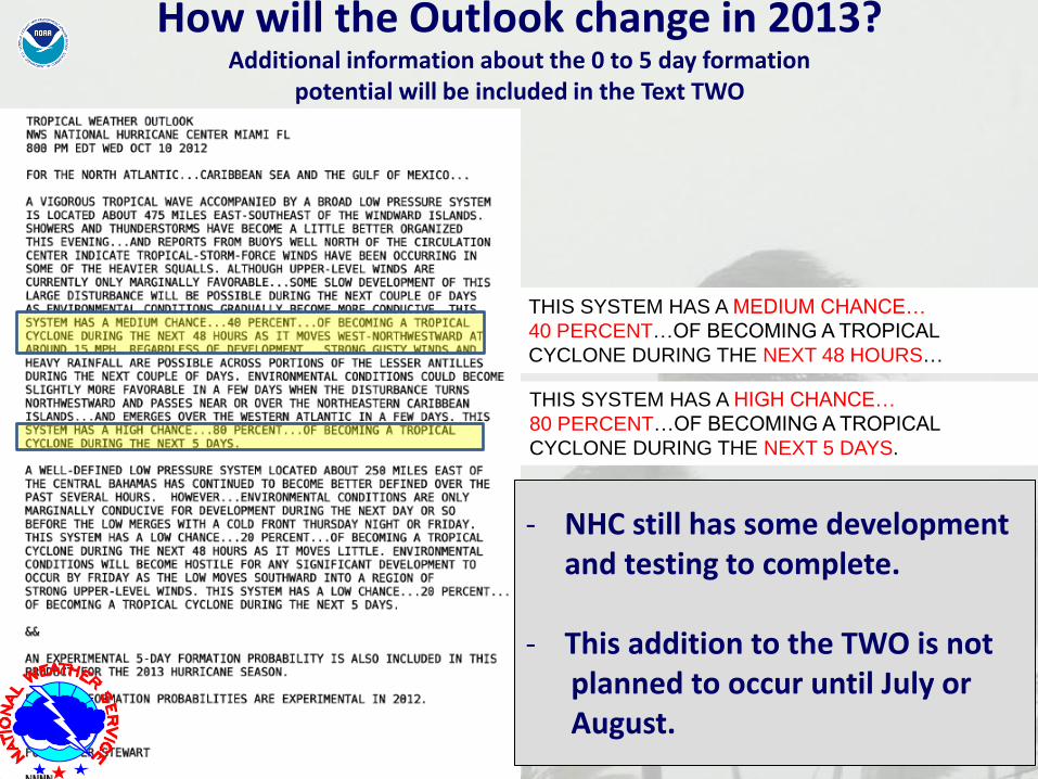
THIS SYSTEM HAS A MEDIUM CHANCE…
40 PERCENT…OF BECOMING A TROPICAL
CYCLONE DURING THE NEXT 48 HOURS…
THIS SYSTEM HAS A HIGH CHANCE…
80 PERCENT…OF BECOMING A TROPICAL
CYCLONE DURING THE NEXT 5 DAYS.
How will the Outlook change in 2013? Additional information about the 0 to 5 day formation
potential will be included in the Text TWO
- NHC still has some development and testing to complete.
- This addition to the TWO is not planned to occur until July or August.
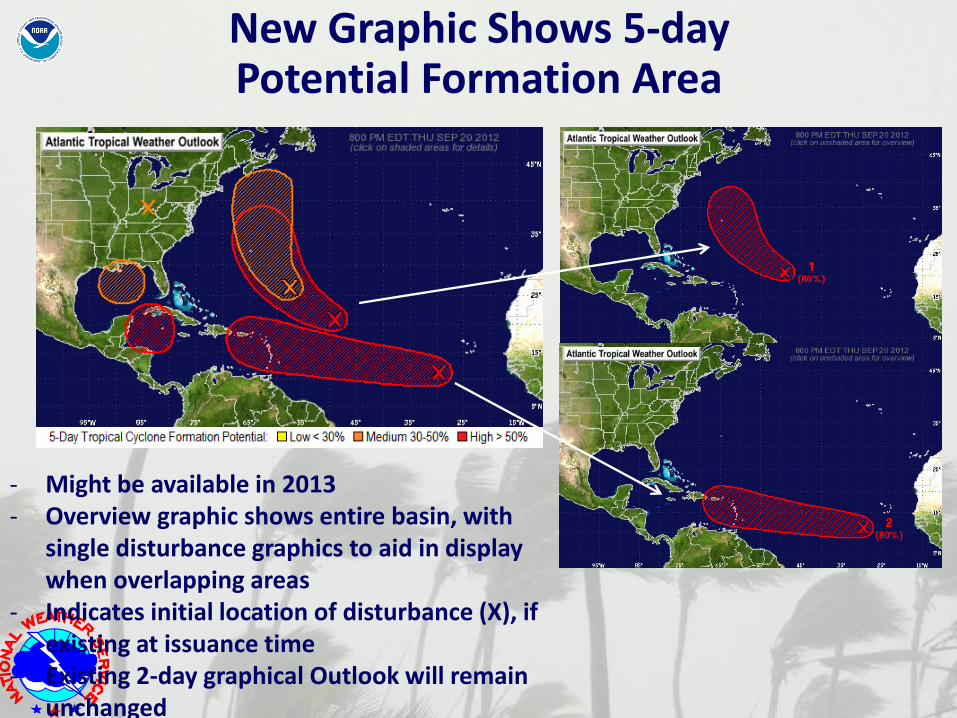
- Might be available in 2013 - Overview graphic shows entire basin, with
single disturbance graphics to aid in display when overlapping areas
- Indicates initial location of disturbance (X), if existing at issuance time
- Existing 2-day graphical Outlook will remain unchanged
New Graphic Shows 5-day Potential Formation Area
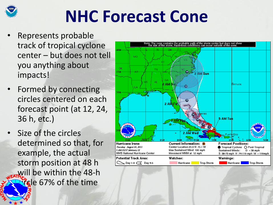
NHC Forecast Cone • Represents probable
track of tropical cyclone center – but does not tell you anything about impacts!
• Formed by connecting circles centered on each forecast point (at 12, 24, 36 h, etc.)
• Size of the circles determined so that, for example, the actual storm position at 48 h will be within the 48-h circle 67% of the time
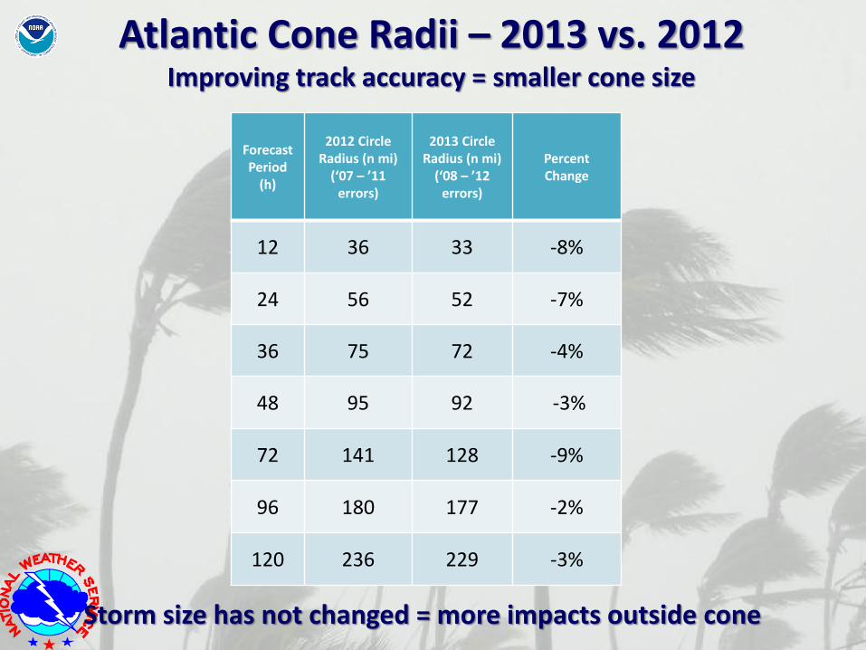
Forecast Period
(h)
2012 Circle Radius (n mi)
(‘07 – ’11 errors)
2013 Circle Radius (n mi)
(‘08 – ’12 errors)
Percent Change
12 36 33 -8%
24 56 52 -7%
36 75 72 -4%
48 95 92 -3%
72 141 128 -9%
96 180 177 -2%
120 236 229 -3%
Atlantic Cone Radii – 2013 vs. 2012 Improving track accuracy = smaller cone size
Storm size has not changed = more impacts outside cone
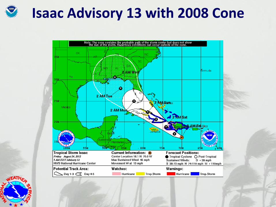
Isaac Advisory 13 with 2008 Cone
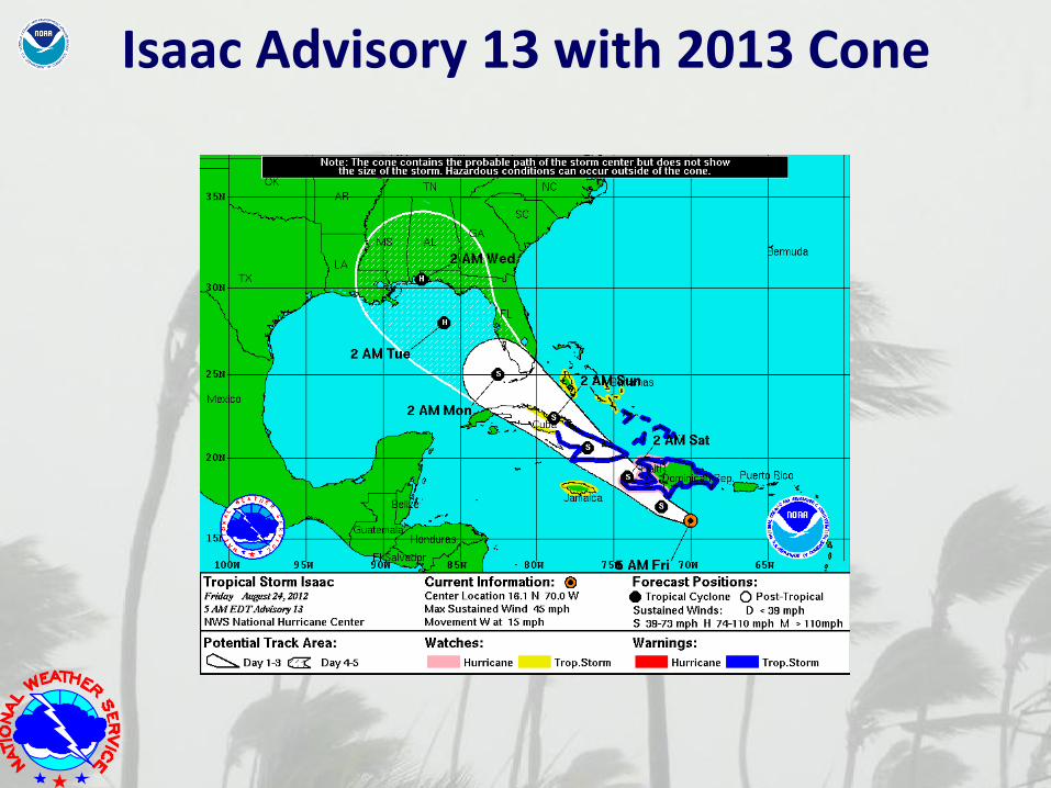
Isaac Advisory 13 with 2013 Cone
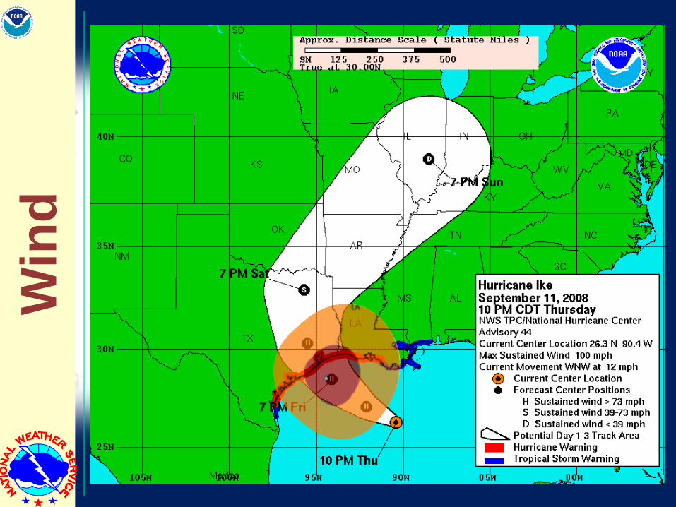
Win
d
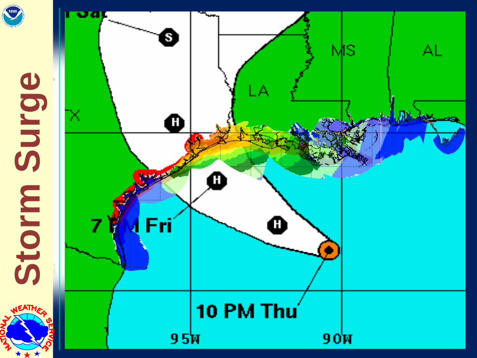
Sto
rm S
urg
e
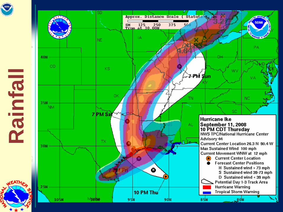
Ra
infa
ll
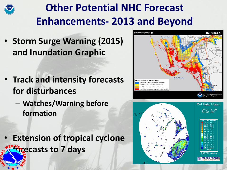
Other Potential NHC Forecast Enhancements- 2013 and Beyond
• Storm Surge Warning (2015) and Inundation Graphic
• Track and intensity forecasts for disturbances
– Watches/Warning before formation
• Extension of tropical cyclone forecasts to 7 days
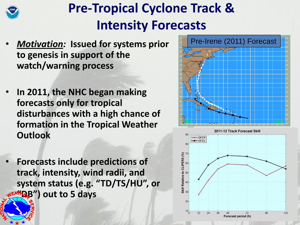
• Motivation: Issued for systems prior to genesis in support of the watch/warning process
• In 2011, the NHC began making forecasts only for tropical disturbances with a high chance of formation in the Tropical Weather Outlook
• Forecasts include predictions of track, intensity, wind radii, and system status (e.g. “TD/TS/HU”, or “DB”) out to 5 days
Pre-Irene (2011) Forecast
Pre-Tropical Cyclone Track & Intensity Forecasts
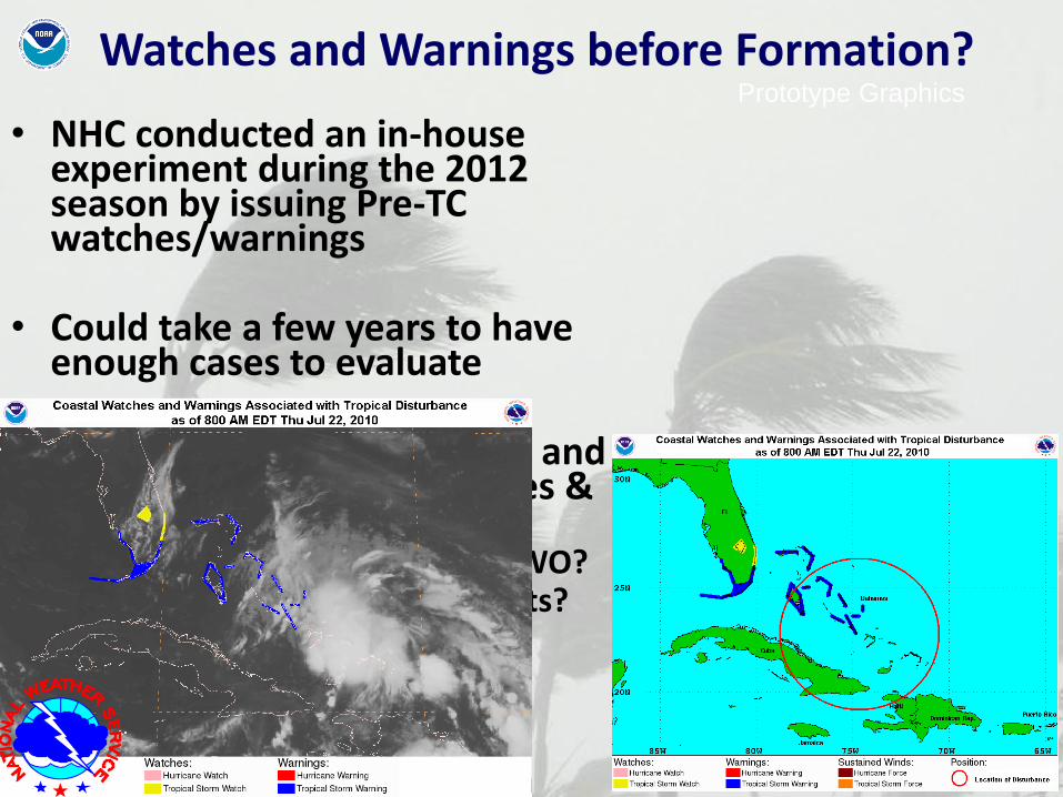
• NHC conducted an in-house
experiment during the 2012 season by issuing Pre-TC watches/warnings
• Could take a few years to have enough cases to evaluate
• NHC exploring ways to issue and
communicate pre-TC watches & warnings – Through graphical and text TWO? – Through advisory-like products? – New products?
Prototype Graphics
Watches and Warnings before Formation?
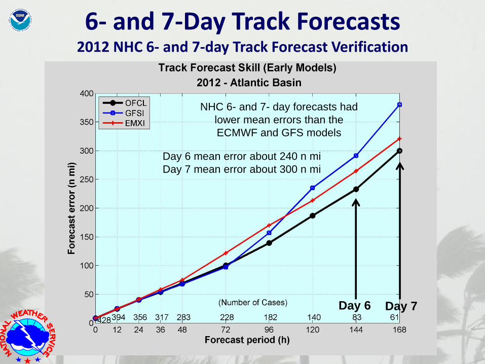
Day 6 Day 7
NHC 6- and 7- day forecasts had
lower mean errors than the
ECMWF and GFS models
Day 6 mean error about 240 n mi
Day 7 mean error about 300 n mi
6- and 7-Day Track Forecasts 2012 NHC 6- and 7-day Track Forecast Verification
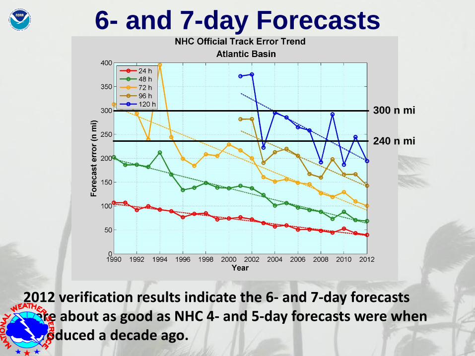
2012 verification results indicate the 6- and 7-day forecasts were about as good as NHC 4- and 5-day forecasts were when introduced a decade ago.
6- and 7-day Forecasts
240 n mi
300 n mi
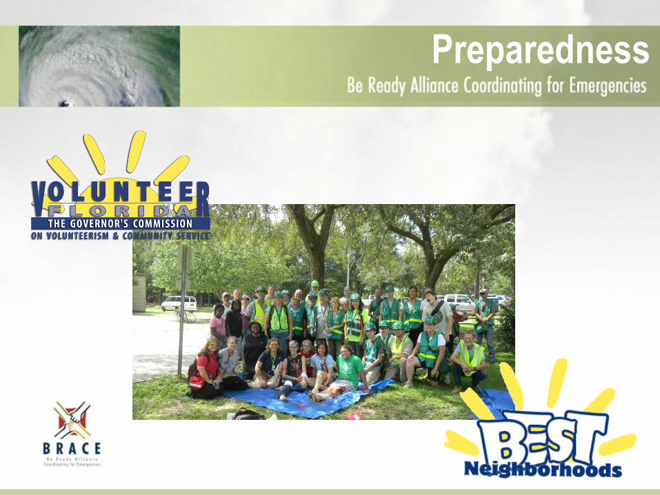
BRACE
Programs & Services
Overview
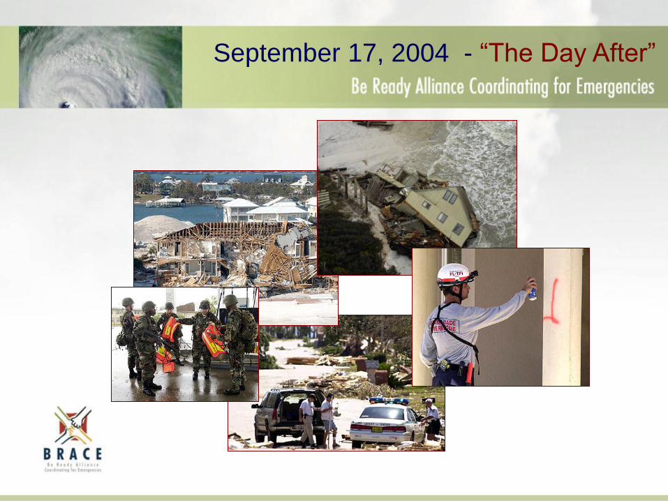
September 17, 2004 - “The Day After”
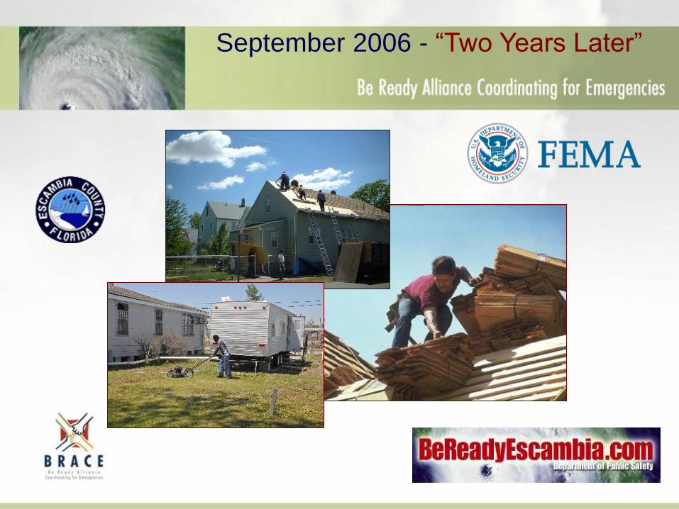
September 2006 - “Two Years Later”
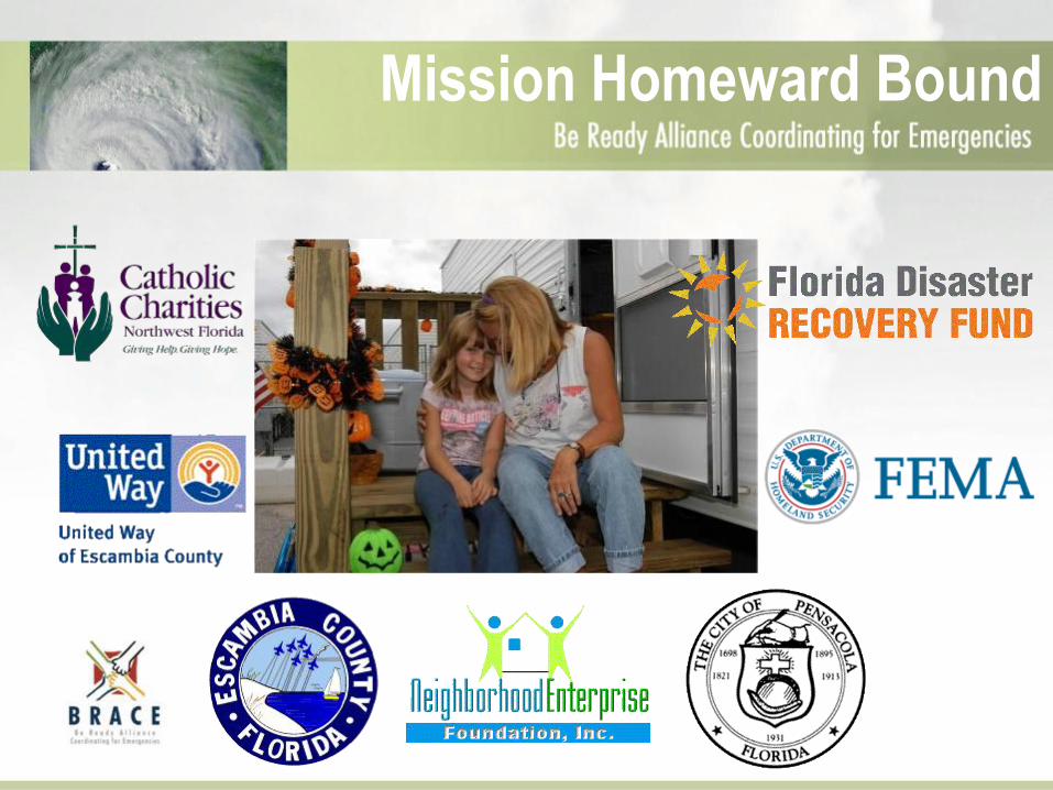
Mission Homeward Bound
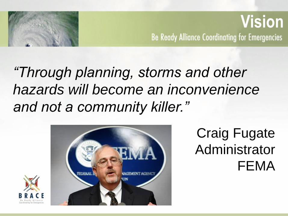
“Through planning, storms and other
hazards will become an inconvenience
and not a community killer.”
Craig Fugate
Administrator
FEMA
Vision
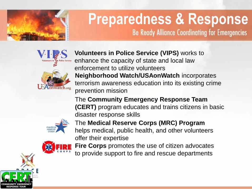
Preparedness & Response
The Community Emergency Response Team
(CERT) program educates and trains citizens in basic
disaster response skills
Fire Corps promotes the use of citizen advocates
to provide support to fire and rescue departments
The Medical Reserve Corps (MRC) Program
helps medical, public health, and other volunteers
offer their expertise
Neighborhood Watch/USAonWatch incorporates
terrorism awareness education into its existing crime
prevention mission
Volunteers in Police Service (VIPS) works to
enhance the capacity of state and local law
enforcement to utilize volunteers
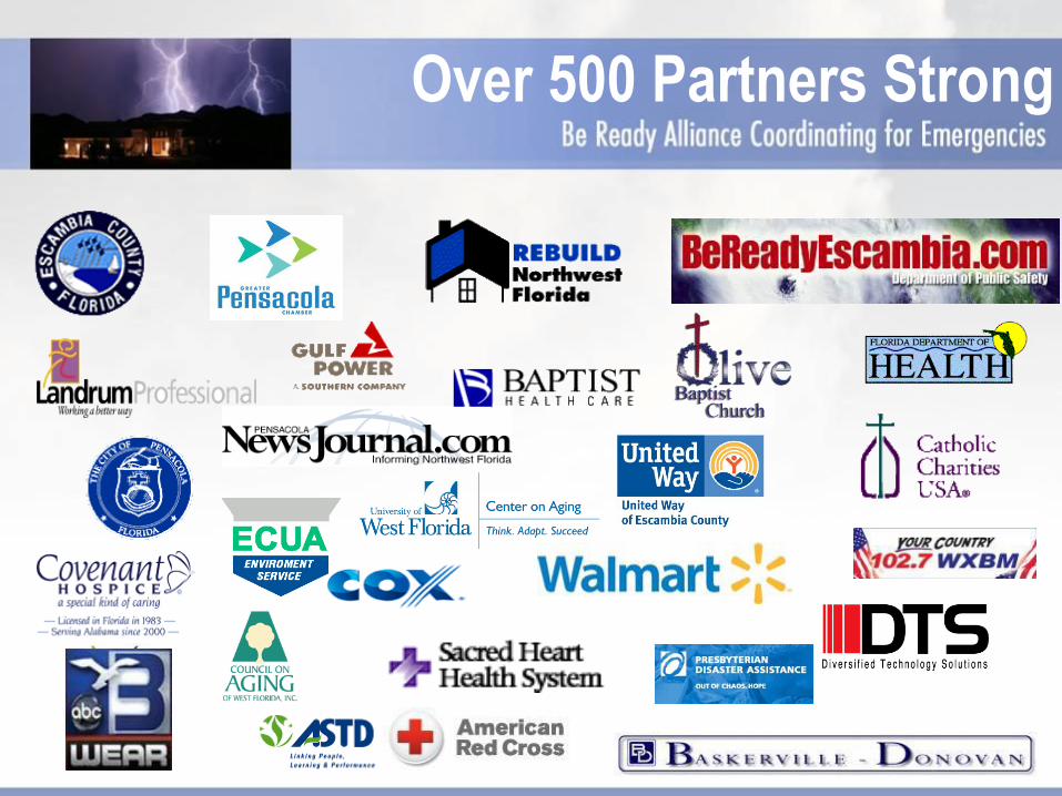
Over 500 Partners Strong
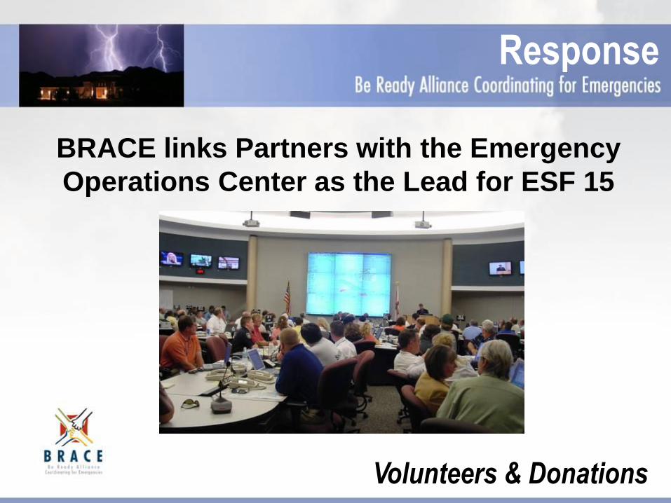
BRACE links Partners with the Emergency
Operations Center as the Lead for ESF 15
Response
Volunteers & Donations
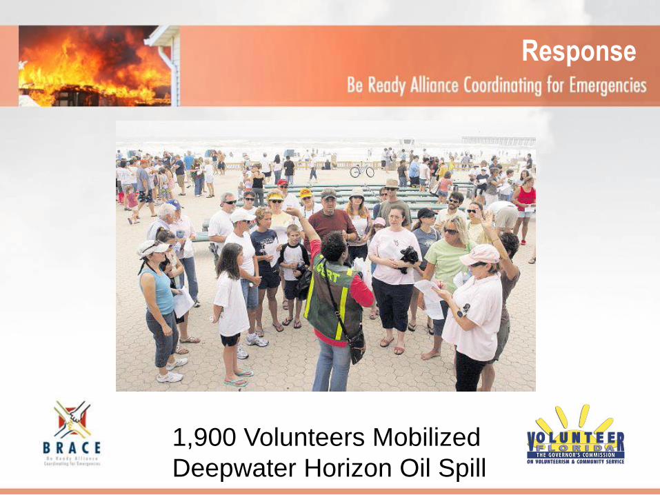
Response
1,900 Volunteers Mobilized
Deepwater Horizon Oil Spill
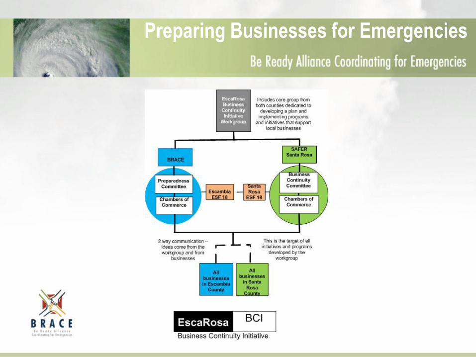
Preparing Businesses for Emergencies
Preparedness
Preparedness
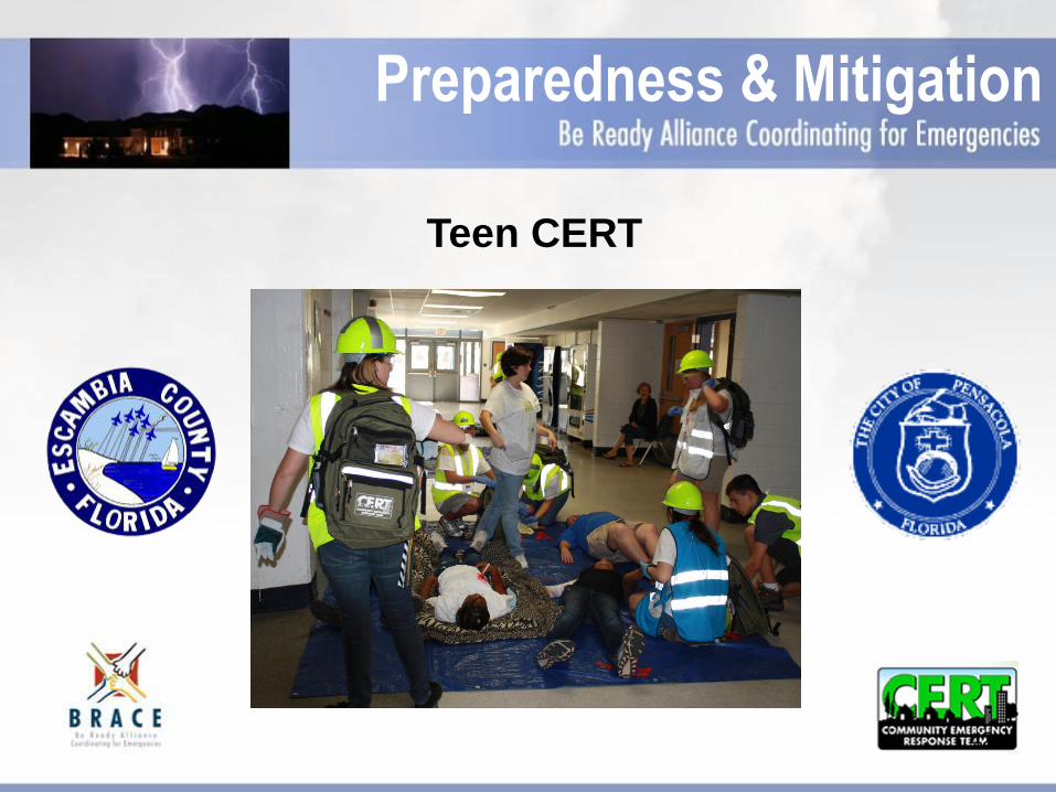
Teen CERT
Preparedness & Mitigation
42
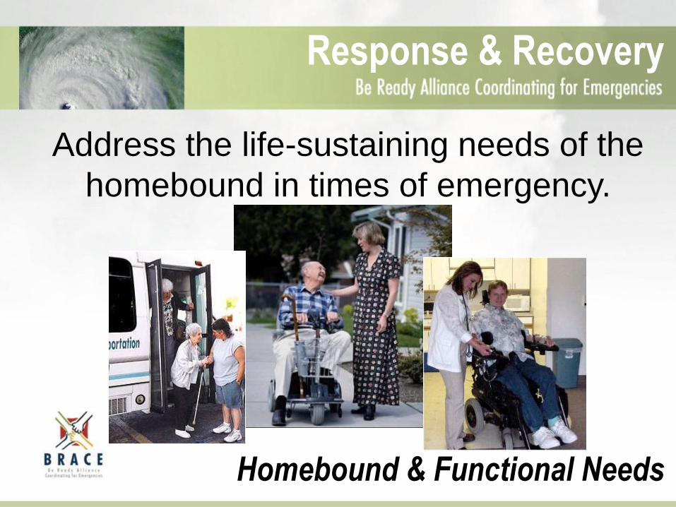
Address the life-sustaining needs of the
homebound in times of emergency.
Response & Recovery
Homebound & Functional Needs
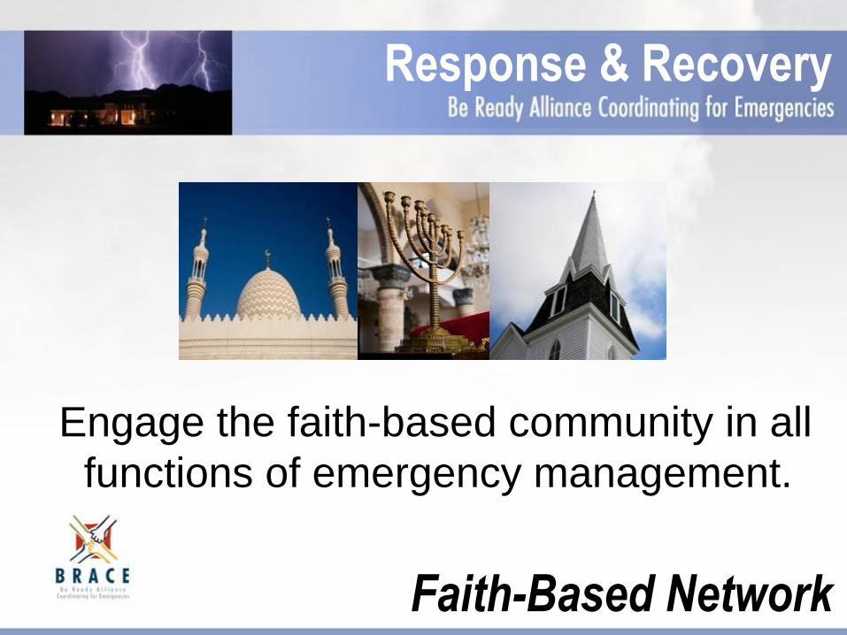
Engage the faith-based community in all
functions of emergency management.
Response & Recovery
Faith-Based Network

Secure childcare for first responders
in times of disaster
Childcare for First Responders
Response
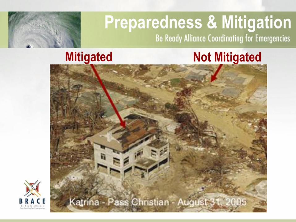
Preparedness & Mitigation
Mitigated Not Mitigated
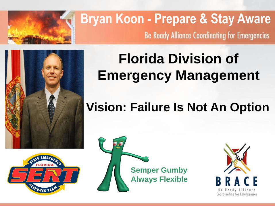
Bryan Koon - Prepare & Stay Aware
Florida Division of
Emergency Management
Vision: Failure Is Not An Option
Semper Gumby
Always Flexible
Preparedness Planning
FEMA
Hurricane Preparedness Webinar
May 21, 2013
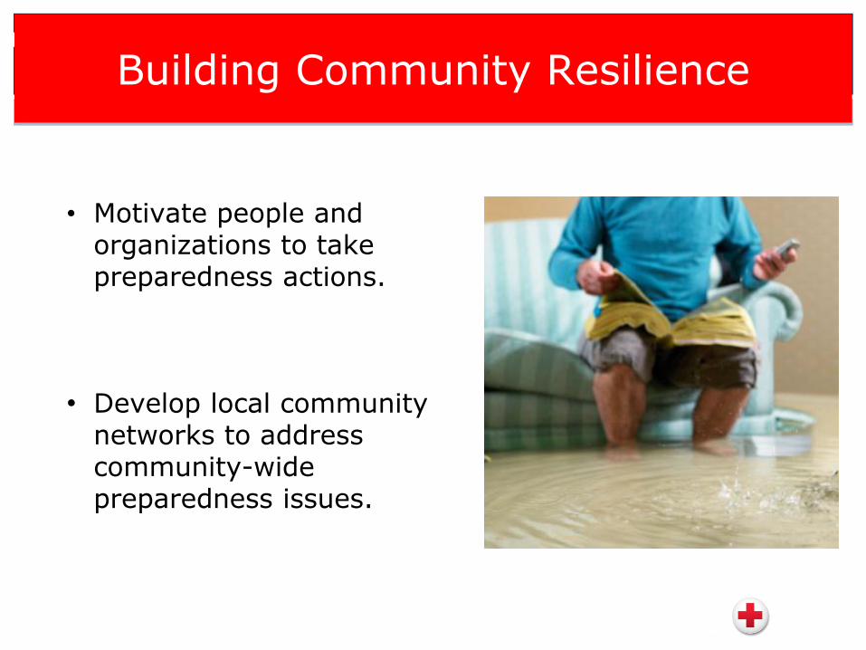
Building Community Resilience
• Motivate people and organizations to take preparedness actions.
• Develop local community networks to address community-wide preparedness issues.
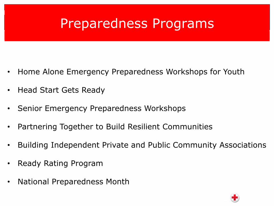
Preparedness Programs
• Home Alone Emergency Preparedness Workshops for Youth
• Head Start Gets Ready
• Senior Emergency Preparedness Workshops
• Partnering Together to Build Resilient Communities
• Building Independent Private and Public Community Associations
• Ready Rating Program
• National Preparedness Month
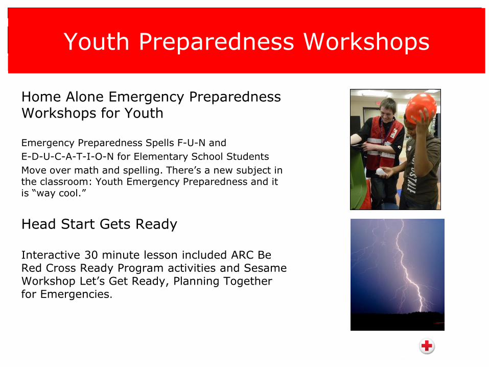
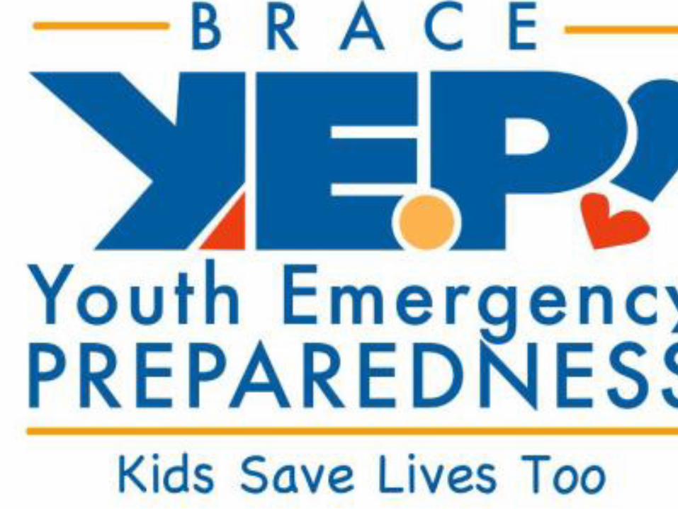
Youth Preparedness Workshops
Home Alone Emergency Preparedness Workshops for Youth
Emergency Preparedness Spells F-U-N and
E-D-U-C-A-T-I-O-N for Elementary School Students
Move over math and spelling. There’s a new subject in the classroom: Youth Emergency Preparedness and it is “way cool.”
Head Start Gets Ready
Interactive 30 minute lesson included ARC Be Red Cross Ready Program activities and Sesame Workshop Let’s Get Ready, Planning Together for Emergencies.
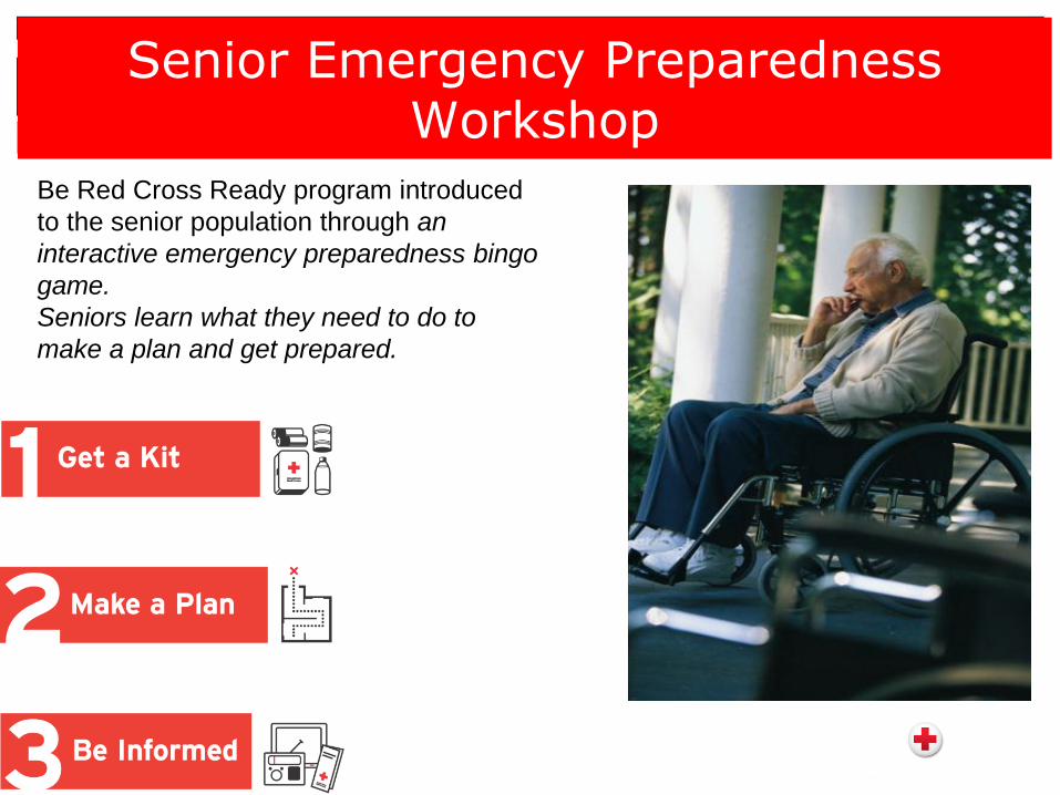
Senior Emergency Preparedness Workshop
Be Red Cross Ready program introduced
to the senior population through an
interactive emergency preparedness bingo
game.
Seniors learn what they need to do to
make a plan and get prepared.
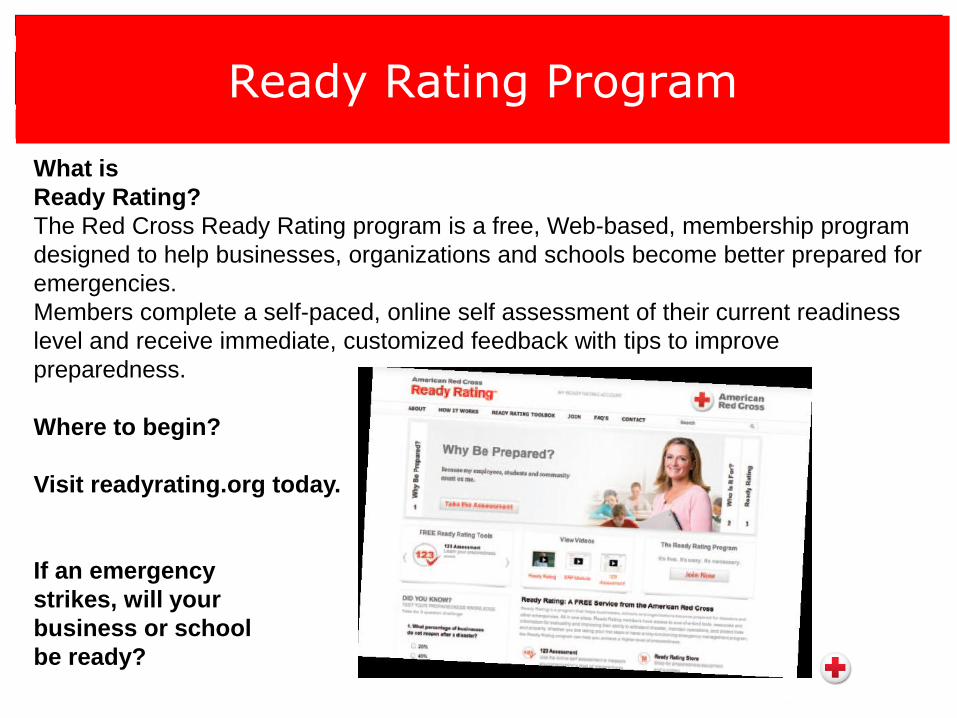
Ready Rating Program
What is
Ready Rating?
The Red Cross Ready Rating program is a free, Web-based, membership program
designed to help businesses, organizations and schools become better prepared for
emergencies.
Members complete a self-paced, online self assessment of their current readiness
level and receive immediate, customized feedback with tips to improve
preparedness.
Where to begin?
Visit readyrating.org today.
If an emergency
strikes, will your
business or school
be ready?
Visit http://www.redcross.org/prepare
• Prepare Your Home and Family
• Prepare Your School
• Prepare Your Workplace
• Types of Emergencies
• Tools and Resources
Plan and Prepare Together
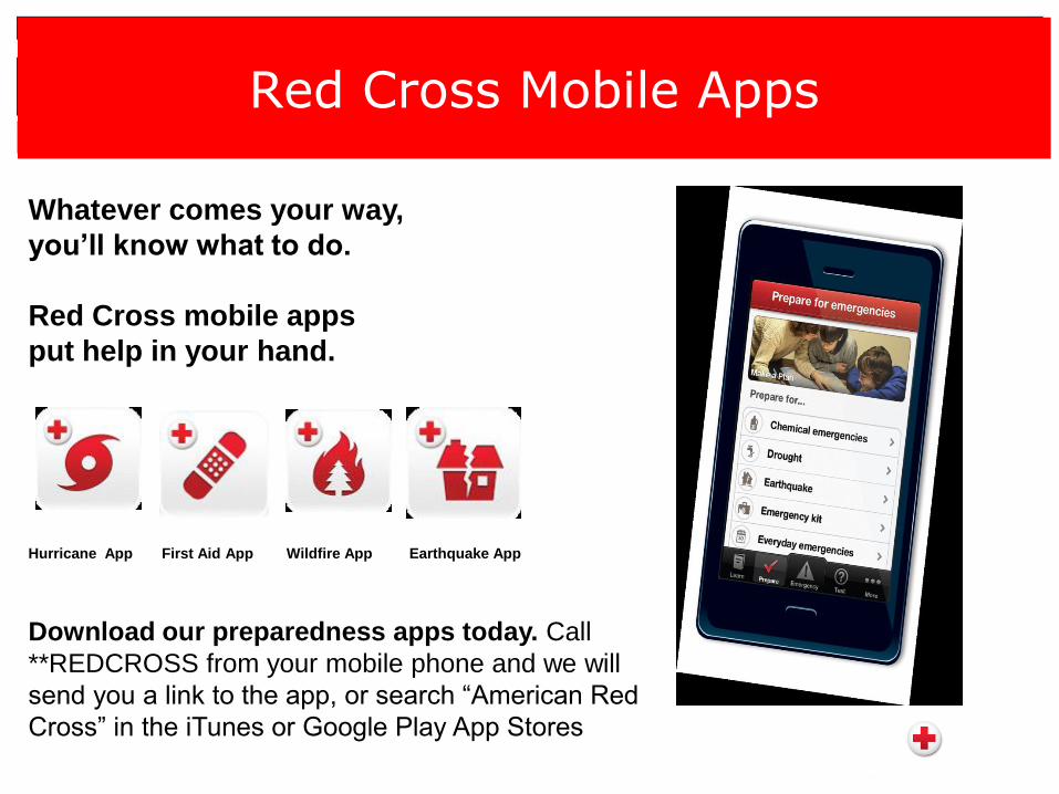
Red Cross Mobile Apps
Whatever comes your way,
you’ll know what to do.
Red Cross mobile apps
put help in your hand.
Hurricane App First Aid App Wildfire App Earthquake App
Download our preparedness apps today. Call
**REDCROSS from your mobile phone and we will
send you a link to the app, or search “American Red
Cross” in the iTunes or Google Play App Stores
Engaging Volunteers and Youth Groups
Mobilizing the Power of
Volunteers
Recruitment
Training
Communication
Recognition
Retention
Partners in Preparedness
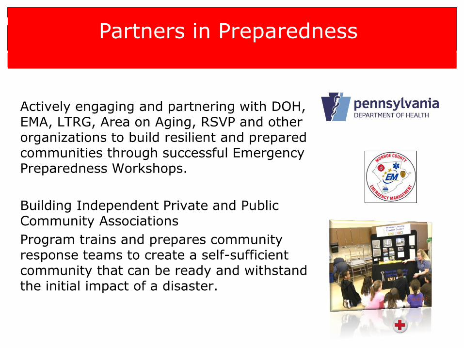
Actively engaging and partnering with DOH, EMA, LTRG, Area on Aging, RSVP and other organizations to build resilient and prepared communities through successful Emergency Preparedness Workshops.
Building Independent Private and Public Community Associations
Program trains and prepares community response teams to create a self-sufficient community that can be ready and withstand the initial impact of a disaster.
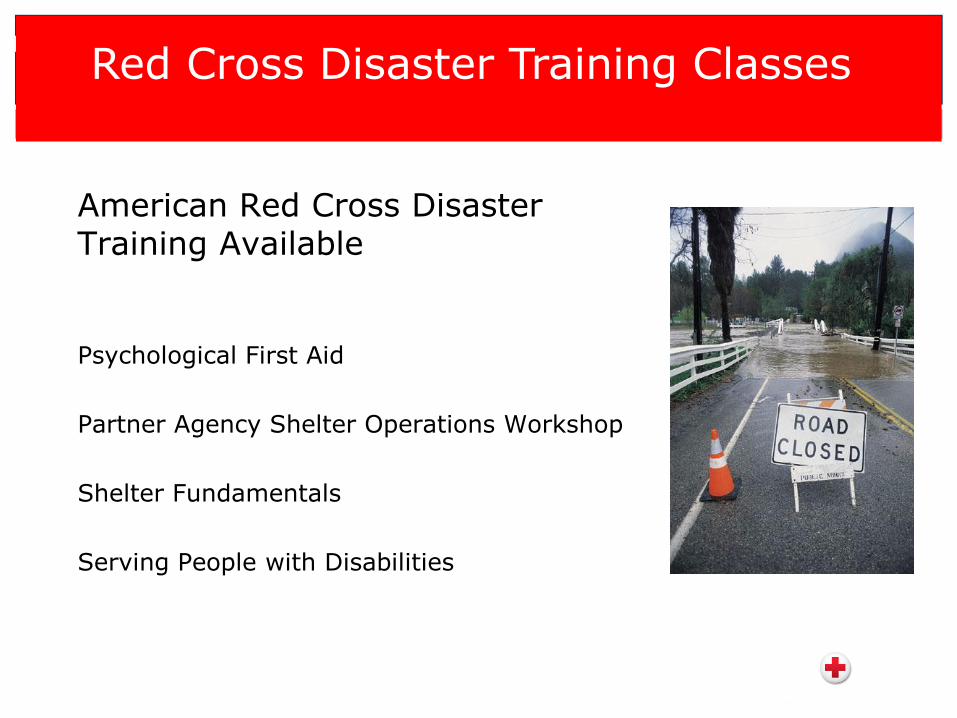
American Red Cross Disaster Training Available
Psychological First Aid
Partner Agency Shelter Operations Workshop
Shelter Fundamentals
Serving People with Disabilities
Red Cross Disaster Training Classes
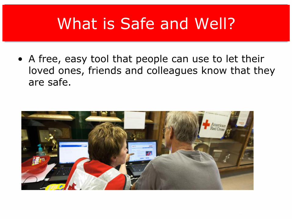
What is Safe and Well?
• A free, easy tool that people can use to let their loved ones, friends and colleagues know that they are safe.
•
Resources
• Redcross.org
• FEMA.gov
• www.health.state.pa.us
• www.cdc.gov
• www.readypa.org
• www.ready.gov
• www.pema.state.pa.us
• www.flu.gov
• www.who.org
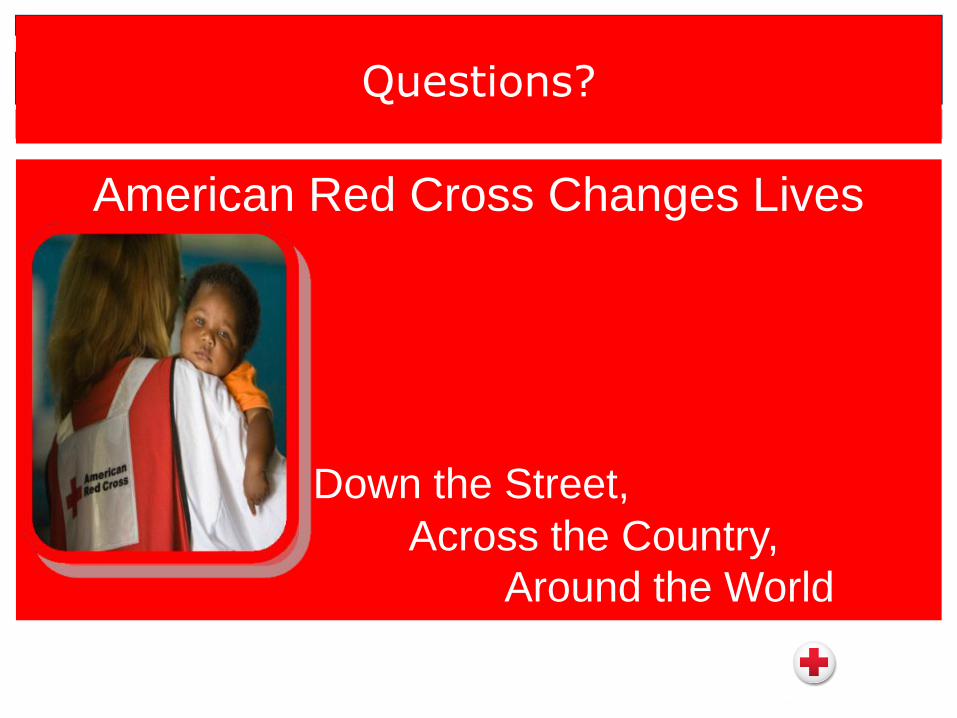
Questions?
American Red Cross Changes Lives
Down the Street,
Across the Country,
Around the World
Contact Information
Gail Toscano
American Red Cross of Northeast PA Region
Preparedness and Resiliency Manager
570-476-3896
www.redcross.org
Tools and Resources
• Against the Wind: Protecting Your Home from Hurricane and Wind
Damage (FEMA-247) [FEMA]
• IS-324: Community Hurricane Preparedness [FEMA]
• Protect Your Property or Business from High Winds [FEMA]
• IS – 909 Course Materials (Provided in both English and Spanish)
[FEMA]
• Emergency Financial First Aid Kit (EFFAK)
• Ready.gov website
Upcoming Webinars
Alerts & Warnings: Preparing Communities through Disaster
Communications • June 4, 2013 at 3 PM • Registration: http://connect.hsin.gov/alertsa/event/registration.html
After the Storm: Hurricane Recovery and Disaster Assistance
Resources • June 11, 2013 at 3 PM • Registration: http://connect.hsin.gov/hurricanepart2a/event/registration.html
Faith-Based Organizations and Disaster Assistance: Preparing Today
to Help Tomorrow • June 18, 2013 at 3 PM • Registration: http://connect.hsin.gov/faithbasedorgsa/event/registration.html
2013 Individual and Community Preparedness Awards
Know an outstanding individual or organization working to
make safer, stronger and better prepared communities?
Nominate them for the 2013 FEMA Individual and Community
Preparedness Awards!
The deadline for applications and nominations is June 5, 2013.
Submissions will be accepted at [email protected].
Visit http://www.ready.gov/citizen-corps-awards for more
information.

Questions?