Embed Size (px)
Citation preview
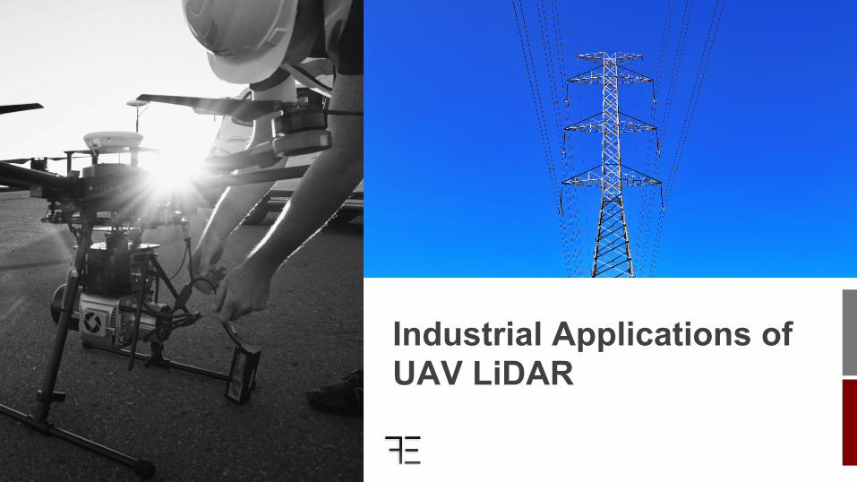
Industrial Applications of UAV LiDAR

Who We Are

Jordan Rising Director of Flight & Technology
David Ilgenfritz Director of Operations
● Connected with the sUAS (small Unmanned Aerial Systems) industry for 5+ years.
● We have worked with multiple Utility companies across the country.
● Corporate Headquarters in Hamilton, MT.
Who We Are
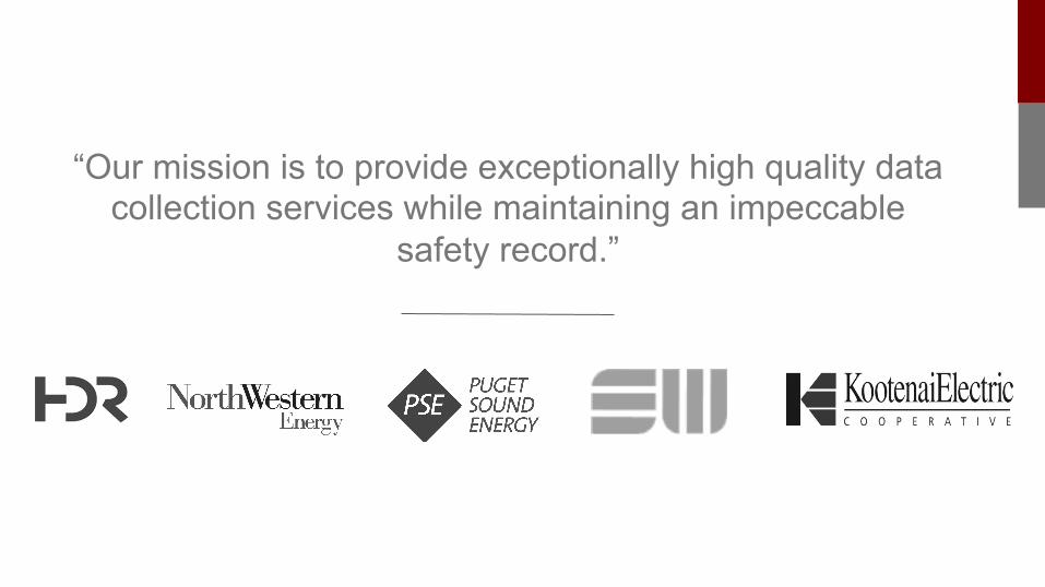
“Our mission is to provide exceptionally high quality data collection services while maintaining an impeccable
safety record.”

Overview
What We Will Cover ● UAVs in Utilities ● The Technology ● Comparison of Technology ● Workflow & Deliverables ● Current Work
How many of you have worked with UAVs or looked to integrate them into your
operations?
?
UAVs in Utilities
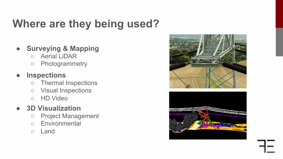
Where are they being used?
● Inspections ○ Thermal Inspections ○ Visual Inspections ○ HD Video
● Surveying & Mapping ○ Aerial LiDAR ○ Photogrammetry
● 3D Visualization ○ Project Management ○ Environmental ○ Land
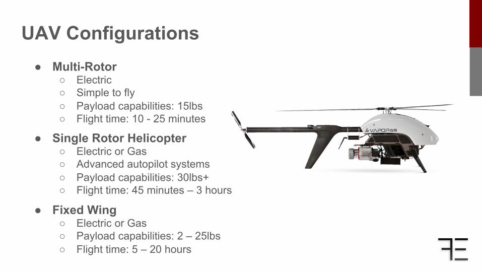
UAV Configurations ● Multi-Rotor
○ Electric ○ Simple to fly ○ Payload capabilities: 15lbs ○ Flight time: 10 - 25 minutes
● Single Rotor Helicopter ○ Electric or Gas ○ Advanced autopilot systems ○ Payload capabilities: 30lbs+ ○ Flight time: 45 minutes – 3 hours ● Fixed Wing ○ Electric or Gas ○ Payload capabilities: 2 – 25lbs ○ Flight time: 5 – 20 hours
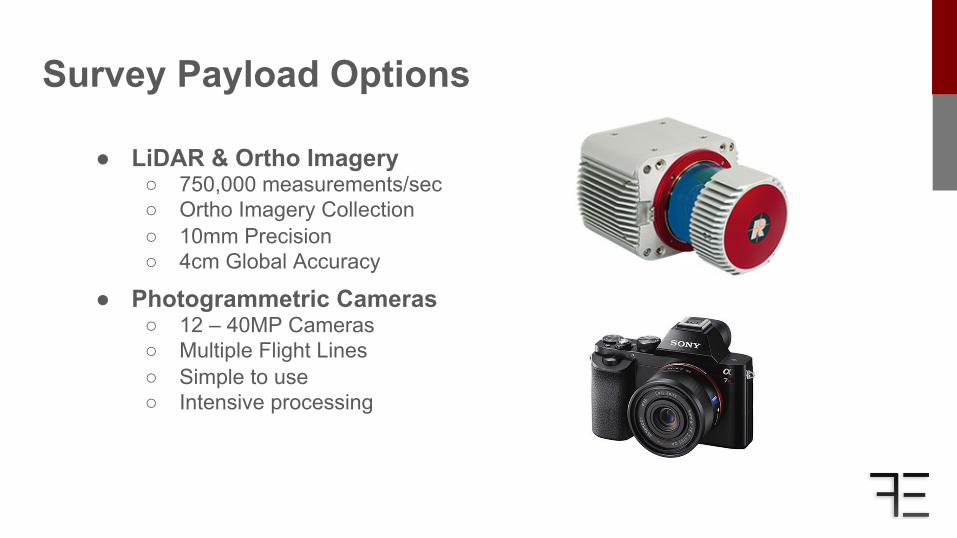
Survey Payload Options
● LiDAR & Ortho Imagery ○ 750,000 measurements/sec ○ Ortho Imagery Collection ○ 10mm Precision ○ 4cm Global Accuracy
● Photogrammetric Cameras ○ 12 – 40MP Cameras ○ Multiple Flight Lines ○ Simple to use ○ Intensive processing

Comparison
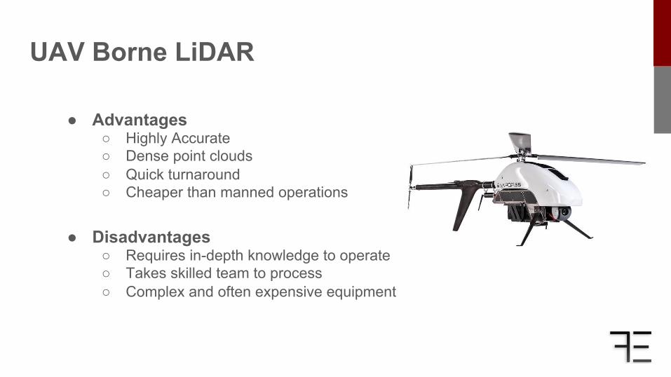
UAV Borne LiDAR
● Advantages ○ Highly Accurate ○ Dense point clouds ○ Quick turnaround ○ Cheaper than manned operations
● Disadvantages ○ Requires in-depth knowledge to operate ○ Takes skilled team to process ○ Complex and often expensive equipment
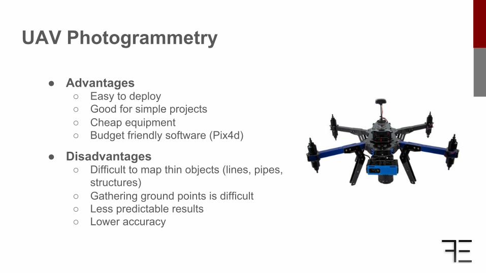
UAV Photogrammetry
● Advantages ○ Easy to deploy ○ Good for simple projects ○ Cheap equipment ○ Budget friendly software (Pix4d)
● Disadvantages ○ Difficult to map thin objects (lines, pipes,
structures) ○ Gathering ground points is difficult ○ Less predictable results ○ Lower accuracy
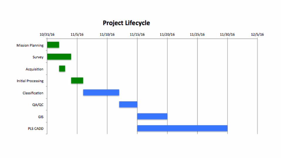
Workflow & Deliverables
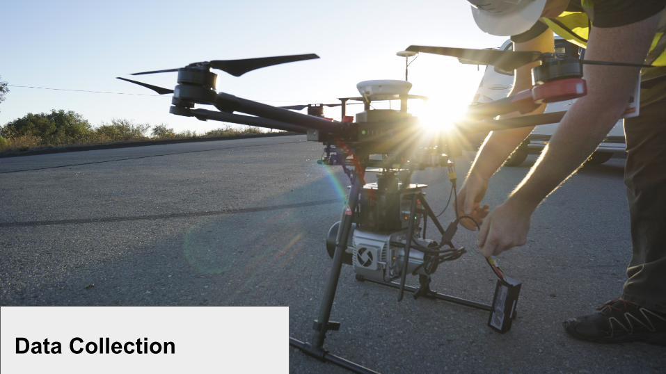
Data Collection
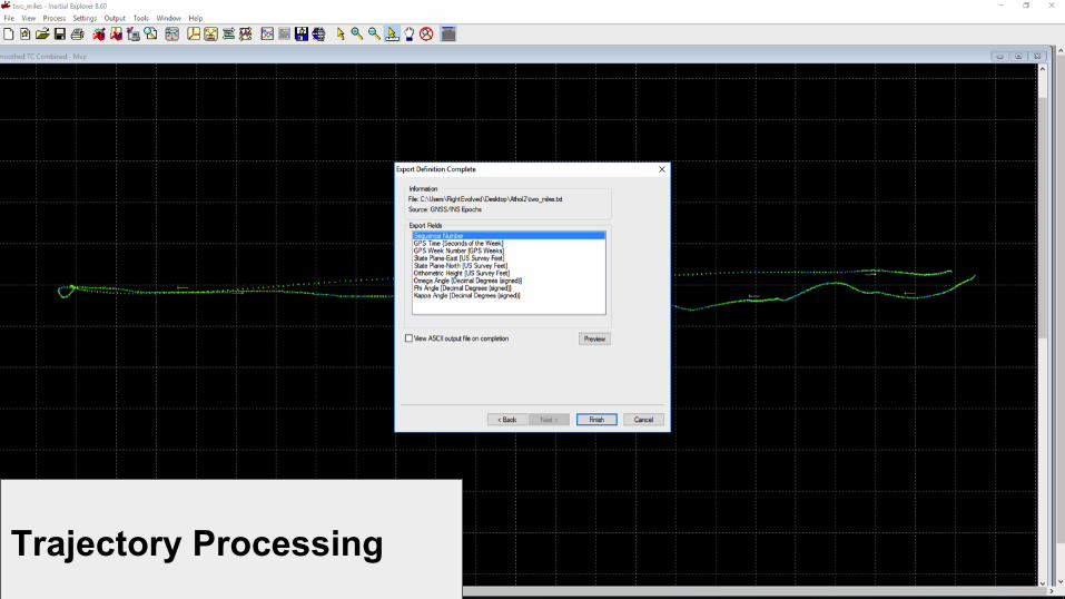
Trajectory Processing
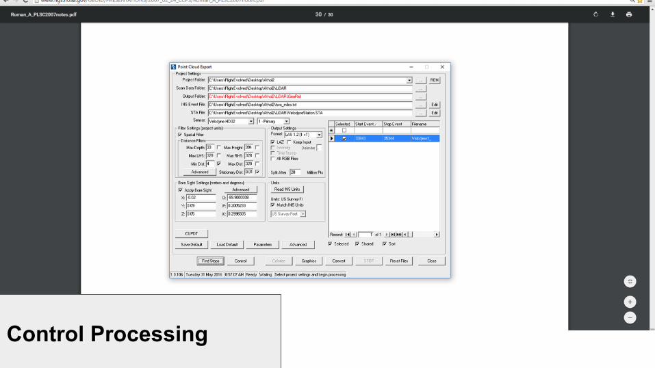
Control Processing
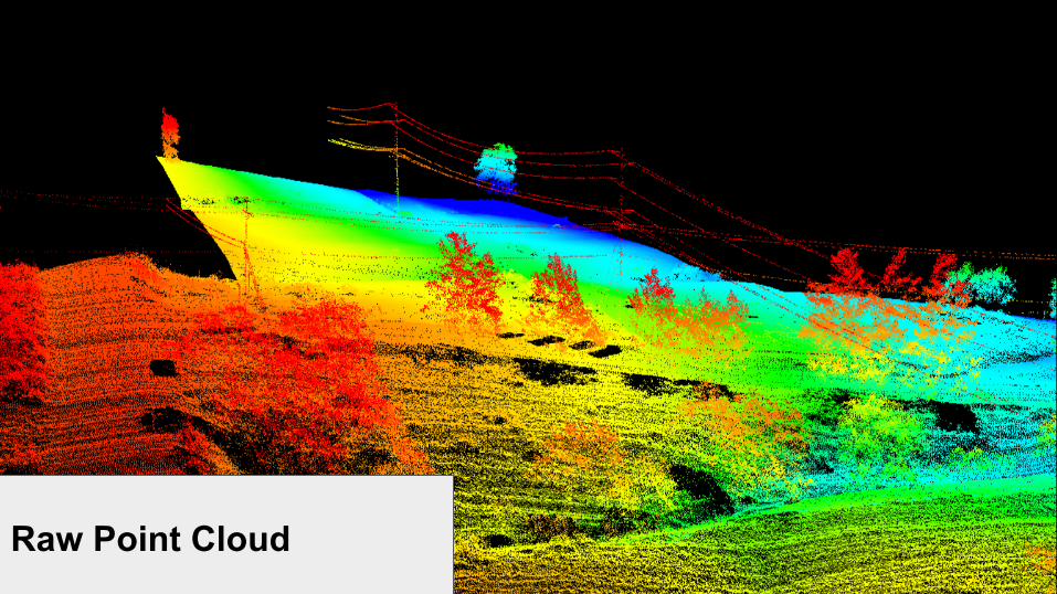
Raw Point Cloud
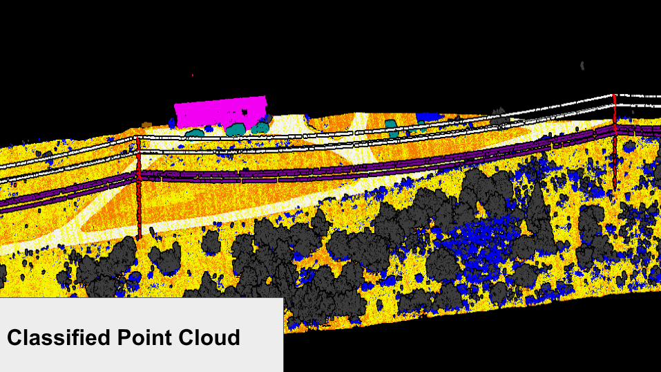
Classified Point Cloud
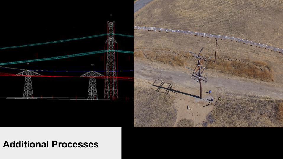
Additional Processes
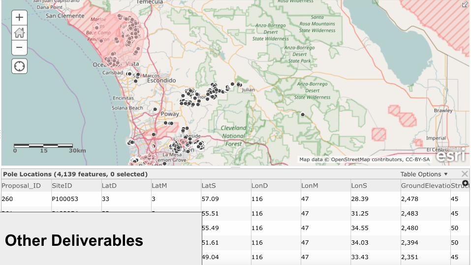
Other Deliverables

Current Work
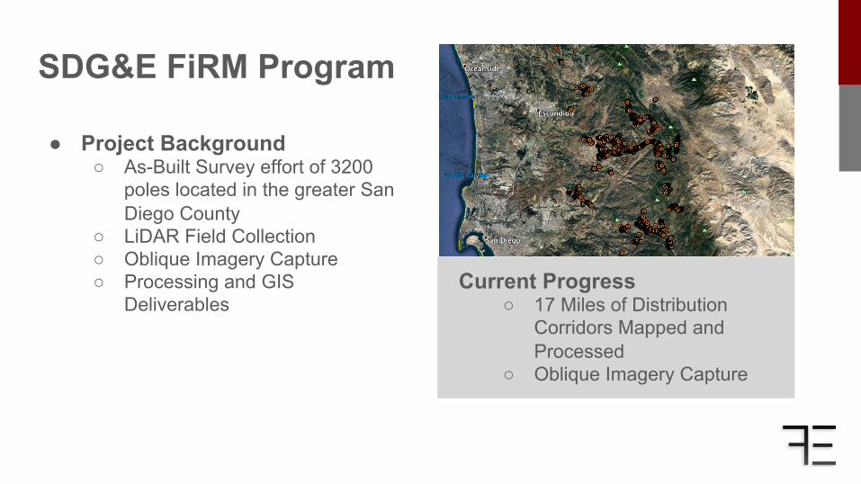
SDG&E FiRM Program
Current Progress ○ 17 Miles of Distribution
Corridors Mapped and Processed
○ Oblique Imagery Capture
● Project Background ○ As-Built Survey effort of 3200
poles located in the greater San Diego County
○ LiDAR Field Collection ○ Oblique Imagery Capture ○ Processing and GIS
Deliverables
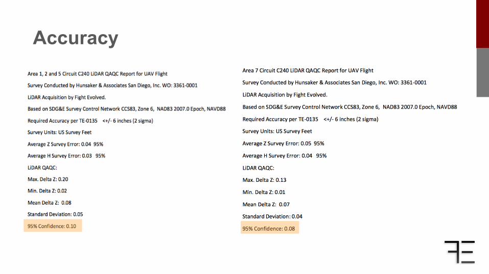
Accuracy
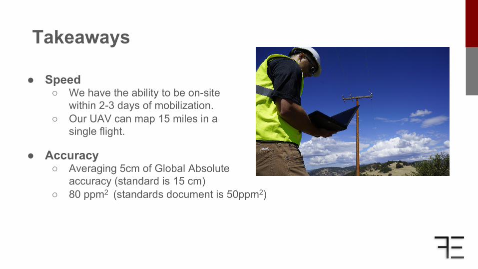
Takeaways ● Speed
○ We have the ability to be on-site within 2-3 days of mobilization.
○ Our UAV can map 15 miles in a single flight.
● Accuracy ○ Averaging 5cm of Global Absolute
accuracy (standard is 15 cm) ○ 80 ppm2 (standards document is 50ppm2)

Questions?