Embed Size (px)
Citation preview
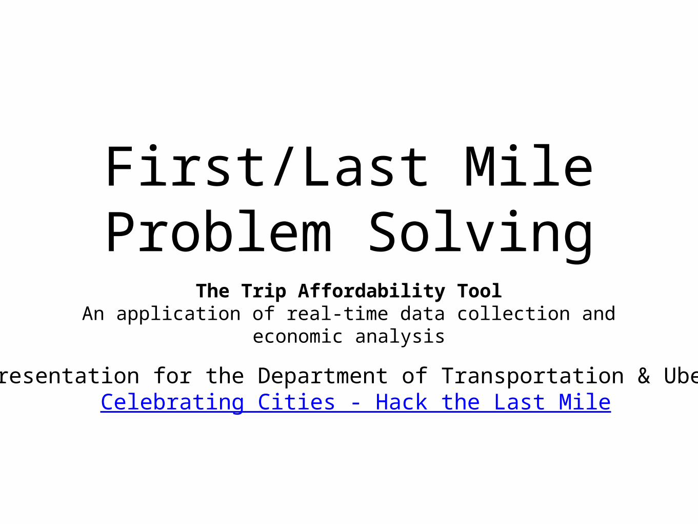
First/Last Mile Problem Solving
The Trip Affordability ToolAn application of real-time data collection and economic
analysis
Presentation for the Department of Transportation & Uber Celebrating Cities - Hack the Last Mile
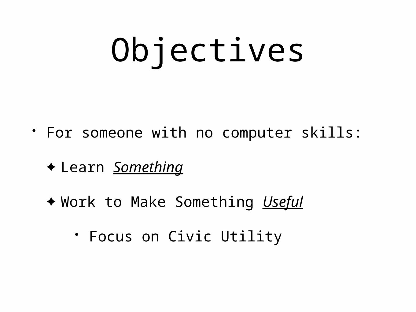
Objectives
• For someone with no computer skills:
✦ Learn Something
✦ Work to Make Something Useful
• Focus on Civic Utility

So…
What Do We Know?
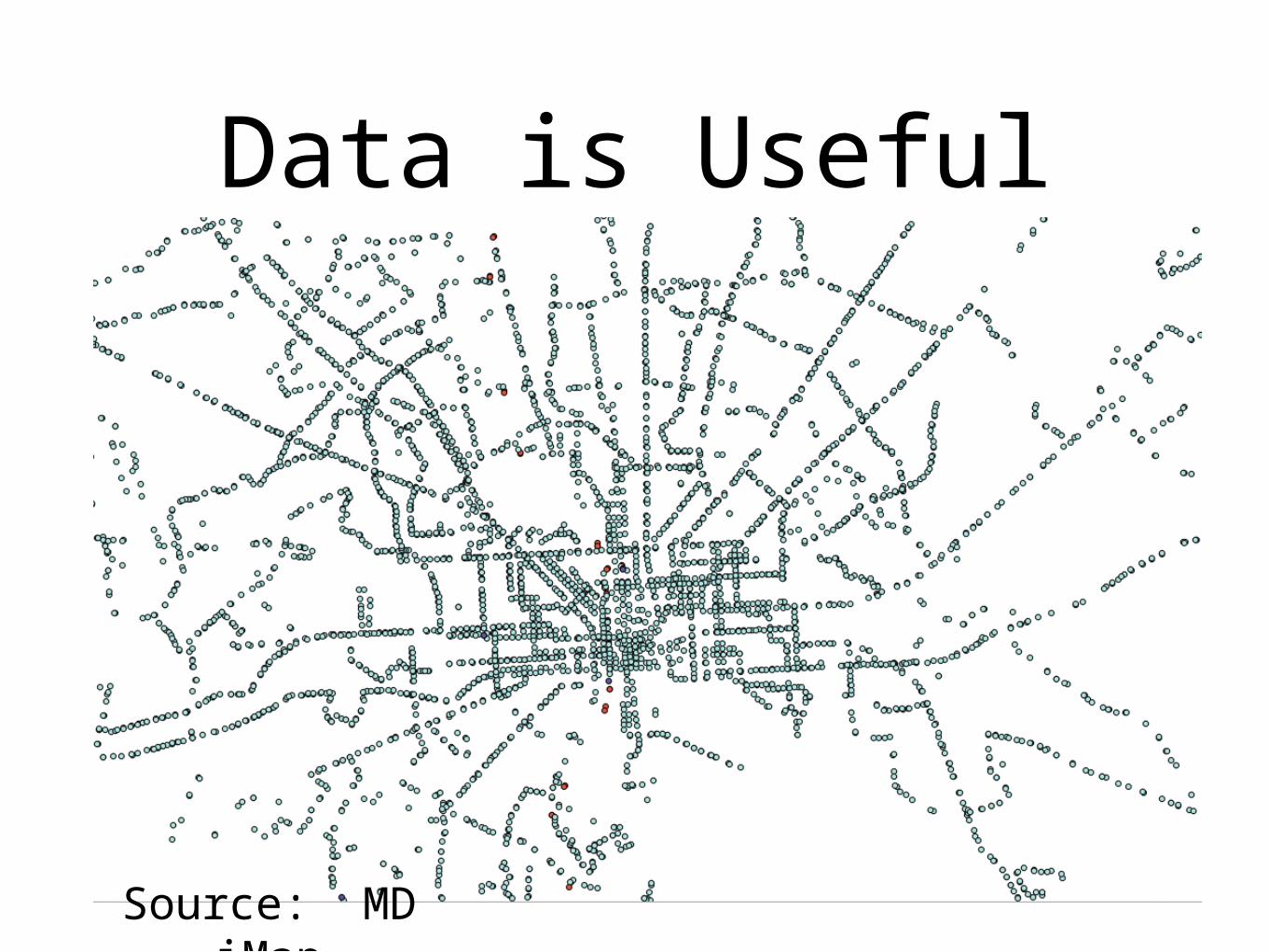
Data is Useful
Source: MD iMap
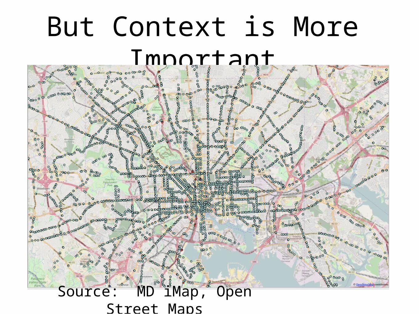
But Context is More Important
Source: MD iMap, Open Street Maps
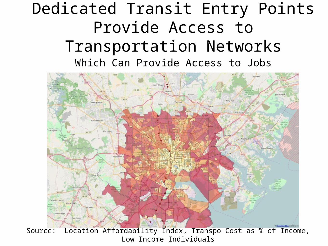
Dedicated Transit Entry Points Provide Access to Transportation
NetworksWhich Can Provide Access to Jobs
Source: Location Affordability Index, Transpo Cost as % of Income, Low Income Individuals
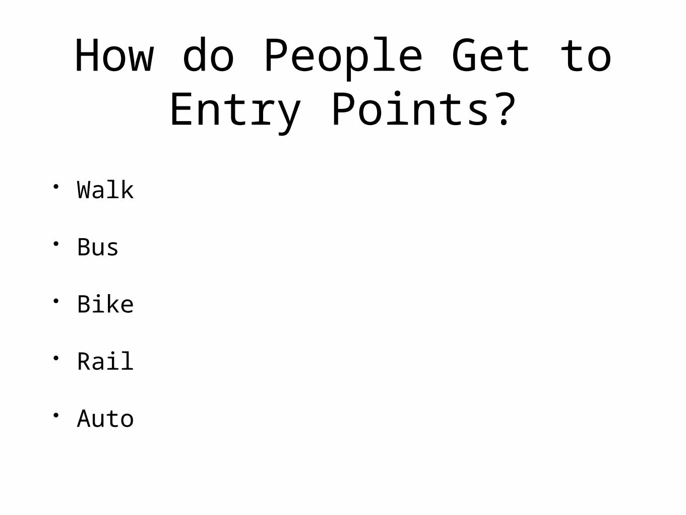
How do People Get to Entry Points?
• Walk
• Bus
• Bike
• Rail
• Auto
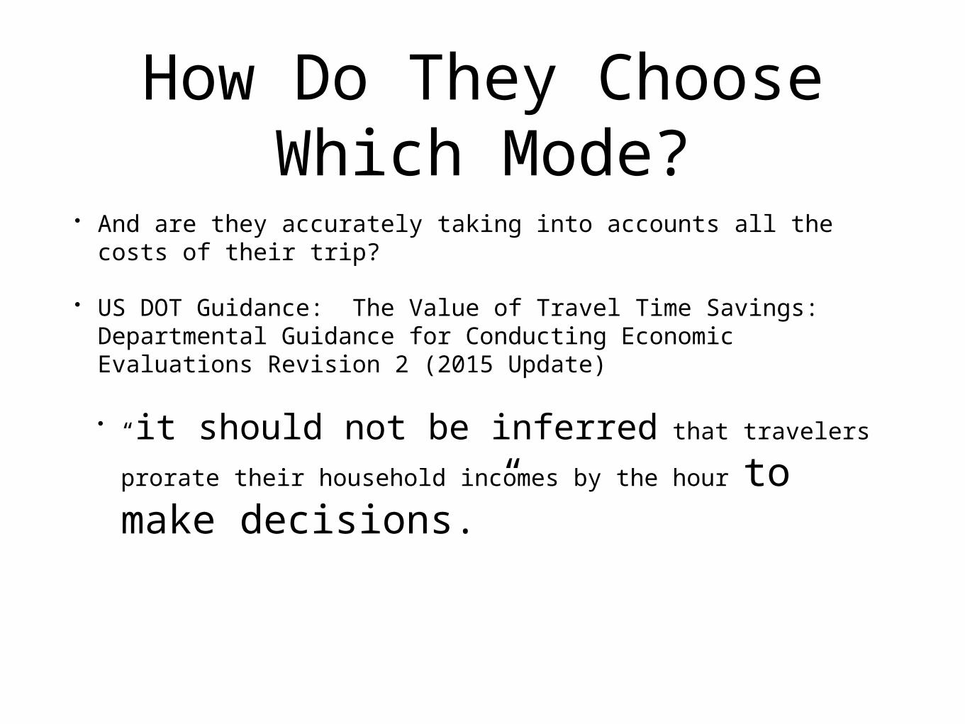
How Do They Choose Which Mode?
• And are they accurately taking into accounts all the costs of their trip?
• US DOT Guidance: The Value of Travel Time Savings: Departmental Guidance for Conducting Economic Evaluations Revision 2 (2015 Update)
• “it should not be inferred that travelers prorate their household incomes by the hour to make decisions.”
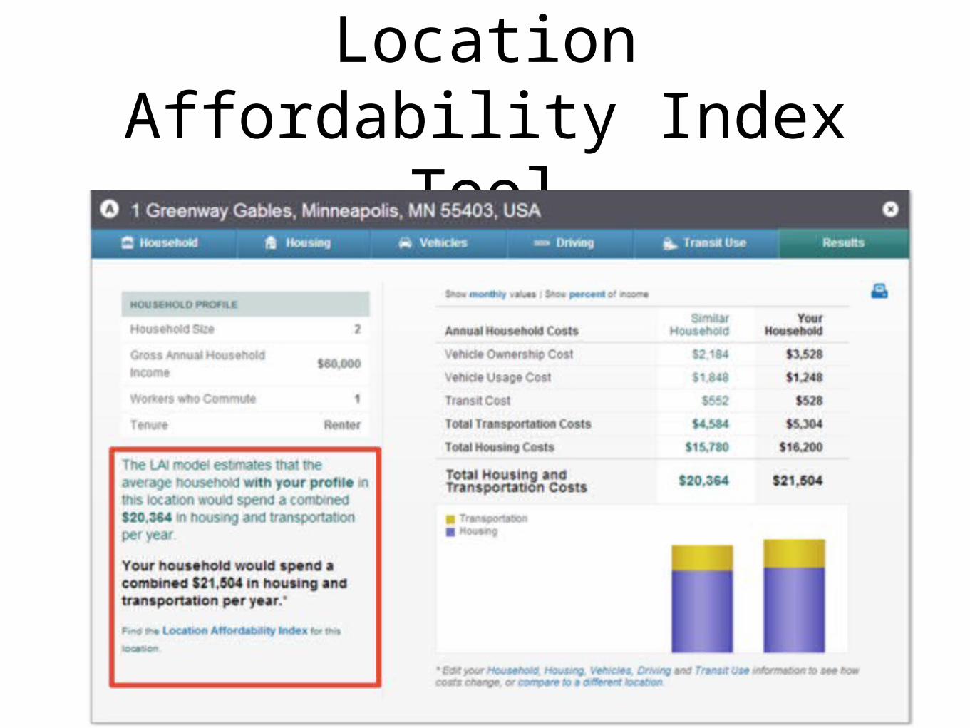
Location Affordability Index Tool
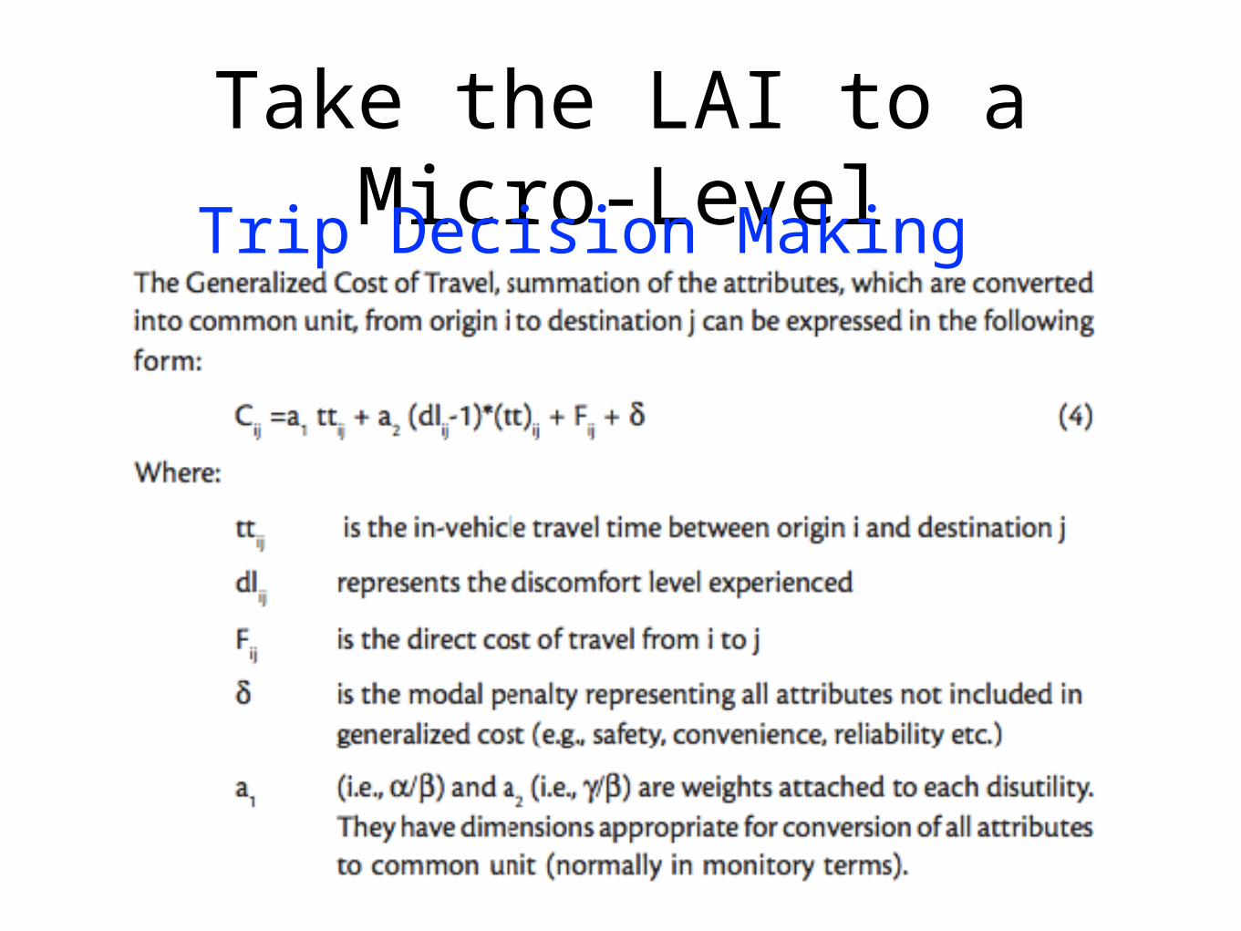
Take the LAI to a Micro-LevelTrip Decision Making
Product Development:Start Small
• Commuter Trips are Often Multi-Segment
• Focus on 1st Piece
• Simple Calculations to Allow Person to See and Understand Cost
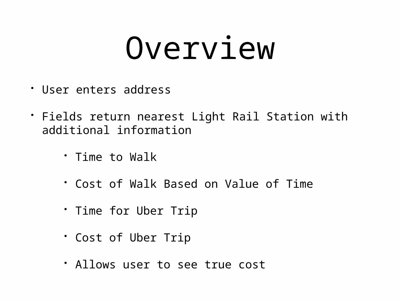
Overview• User enters address
• Fields return nearest Light Rail Station with additional information
• Time to Walk
• Cost of Walk Based on Value of Time
• Time for Uber Trip
• Cost of Uber Trip
• Allows user to see true cost
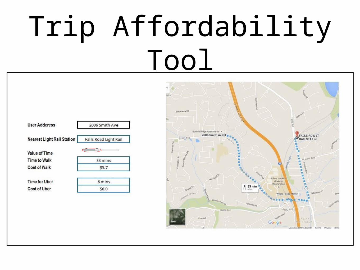
Trip Affordability Tool
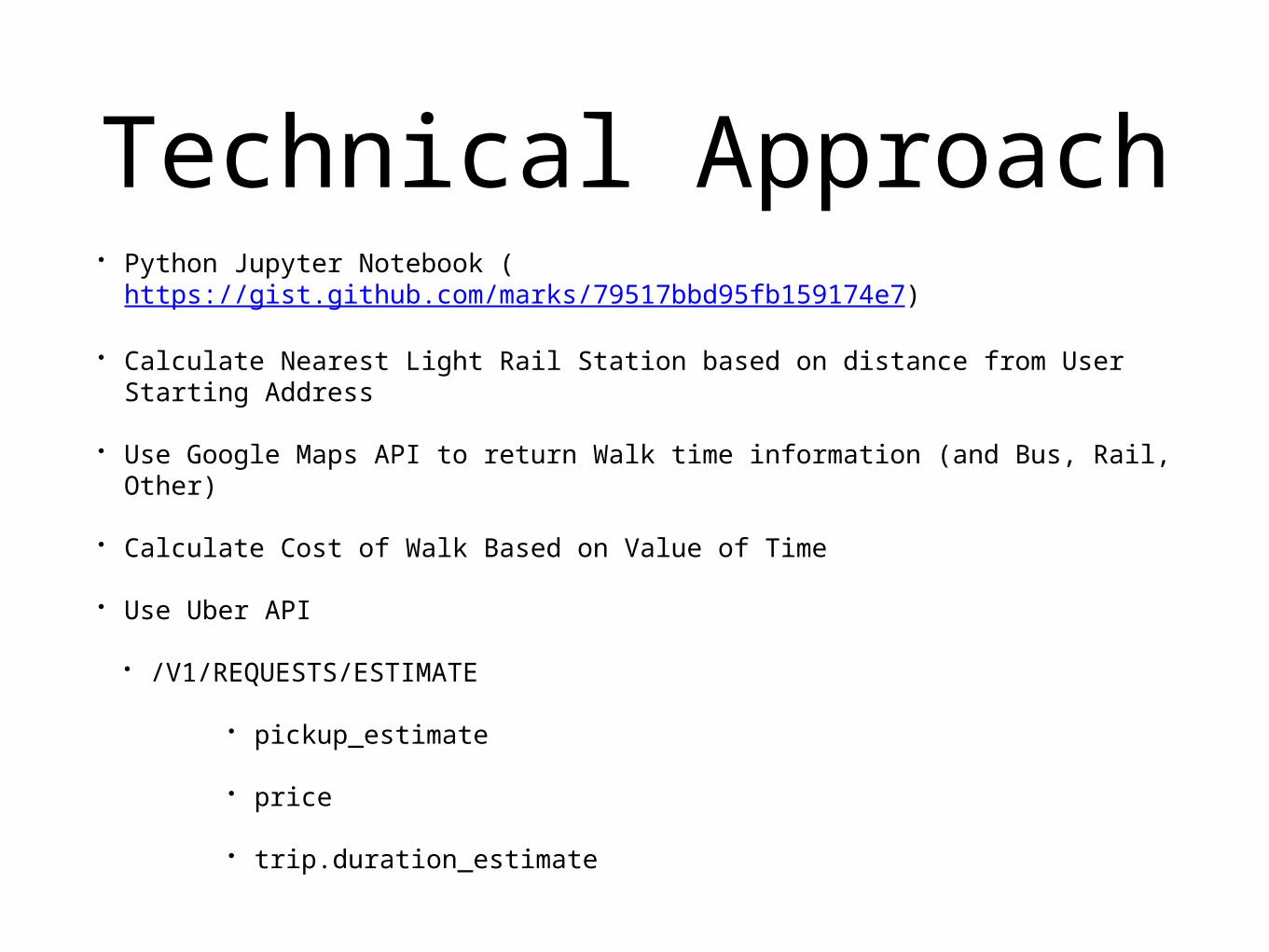
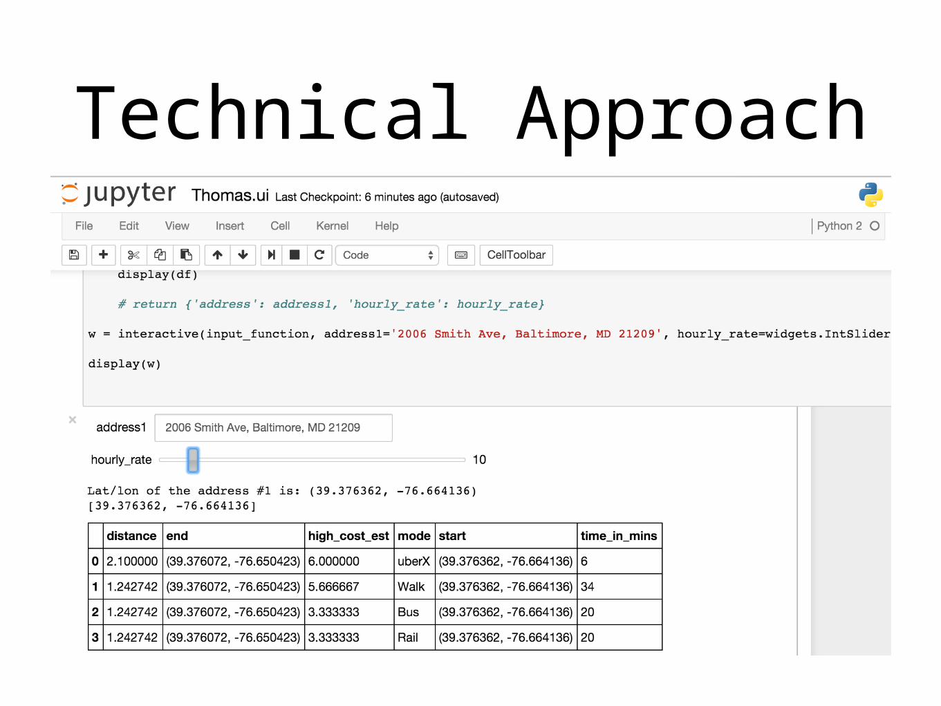
Technical Approach• Python Jupyter Notebook (
https://gist.github.com/marks/79517bbd95fb159174e7)
• Calculate Nearest Light Rail Station based on distance from User Starting Address
• Use Google Maps API to return Walk time information (and Bus, Rail, Other)
• Calculate Cost of Walk Based on Value of Time
• Use Uber API
• /V1/REQUESTS/ESTIMATE
• pickup_estimate
• price
• trip.duration_estimate
Technical Approach
Limitations• Tool is for One Segment of Trip
• Only Monetizes Time
• Certain modes have use-fees (fares, depreciation, subscription, etc.)
• No weighting of values - people have different preferences, which influence decisions
Future Applications
• User Can Optimize Mode Accessibility by Cost
• User Can take Measures to Reduce Mode Trip Cost
• Use Dynamic Location Placement for Pickup/Dropoffs for Pooled Services
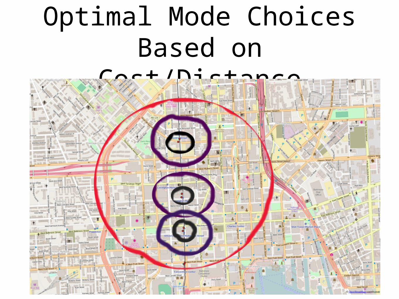
Optimal Mode Choices Based on Cost/Distance
Thank You• Questions
• Tech Support