Embed Size (px)
Citation preview
Introduction
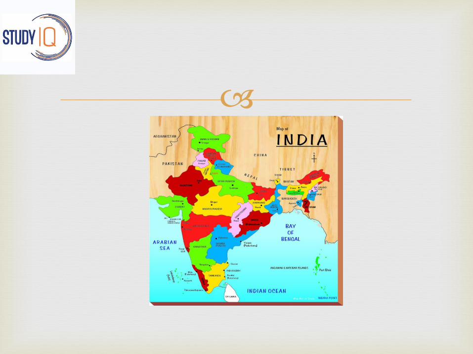
Jammu and Kashmir is the Northern most state of India.
Jammu and Kashmir state is located between the latitudes of 32°17’ N and 37°6’N , and the longitudes of 73°26’E and 80°30’E.
It is bounded by Tibet in the North east , China in the North and Afghanistan in North West.
State total area:- 222,236 sq km
State total population:- 12,541,302 (according to 2011 census)

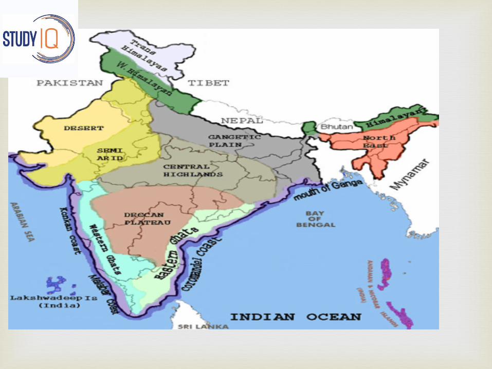
1- Sub-Himalayan Jammu
2- Himalayan Kashmir
3- Trans-Himalayan Ladakh
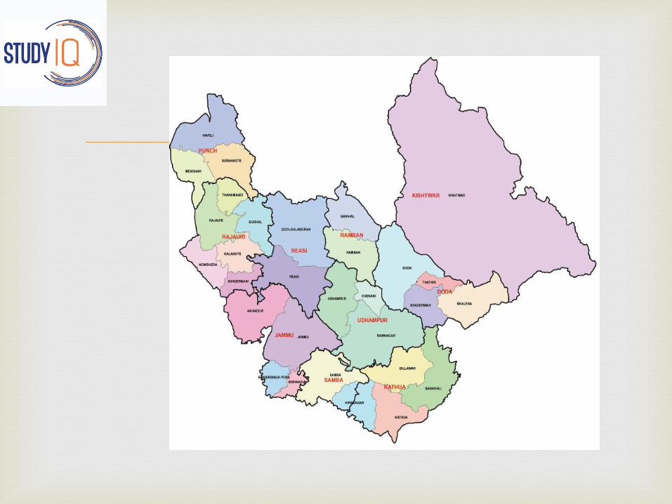
Physical division of the state
Background :
According to the Gulab Nama of Diwan Kirpa Ram , the territory designated as jammu was ruled by rajas of Raghuvanshi Dynasty.
One of its rulers , Agnivarman , had settled near kathua , but his descendants extended the kingdom to Jammu.
Two sons of Raja Agnigarb , Bahu Lochan and JambuLochan founded the two towns of Bahu and Jammu.
Sub Himalayan Jammu(physical features)

Sub Himalyan Jammu can be bifurcated into outer
plains , siwaliks and jammu mountains
Outer plains :
The outer plain of Jammu & Kashmir are a part of Great Plains of India.
It extends from kathua in the south , through Hiranagr , Bhishna , Akhnoor , Bhimber upto Mirpurin the west.
Situated in the vicinity of Siwaliks , the outer plain of
jammu division is traversed ny numerous hill torrents , locally known as khadd.
These torrents remain dry over trhe greater parts of the winter and summer seasons and attain enormous size during rains.
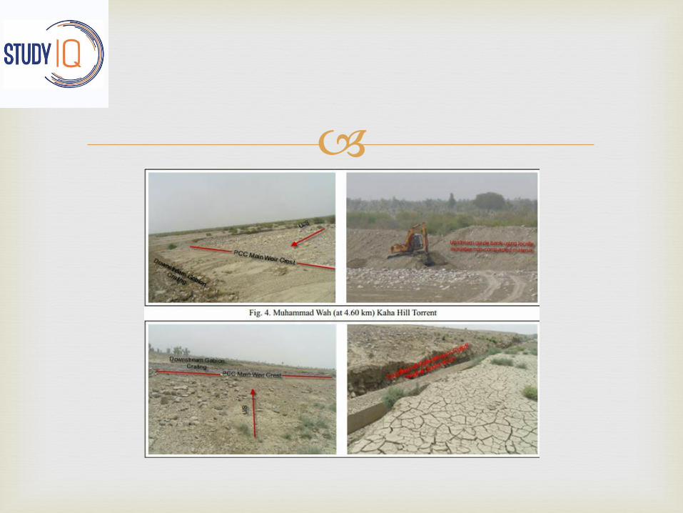
These ravines then achieve the shape of gushing
torrents .
The channel of these torrents are charactrized by clumps of reed growth known as ‘khar’.
Apart from the parched , stony and brown wilderness of the ravines , the jammu plain comprises large expanses of cropland with deep , fertile alluvial soils .

This productive agricultural tract is locally referred
to as Anderwah and bajwat .
Largest hectarage of this arable land is present in the tehsils of kathua , Hiranagar , Bishnah , R.S Pora, Jammu and Akhnoor .
Chief crops raised are rice in Kharif and wheat in Rabi season.
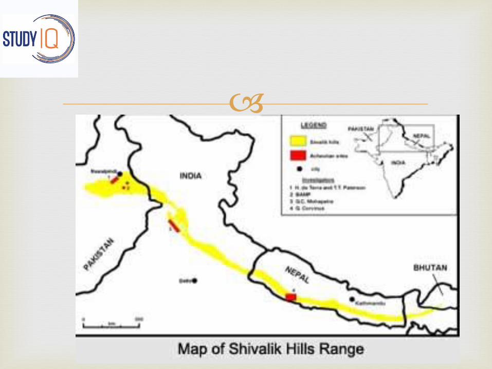
Siwaliks:
The relatively low outermost hills of the Himalayas along its whole length from Indus to Brahmaputra are known as Siwaliks.
The Siwaliks are stretched at a distance of about 200 km between the Ravi and the Jhelum rivers.
The Siwaliks rise from the plains of Punjab , commencing with a gentle slope from jammu , attain about 600 m in altitude and then end abruplty in steep , almost perpendicular escarpments inwards.
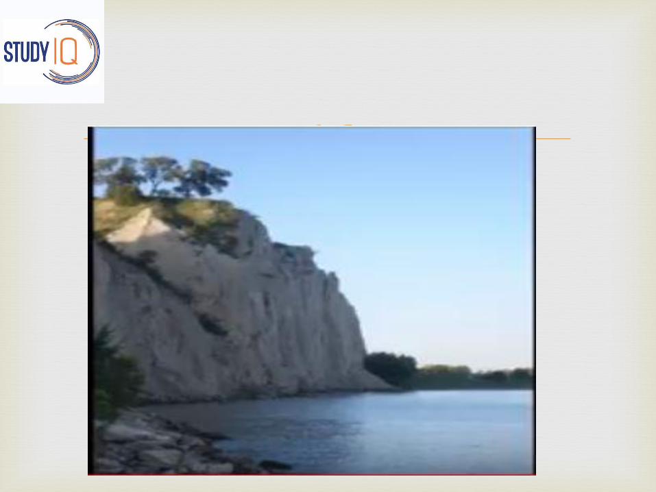
The southern slopes of the Siwaliks are gentle ,
covered with deciduous forests, evergreen bushes and numerous scrubs .
The northern slopes are steep with thin cover of vegetation . In the Siwaliks to the east of Jammu City are situated the Mansar and Surinsar lakes at an altitude of about 600 m above the seal level.
The longitudinal valleys between lesser Himalayas and Siwaliks are known as duns .(udhampur , kotli)
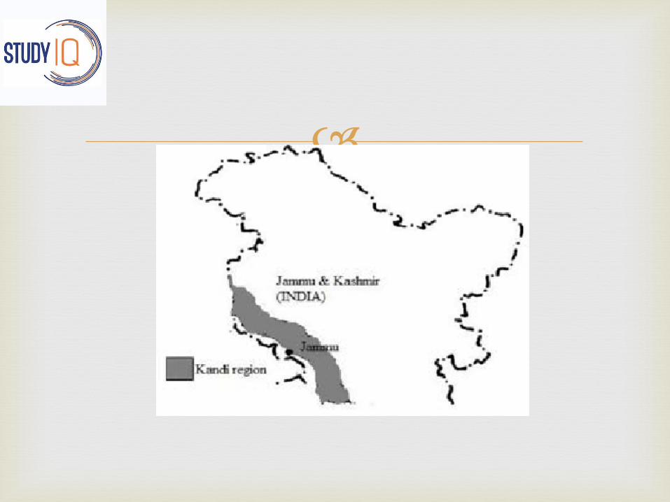
The lower slopes of the Siwaliks upto an altitude of
700m from Ravi to Chenab and beyond to Reasiconstitute the Kandi area.
The belt is characterised by numerous torrents , hilly soils and scarcity of water and agriculture is largely dependent on rains.
Kandi inhabitants include the gujjars who are called Doodhia-gujjars .
Economically , this is the most under developed part of the state.
Jammu city is situated on the southern slope of
Siwaliks.
Jammu city is the winter capital of Jammu and Kashmir.
The city is spread over to both banks of the river Tawi and covers the siwalik hills as well as the Jammu plain
Jammu mounatins or The Pahar:
In the Jammu region the space between the Siwaliksand the Middle Himalaya is occupied by a mountainous tract which is locally known as “PAHAR”.
They extend from the river Ravi to Jehlum.
In the south east the range has a width of 65km which decreases to 16 km or more in the west.
It passes through Malothi , Mahadev , Chenani ,
Kud, Batote , Gool Gulab Garh , Rajouri , poonch.
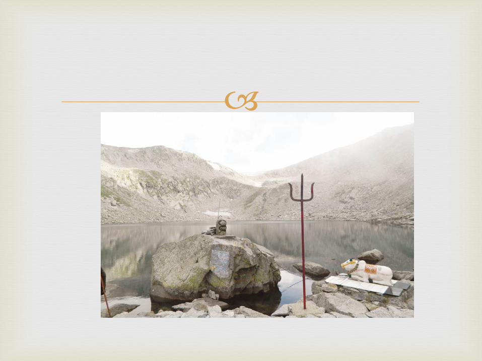
Kali Kundi glacier is also found here .
In the mountain rim is situated a lakelet called kaplash kund.
Every alternate year it becomes the destination of Wasiqi nag Yatra which starts from Baderwah.
The south eastern parts of Jammu Mountains along
the border with chamba district of Himachal Pradesh , are inhabited by a Hindu pastoral community called the “Gaddis”.
The Gaddis are concentrated in the eastern part of the Pahar region , while the remaining stretch , in the west is inhabited by the Muslim gujjars and Bakerwals.

Both Baderwah and kishtiwar share some of the
features of kashmir like climate and vegetaion .
Outside Kashmir , Kishtewar is the only place where safforn is cultivated.
Kud and Batote are two hill stations in the PaharRegion.
Patni top , at an elevation of 1950 m , is the highest point over which the srinagar-jammu national highway passes.
At Tanger , a branch ridge runs South West .This
branch is known as Trikuta Mountain.
The sacred cave of Vaishno Devi is situated on the peak of Trikuta Mountain .
In the Pahar reion , are situated a number of scenic spots .
The valley of surankote , in poonch district is known for its 20m high waterfall ‘Noorichamb’.
The Jammu mountains stretch beyond from poonch
to Uri.
The main rivers of Jammu region are Chenab and
Ravi . The Manawar Tawi and the (Jammu)Tawi are the tributary streams of the chenab.
Drainage

Two streams , the Chandra and the Bhaga , rise from
the snowfields of the Lahaul district of Himachal Pradesh.
These two streams join together near Tandi .
The combined river after flowing through pangivalley , enters Jammu and Kashmir at its south eastern corner , in Kishtiwar district.
The Ancient name of the river as mentioned in Rigveda is Askini .
Chenab

The Mahabharta and Nilamat purana of Kashmir refer to
it as Chanderbhaga .Ptolemy called it as Sandabhaga.
The river came to be called as Chenab during medieval period.
The first bend in the river is observed at Bhanderkotewhere it is joined by Marwah stream in the North.
The river cascades down , in steps , with a loud roar through a height of 200m . This large drop in elevation has been utilized for the generation of 390 MW of electricity in the Dul-Hasti project.

Baglihar power project has also been also
constructed on this river ,with the power generation capacity of 450 MW.
After passing through siwaliks the river enters the plain stage at Akhnoor.
It rises in chamba district of Himachal Pradesh and
flows through Brahmpur , Dalhousie , Basohli , and Madhopur.
A road bridge and a railway bridge over the Ravi connect j&k through Madhopur corridoe with the rest of the country.
Here you will find Ranjit Sagar dam , with the power generating capacity of 600 MW.
Ravi

It originates fron the southern slopes of the Rattan
range in the Rajauri district.
It passes through Thana Mandi , Rajauri and nowshera and finally joins the Chenab near Manawar town , hence the name.
Manawar Tawi.
Tawi rises in the glaciated alpine meadow of Seoj.
A fraction of the catchment in the upper part is snowbound by virtue of which the Tawi maintains a certain volume of water through out the year.
It is joined by nine tributaries .
One important tributary which joins it on the right bank is the Jajjar Nala . A famous tourist spot JajjarKotli has been constructed here.
Jammu Tawi

The Chenani Hydroelectric Project , produces 18 MW
of electricity is constructed here.
Tawi water irrigates the cropland in the district of jammu and Udhampur .
Tawi fulfills the water requirements of Jammu city .It joins chenab in Pakistan


![[1280x768] Kashmir Samasya](https://img.pdfslide.tips/doc/110x75/551ea825497959cf398b4ad7/1280x768-kashmir-samasya.jpg)