Embed Size (px)
Citation preview
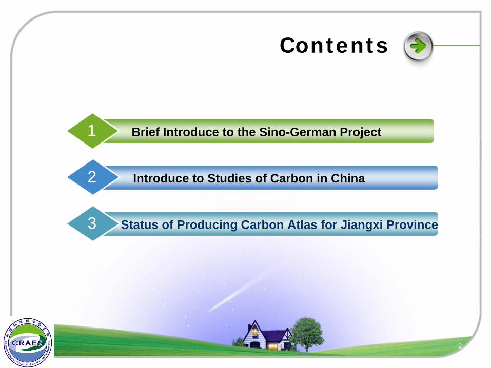
Contents
Brief Introduce to the Sino-German Project1
Introduce to Studies of Carbon in China2
Status of Producing Carbon Atlas for Jiangxi Province3
2
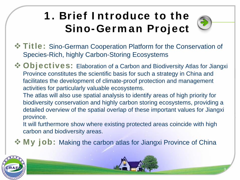
1. Brief Introduce to the Sino-German Project
Title: Sino-German Cooperation Platform for the Conservation of Species-Rich, highly Carbon-Storing Ecosystems
Objectives: Elaboration of a Carbon and Biodiversity Atlas for Jiangxi Province constitutes the scientific basis for such a strategy in China and facilitates the development of climate-proof protection and management activities for particularly valuable ecosystems.The atlas will also use spatial analysis to identify areas of high priority for biodiversity conservation and highly carbon storing ecosystems, providing a detailed overview of the spatial overlap of these important values for Jiangxi province.It will furthermore show where existing protected areas coincide with high carbon and biodiversity areas.
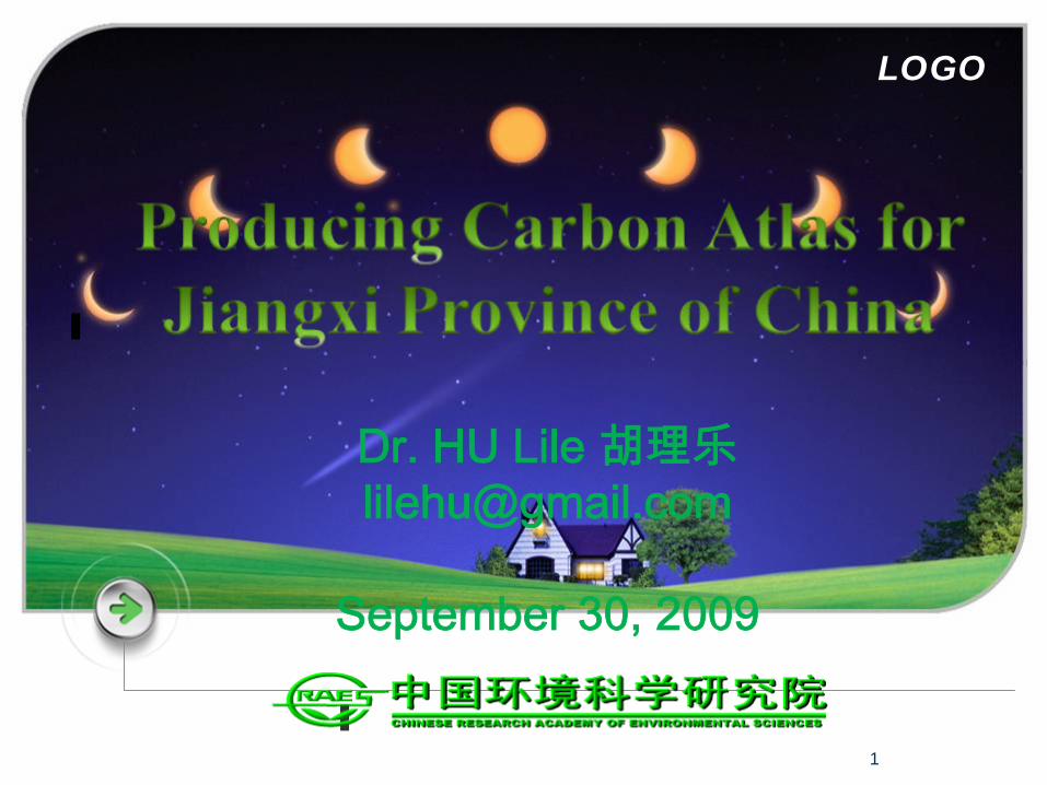
My job: Making the carbon atlas for Jiangxi Province of China
3
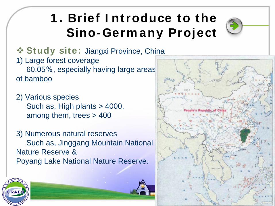
1. Brief Introduce to the Sino-Germany Project
Study site: Jiangxi Province, China1) Large forest coverage
60.05%, especially having large areas of bamboo
2) Various species Such as, High plants > 4000, among them, trees > 400
3) Numerous natural reserves Such as, Jinggang Mountain National
Nature Reserve &Poyang Lake National Nature Reserve.
4
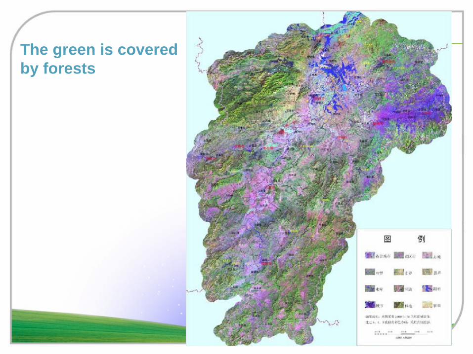
The green is coveredby forests
5
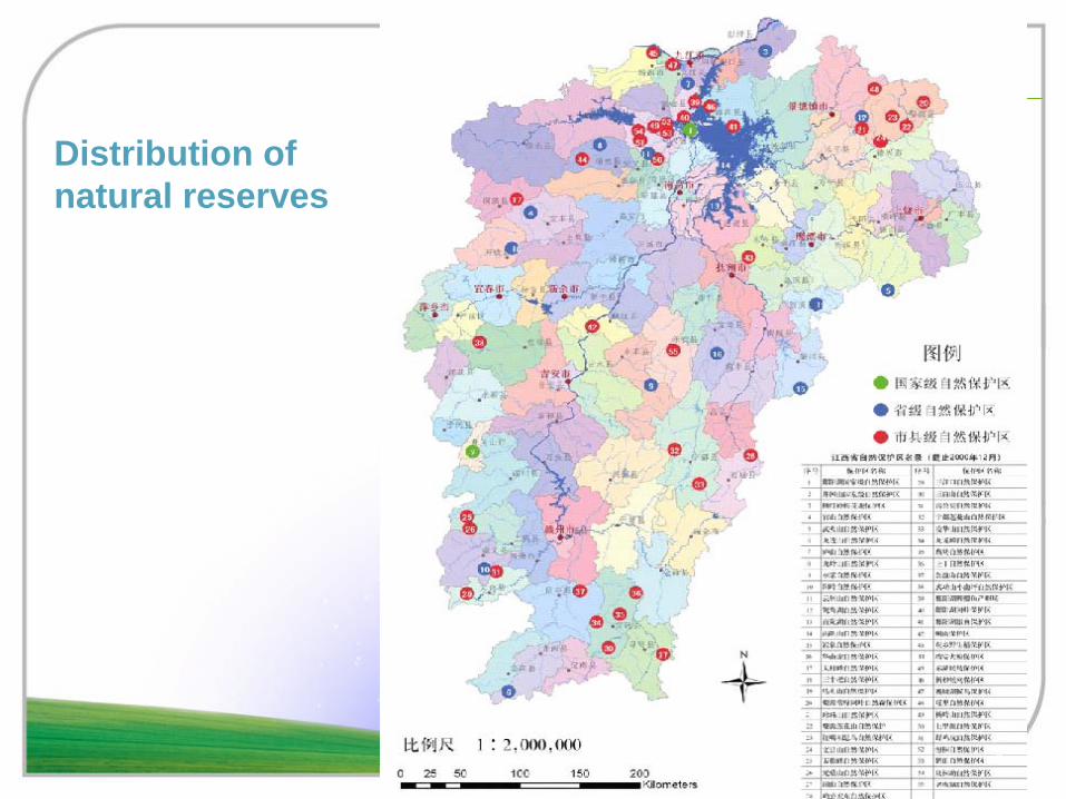
Distribution of natural reserves
6
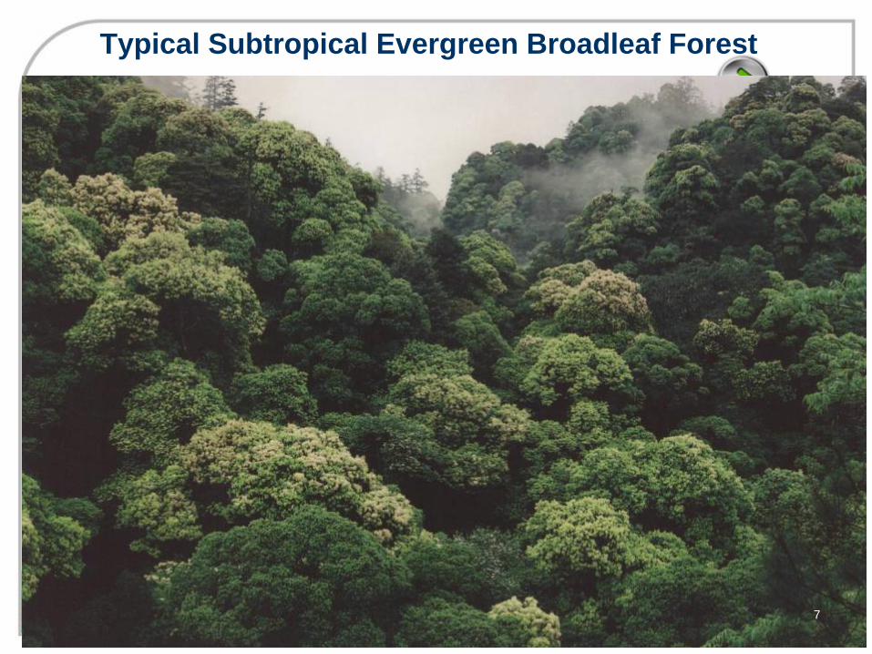
Typical Subtropical Evergreen Broadleaf Forest
7
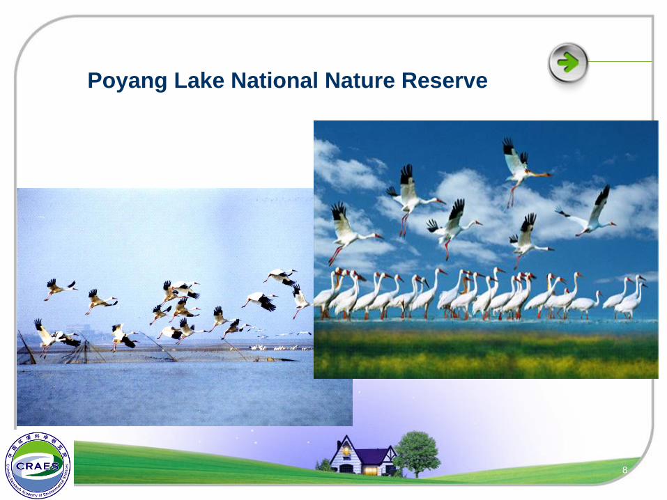
Poyang Lake National Nature Reserve
8
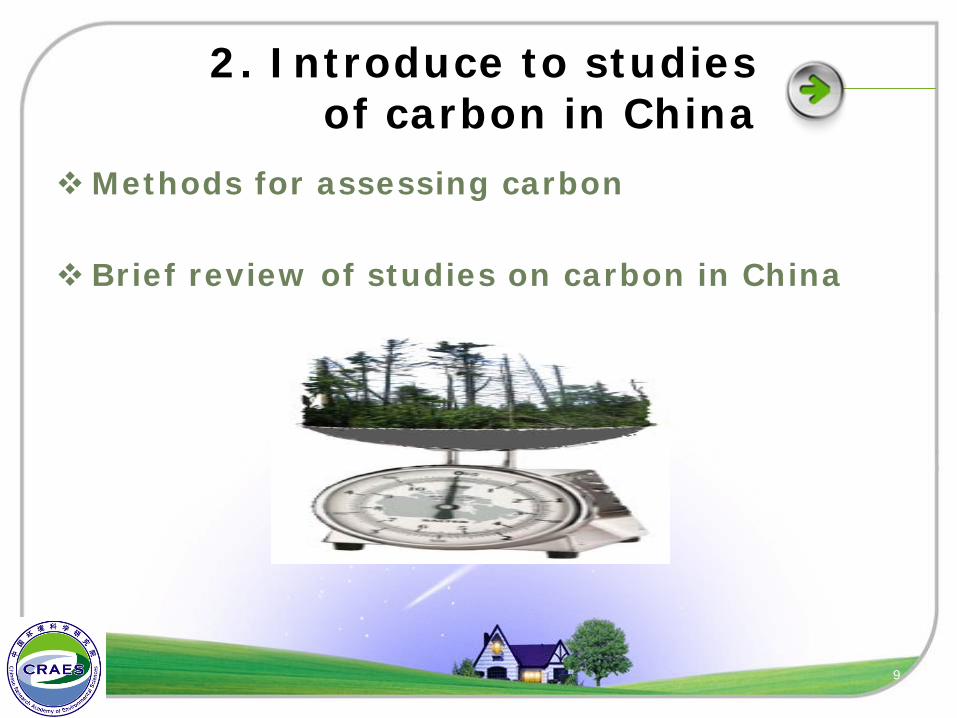
2. Introduce to studies of carbon in China
Methods for assessing carbon
Brief review of studies on carbon in China
9
10
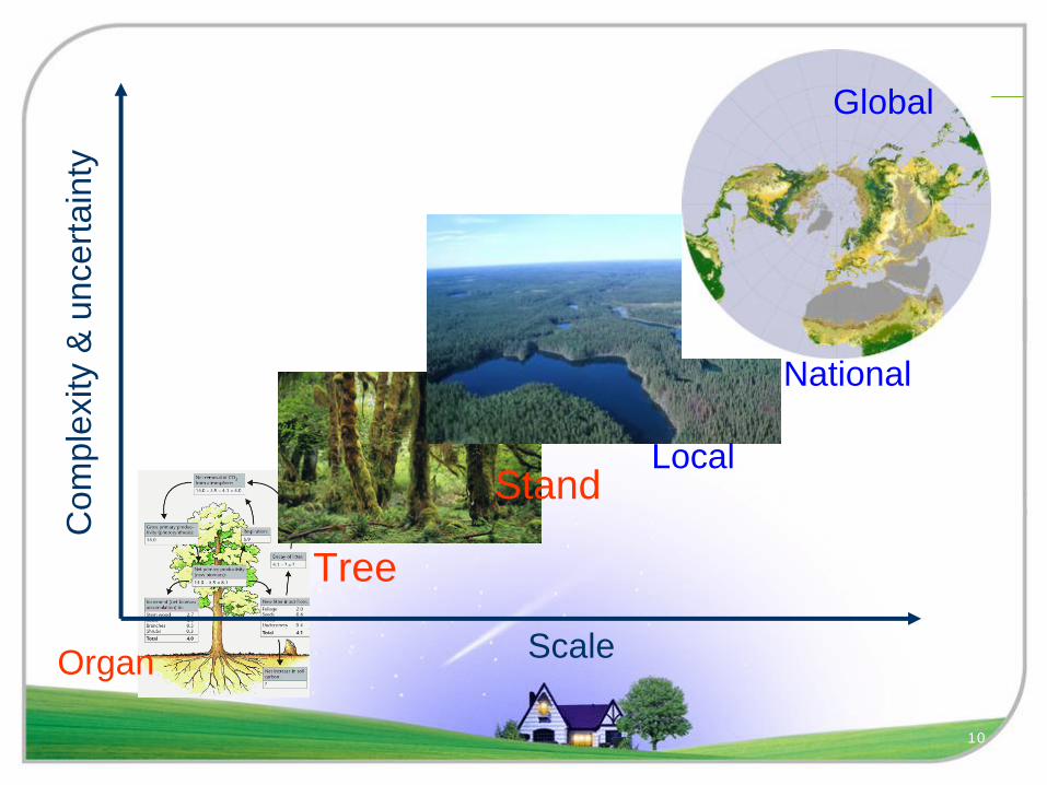
Com
plex
ity &
unc
erta
inty
Organ Scale
Tree
StandLocal
National
Global
11
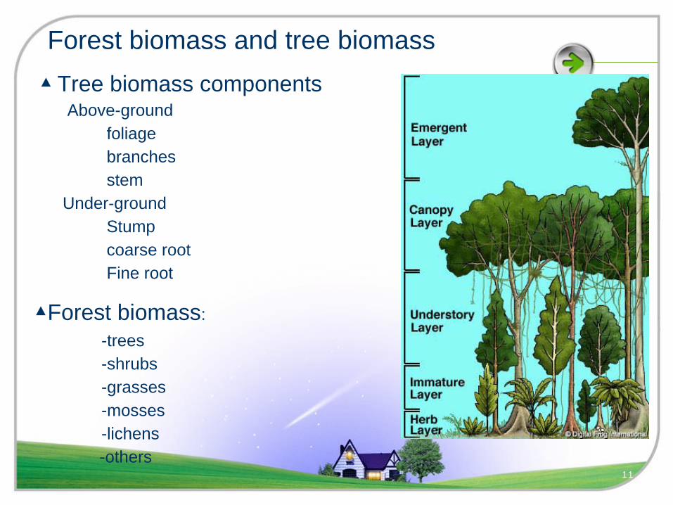
▲Forest biomass: -trees -shrubs -grasses -mosses -lichens-others
▲
Tree biomass componentsAbove-ground
foliagebranchesstem
Under-groundStumpcoarse rootFine root
Forest biomass and tree biomass

12
Biomass estimation on tree level
Difficulty &
uncertainty
Components Measurement methods
Branch and foliage 1) direct weighing 2) average branch 3) regression based on sample branches
Stem direct weighing
Stump
Roots
large root (>20 mm) direct weighing
coarse root (5-20 mm)
big fine root (2-5 mm) Systematical sampling by soil corer small fine root (<2 mm)
Tree biomass components and measurements
13
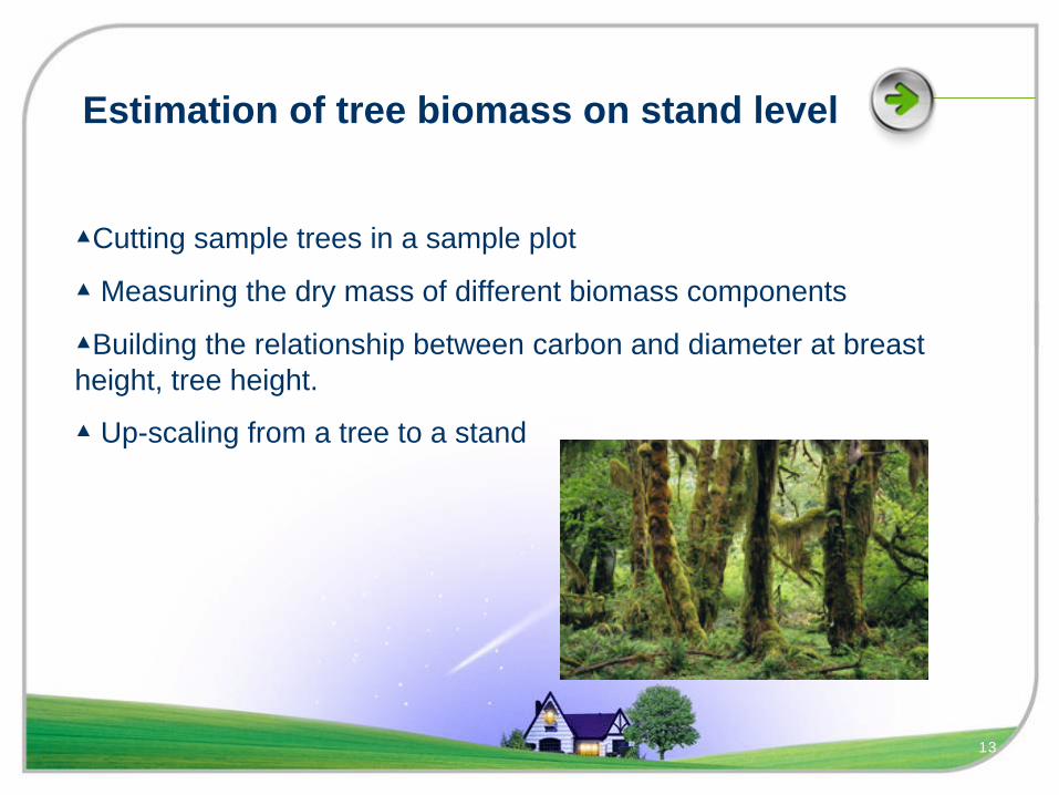
Estimation of tree biomass on stand level
▲Cutting sample trees in a sample plot
▲
Measuring the dry mass of different biomass components
▲Building the relationship between carbon and diameter at breast height, tree height.
▲
Up-scaling from a tree to a stand
14
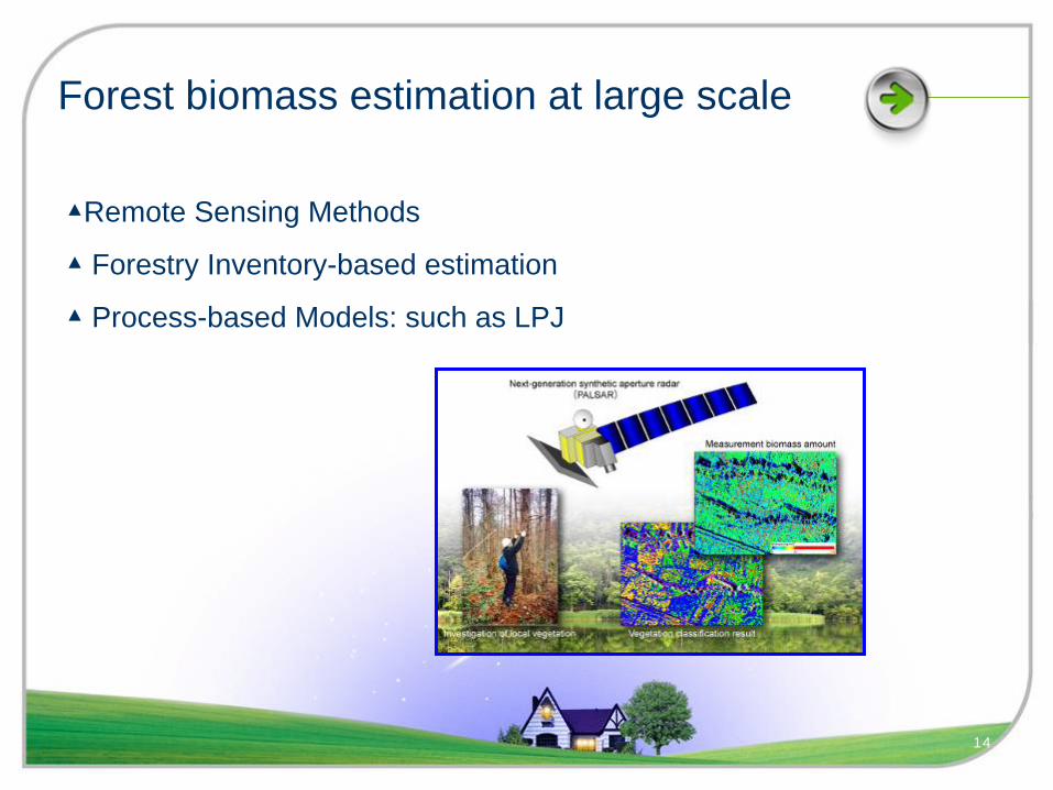
Forest biomass estimation at large scale
▲Remote Sensing Methods
▲
Forestry Inventory-based estimation
▲
Process-based Models: such as LPJ
2. Introduce to studies of carbon in China
Methods for assessing carbon
Brief review of studies on carbon in ChinaStudies among different zones in ChinaStudies among different carbon banks
15
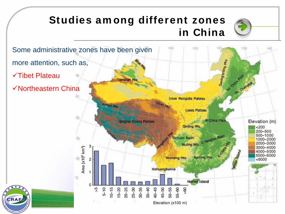
Studies among different zones in China
Some administrative zones have been given
more attention, such as,
Tibet Plateau
Northeastern China
16
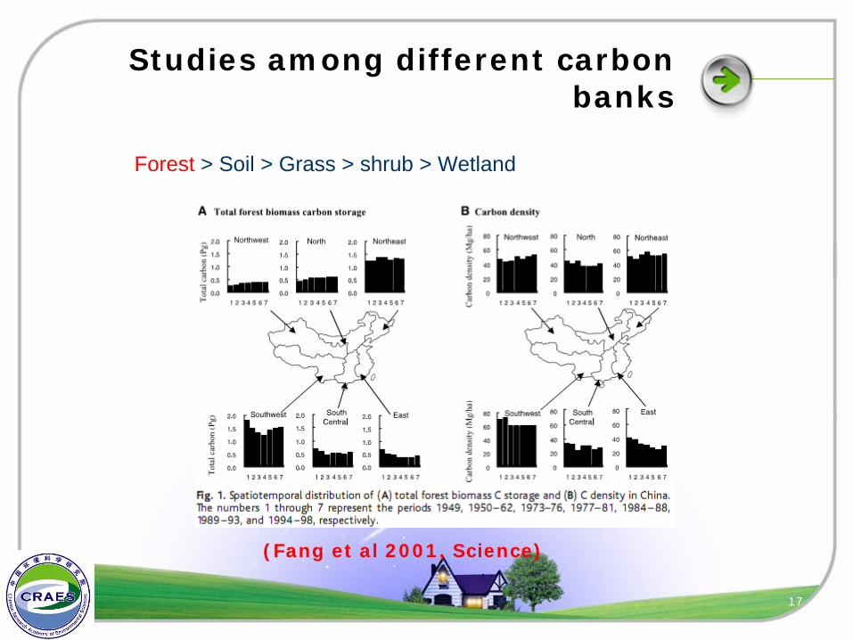
Studies among different carbon banks
Forest > Soil > Grass > shrub > Wetland
(Fang et al 2001, Science)
17
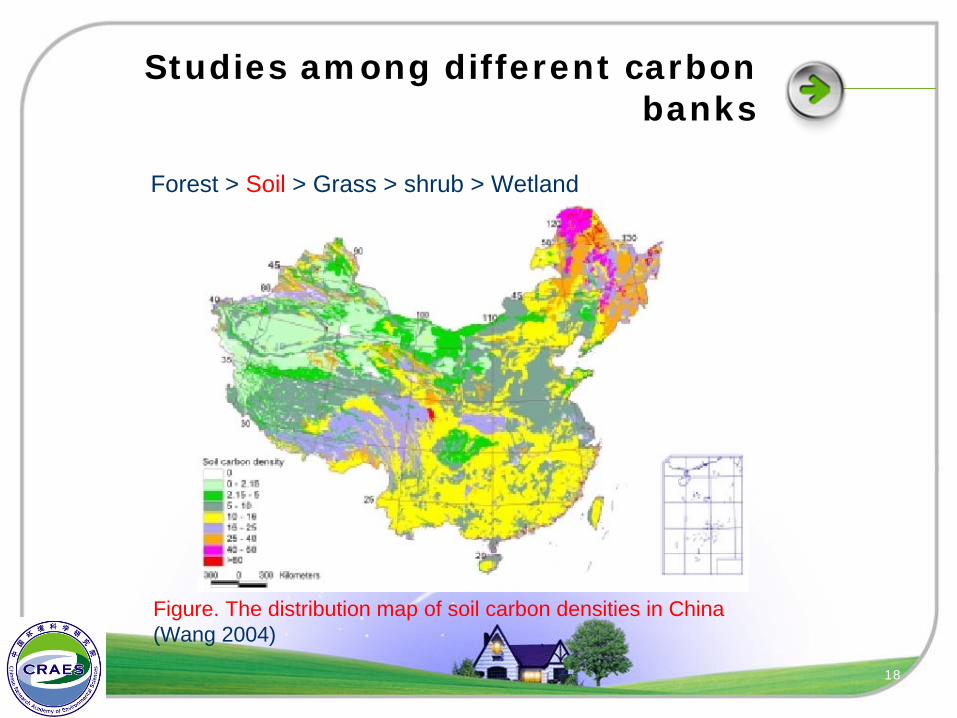
Studies among different carbon banks
Forest > Soil > Grass > shrub > Wetland
Figure. The distribution map of soil carbon densities in China (Wang 2004)
18
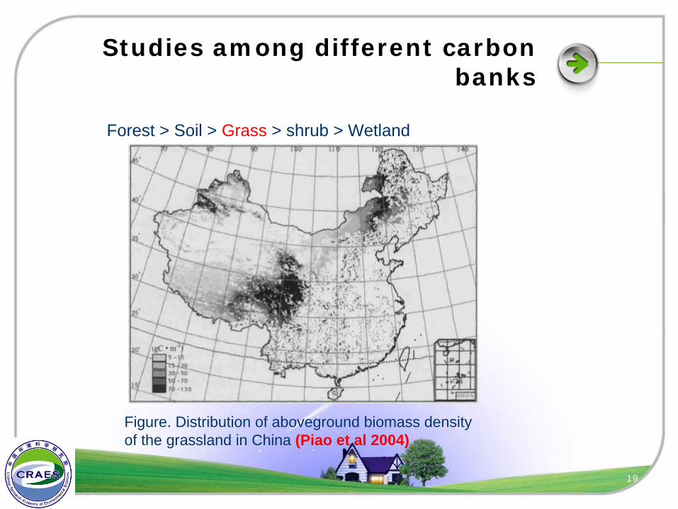
Studies among different carbon banks
Forest > Soil > Grass > shrub > Wetland
Figure. Distribution of aboveground biomass density of the grassland in China (Piao et al 2004)
19
Studies among different carbon banks
Forest > Soil > Grass > shrub > Wetland
Although shrubs occupy larger area than trees in china, shrubs have
not been carried on national level inventory. So carbon in shrubs is less
known than the former three banks.
I have not found any papers about the carbon of wetland in China,
which was thought to be a large carbon bank.
20
3. Status of Producing Carbon Atlas for Jiangxi Province
Selecting Methods
Collecting Data
21
Selecting Methods
The carbon map will include 4 parts: forest, grass, shrub, and soil
As for forest carbon map, I will use the inventory-based method
As for grassland and shrubs, I will use remote sensing methods
I will make the soil carbon map by using the map of soil types for
Jiangxi province and the national soil survey
I have no idea about how to assess the carbon in wetland
22
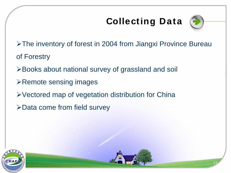
Collecting Data
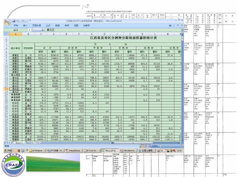
The inventory of forest in 2004 from Jiangxi Province Bureau
of Forestry
Books about national survey of grassland and soil
Remote sensing images
Vectored map of vegetation distribution for China
Data come from field survey
23
Collecting Data
24
Collecting Data
The books about national survey for grassland and soilDepartment of Animal Husbandry and Veterinary(中华人民共和国农
业部畜牧兽医司) , Institute of Grassland of the Chinese Academy of Agricultural Sciences(中国农业科学院草原研究所) &Commission for Integrated Survey of Natural Resources of the Chinese Academy ofSciences(中国科学院自然资源综合考察委员会). 1994. Data on grassland resources of China. Beijing: China Agriculture Science and Technology Press. (in Chinese)
National Soil Survey Office. Chinese Soils. Beijing: China Agriculture Press, 1998. 1-1252. (in Chinese)
National Soil Survey Office. Chinese Soil Cenus Records, Volumes1-6. Beijing: China Agriculture Press, 1995. (in Chinese)
25
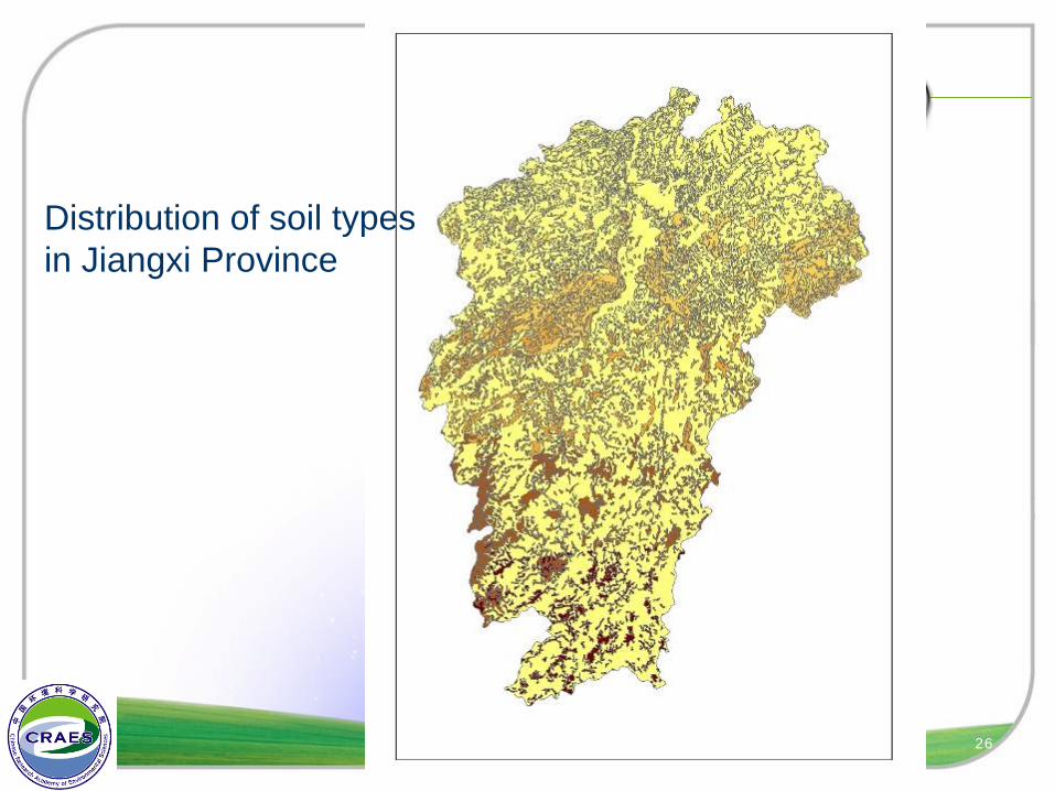
Collecting Data
Distribution of soil typesin Jiangxi Province
26
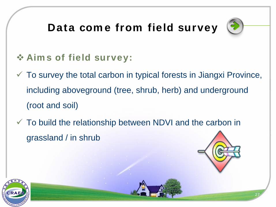
Data come from field survey
Aims of field survey:
To survey the total carbon in typical forests in Jiangxi Province,
including aboveground (tree, shrub, herb) and underground
(root and soil)
To build the relationship between NDVI and the carbon in
grassland / in shrub
27
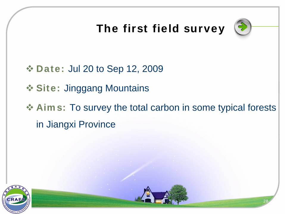
The first field survey
Date: Jul 20 to Sep 12, 2009
Site: Jinggang Mountains
Aims: To survey the total carbon in some typical forests
in Jiangxi Province
28
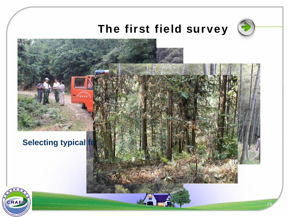
The first field survey
Selecting typical forests
29
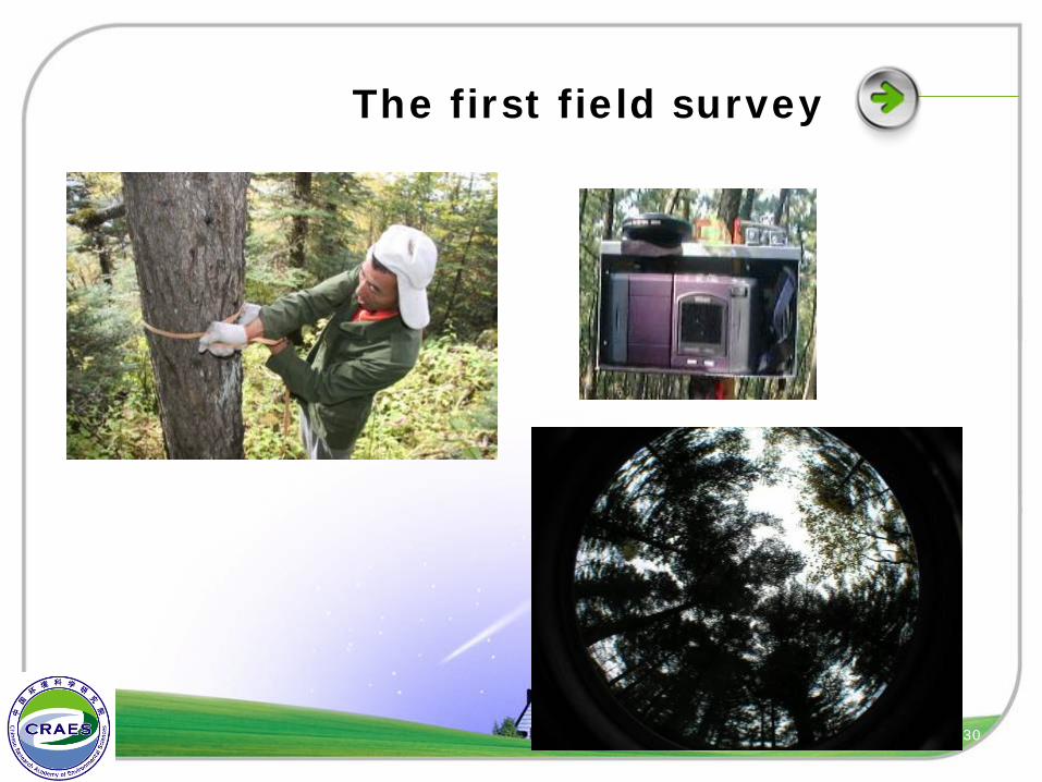
The first field survey
30
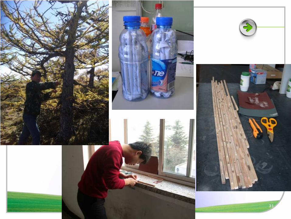
31
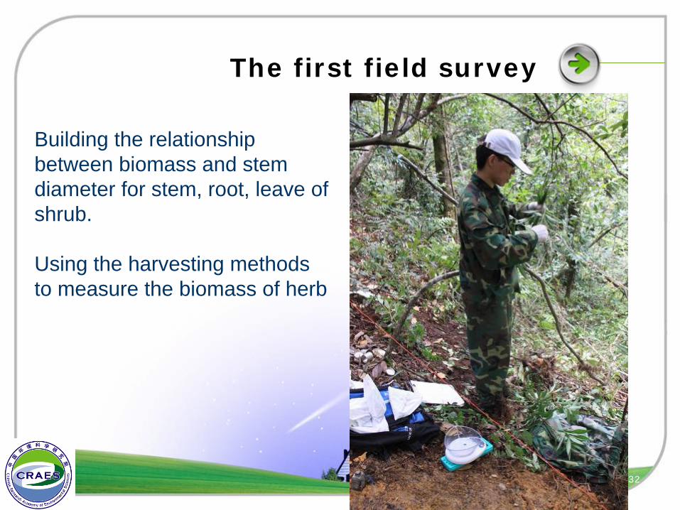
The first field survey
Building the relationship between biomass and stem diameter for stem, root, leave of shrub.
Using the harvesting methods to measure the biomass of herb
32
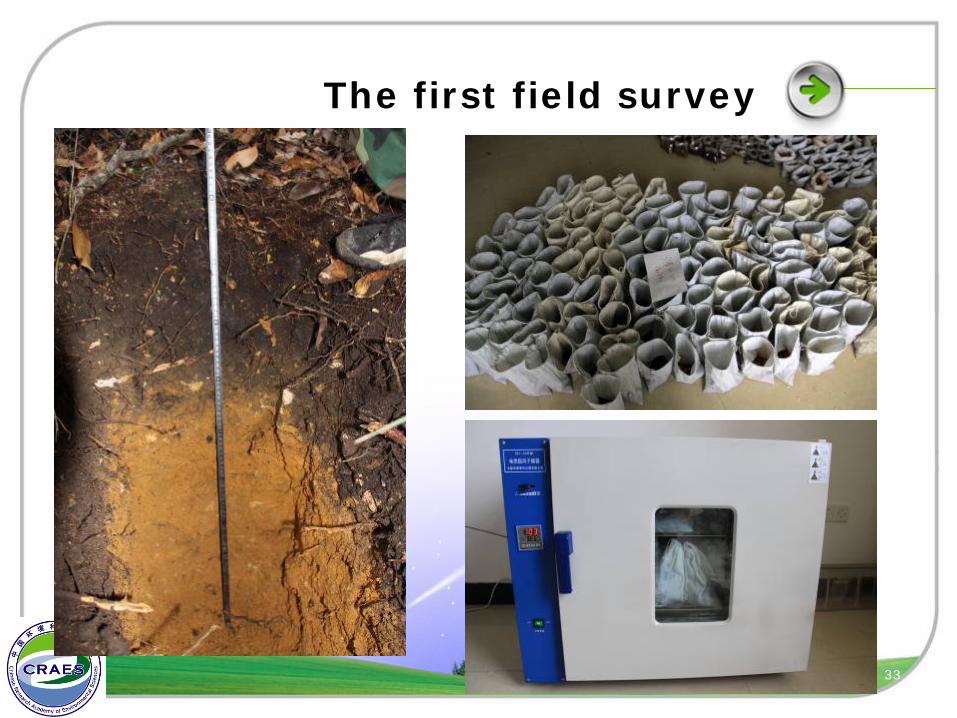
The first field survey
33

34
for your attention

![KRONUS - CATALOG NOU 2019 II [190624LEI]-opt · material corm-vanadiu otel carbon crom vanadiu crom vanadiu crom vanadiu otel carbon otel carbon crom vanadiu otel carbon otel carbon](https://img.pdfslide.tips/doc/110x75/606c72b1deb6eb179d1b2244/kronus-catalog-nou-2019-ii-190624lei-material-corm-vanadiu-otel-carbon-crom.jpg)