Embed Size (px)
Citation preview

GIS and Global GIS and Global TechnologiesTechnologies
Lecture 1Lecture 1
Mrs. BurgessMrs. Burgess

Thinking SpatiallyThinking Spatially
• Geography is a spatial science• What does this mean?
• Spatial Thinking involves some of the following:– Translating from one dimension to another (ie, creating a 2-D
map from the real 3-D world)– Understanding and following directional information (North,
South, East and West)– Realizing spatial connections between things (ie, downhill ski
resorts and mountains, less population in desert areas etc.)– Understanding that nations are divided into regions that may be
geographic, ethnic, income or political (ie, ethnic neighborhoods, school districts, zip codes)

Global Issues and their impactGlobal Issues and their impact

Global Warming - impactsGlobal Warming - impacts
• What will happen as the polar ice caps melt?
• What are the effects of a gradual rise in the earth’s temperature?
• When the ocean’s currents start changing?
• How can we predict these events?

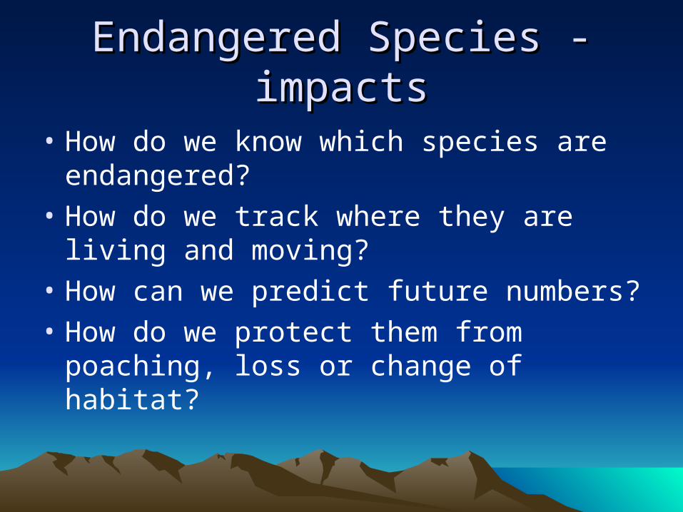
Endangered Species - impactsEndangered Species - impacts
• How do we know which species are endangered?
• How do we track where they are living and moving?
• How can we predict future numbers?
• How do we protect them from poaching, loss or change of habitat?

Panda Habitat Panda Habitat (World Wildlife Fund)(World Wildlife Fund)

Google Earth Elephant TrackingGoogle Earth Elephant Tracking
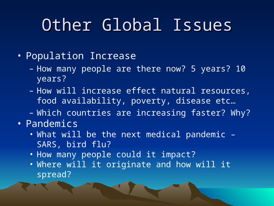
Other Global IssuesOther Global Issues
• Population Increase– How many people are there now? 5 years? 10 years?– How will increase effect natural resources, food
availability, poverty, disease etc…– Which countries are increasing faster? Why?
• Pandemics • What will be the next medical pandemic – SARS, bird
flu?• How many people could it impact?• Where will it originate and how will it spread?
Local Issues and their Local Issues and their ImpactImpact

San Diego WildfiresSan Diego Wildfires
• How were people notified about fires in their neighborhood?
• How was the general public kept informed?
• How many people were evacuated?
• How did they know where to go or how to get there?

Crime and its impactCrime and its impact
• How can we determine which neighborhoods have higher crime rates?
• Is their a link between crime and socioeconomic conditions?
• Are their differences between types of crimes committed and location (domestic violence, drugs, theft)
• What kind of actions could be taken with this knowledge?
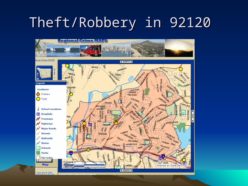
Theft/Robbery in 92120 Theft/Robbery in 92120

Other Local Issues?Other Local Issues?• How can we frame spatial questions?
• Can we create actions to some of our findings?
• How can we convey our findings (display, report etc…)?

Spatial thinking in the business Spatial thinking in the business worldworld
• How do businesses (ie, Starbucks) decide to where to open shop?
• What factors go into determining the ultimate location for a new business?
• Why is it important to understanding the surrounding area (geography) before making decisions?
Objectives of this classObjectives of this class
• Gain an understanding of how GIS is used in various disciplines
• Practical use of GIS through ArcGIS (industry standard software)
• Use GPS handheld units (Global Positioning Satellite)
• Guest lectures from various industry specialists that use GIS in the workplace
• Independent study – propose, research, write and present report.