Embed Size (px)
Citation preview
The Historical SettingThe Historical Setting
Physical oceanographyInstructor: Dr. Cheng-Chien Liu
Department of Earth Sciences
National Cheng Kung University
Last updated: 29 September 2003
Chapter 2Chapter 2
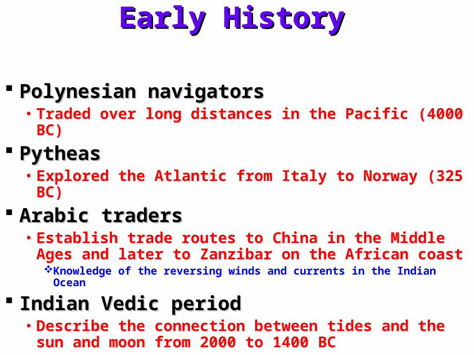
Early HistoryEarly History
Polynesian navigatorsPolynesian navigators• Traded over long distances in the Pacific (4000 BC)
Pytheas Pytheas • Explored the Atlantic from Italy to Norway (325 BC)
Arabic tradersArabic traders• Establish trade routes to China in the Middle Ages
and later to Zanzibar on the African coastKnowledge of the reversing winds and currents in the Indian Ocean
Indian Vedic periodIndian Vedic period• Describe the connection between tides and the sun
and moon from 2000 to 1400 BC
Early History (cont.)Early History (cont.)
Those oceanographers who tend to Those oceanographers who tend to accept as true only that which has been accept as true only that which has been measured by instruments, have much measured by instruments, have much to learn from those who earned their to learn from those who earned their living on the ocean.living on the ocean.
Early European ExplorersEarly European Explorers
Explorers Explorers • Bartholomew Dias (1487–1488)• Christopher Columbus (1492–1494)• Vasco da Gama (1497–1499)• Ferdinand Magellan (1519–1522)
Laid foundation for global trade routesLaid foundation for global trade routes• Stretching from Spain to the Philippines (16th century)• Based on a good working knowledge of trade winds,
the westerlies, and western boundary currents in the Atlantic and Pacific
Scientific voyages of discoveryScientific voyages of discovery
ScientistsScientists• James Cook (1728–1779)
on the Endeavour, Resolution, and Adventure
• Charles Darwin (1809–1882)on the Beagle
• Sir James Clark Ross and Sir John RossSurveyed the Arctic and Antarctic regions
• Edward Forbes (1815–1854)Studied the vertical distribution of life in the oceans
• Edmond HalleyCharted the trade winds and monsoons
• Benjamin FranklinCharted the Gulf Stream
Era of satelliteEra of satellite
Slow ships of the 19Slow ships of the 19thth and 20 and 20thth centuries centuries gave way to satellites toward the end of gave way to satellites toward the end of the 20the 20thth century. Satellites now observe century. Satellites now observe the oceans, air, and land. Their data, the oceans, air, and land. Their data, when fed into numerical models allows when fed into numerical models allows the study of earth as a system. For the the study of earth as a system. For the first time, we can study how biological, first time, we can study how biological, chemical, and physical systems interact chemical, and physical systems interact to influence our environment. to influence our environment.
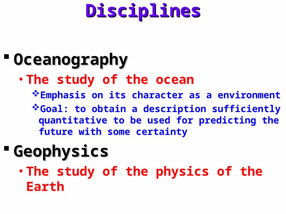
DisciplinesDisciplines
OceanographyOceanography• The study of the ocean
Emphasis on its character as a environmentGoal: to obtain a description sufficiently quantitative to be
used for predicting the future with some certainty
GeophysicsGeophysics• The study of the physics of the Earth
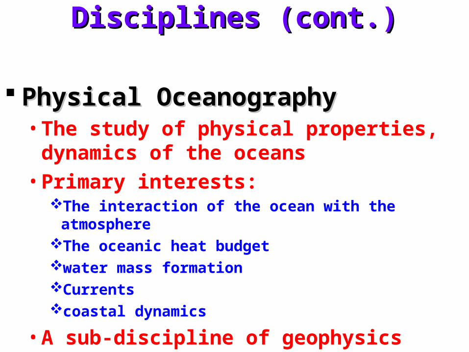
Disciplines (cont.)Disciplines (cont.)
Physical OceanographyPhysical Oceanography• The study of physical properties, dynamics of
the oceans
• Primary interests:The interaction of the ocean with the atmosphereThe oceanic heat budgetwater mass formationCurrentscoastal dynamics
• A sub-discipline of geophysics
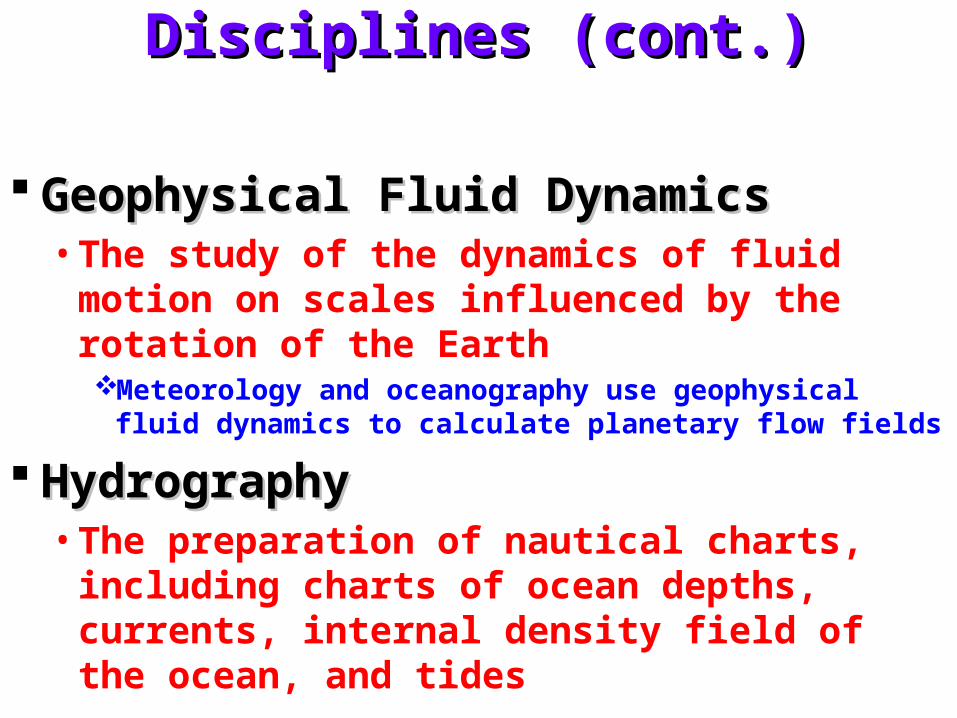
Disciplines (cont.)Disciplines (cont.)
Geophysical Fluid Dynamics Geophysical Fluid Dynamics • The study of the dynamics of fluid motion on
scales influenced by the rotation of the EarthMeteorology and oceanography use geophysical fluid
dynamics to calculate planetary flow fields
HydrographyHydrography• The preparation of nautical charts, including
charts of ocean depths, currents, internal density field of the ocean, and tides
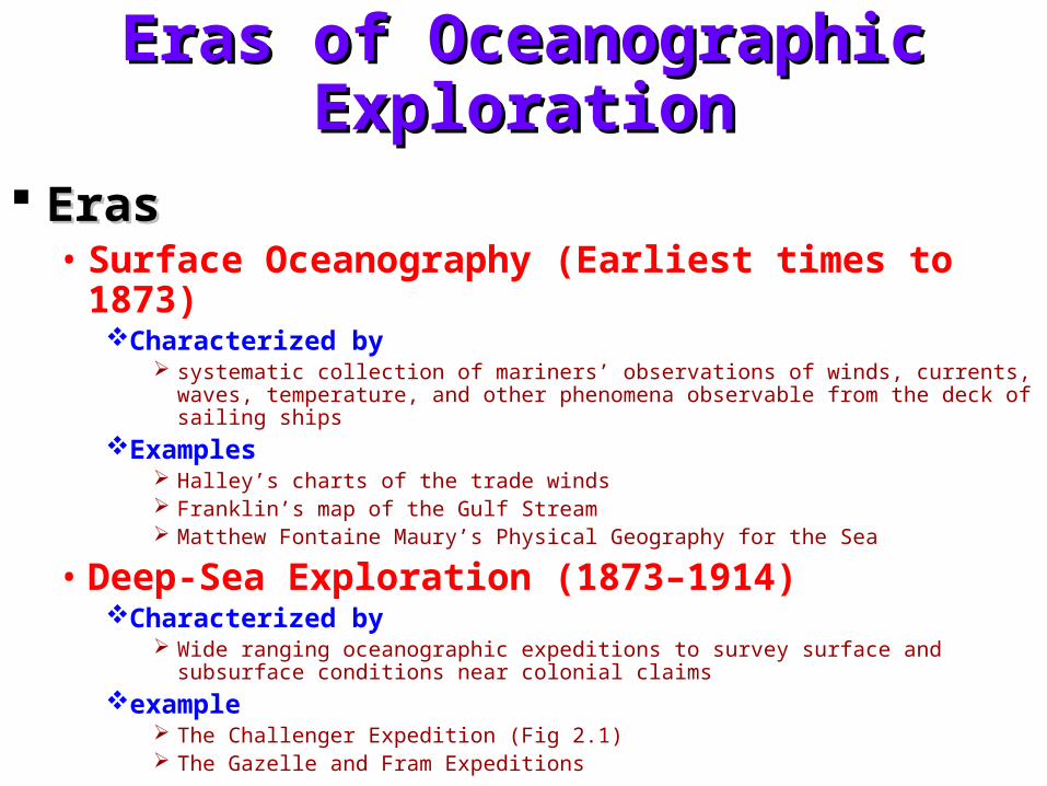
Eras of Oceanographic ExplorationEras of Oceanographic Exploration
ErasEras• Surface Oceanography (Earliest times to 1873)
Characterized by systematic collection of mariners’ observations of winds, currents, waves, temperature,
and other phenomena observable from the deck of sailing ships
Examples Halley’s charts of the trade winds Franklin’s map of the Gulf Stream Matthew Fontaine Maury’s Physical Geography for the Sea
• Deep-Sea Exploration (1873–1914)Characterized by
Wide ranging oceanographic expeditions to survey surface and subsurface conditions near colonial claims
example The Challenger Expedition (Fig 2.1) The Gazelle and Fram Expeditions
Eras of Oceanographic Exploration Eras of Oceanographic Exploration (cont.)(cont.)
Eras (cont.)Eras (cont.)• National Systematic & National Surveys (1925–1940)
Characterized by Detailed surveys of colonial areas
Examples Meteor surveys of Atlantic (Fig 2.2) The Discovery Expeditions
• Era of New Methods1947–1956Characterized by
long surveys using new instruments (Fig 2.3)
Examples include seismic surveys of the Atlantic by Vema leading to Heezen’s maps of the sea floor
Eras of Oceanographic Exploration Eras of Oceanographic Exploration (cont.)(cont.)
Eras (cont.)Eras (cont.)• International Cooperation (1957–1978)
Characterized by Multinational surveys of oceans and studies of oceanic processes
Examples The Atlantic Polar Front Program The norpac cruises The International Geophysical Year cruises The International Decade of Ocean Exploration (Fig 2.4) Multiship studies of oceanic processes include mode, polymode, norpax, and jasin
experiments.
• Satellites (1978–1995)Characterized by
global surveys of oceanic processes from space
Examples Seasat, noaa 6–10, nimbus–7, Geosat, Topex/Poseidon, and ers–1 & 2
Eras of Oceanographic Exploration Eras of Oceanographic Exploration (cont.)(cont.)
Eras (cont.)Eras (cont.)• Earth System Science (1995 – )
Characterized by global studies of the interaction of biological, chemical, and physical processes
in the ocean and atmosphere and on land using in situ and space data in numerical models
Examples World Ocean Circulation Experiment (woce) (Fig 2.5) Topex/ Poseidon (Fig 2.6) SeaWiFS Joint Global Ocean Flux Study (jgofs) Aqua and Terra
MilestonesMilestones
MilestonesMilestones• 1685 Edmond Halley
Investigating the oceanic wind systems and currents
• 1735 George HadleyTheory for the trade winds based on conservation of angular
momentum
• 1751 Henri EllisMade the first deep soundings of temperature in the tropicsFinding cold water below a warm surface layer, indicating the water
came from the polar regions
• 1769 Benjamin FranklinMade the first map of the Gulf Stream using information about ships
sailing between New England and England collected by his cousin Timothy Folger (Fig 2.7)
Milestones (cont.)Milestones (cont.)
Milestones (cont.)Milestones (cont.)• 1775 Laplace
Theory of tides
• 1800 Count RumfordMeridional circulation of the ocean with water sinking near the poles
and rising near the Equator
• 1847 Matthew Fontain Maury First chart of winds and currents based on ships logsMaury established the practice of international exchange of
environmental data, trading logbooks for maps and charts derived from the data
• 1872–1876 Challenger ExpeditionMarks the beginning of the systematic study of the biology, chemistry,
and physics of the oceans of the world
Milestones (cont.)Milestones (cont.)
Milestones (cont.)Milestones (cont.)• 1885 Pillsbury
Made direct measurements of the Florida Current using current meters deployed from a ship moored in the stream
• 1910–1913 Vilhelm BjerknesDynamic Meteorology and HydrographyLaid the foundation of geophysical fluid dynamicsHe developed the idea of fronts, the dynamic meter, geostrophic flow,
air-sea interaction, and cyclones
• 1912 Founding of the Marine Biological Laboratory of the University of
CaliforniaIt later became the Scripps Institution of Oceanography
Milestones (cont.)Milestones (cont.)
Milestones (cont.)Milestones (cont.)• 1930
Founding of the Woods Hole Oceanographic Institution
• 1942 Publication of The Oceans by Sverdrup, Johnson, and Fleming, the first
comprehensive survey of oceanographic knowledge.
• Post WW 2 Founding of oceanography departments at state universities, including
Oregon State, Texas A&M University, University of Miami, and University of Rhode Island, and the founding of national ocean laboratories such as the various Institutes of Oceanographic Science.
• 1947–1950Sverdrup, Stommel, and Munk publish their theories of the wind-
driven circulation of the ocean. Together the three papers lay the foundation for our understanding of the ocean’s circulation
Milestones (cont.)Milestones (cont.)
Milestones (cont.)Milestones (cont.)• 1949
Start of California Cooperative Fisheries Investigation of the California Current. The most complete study ever undertaken of a coastal current
• 1952 Cromwell and Montgomery Rediscover the Equatorial Undercurrent in the Pacific
• 1955 Bruce Hamon and Neil Brown Develop the CTD for measuring conductivity and temperature as a
function of depth in the ocean
• 1958 Stommel Publishes his theory for the deep circulation of the ocean
• 1963 Sippican CorporationInvents the Expendable Bathy Thermograph xbt now perhaps the most
widely used oceanographic instrument
Milestones (cont.)Milestones (cont.)
Milestones (cont.)Milestones (cont.)• 1969 Kirk Bryan and Michael Cox
Develop the first numerical model of the oceanic circulation.
• 1978 NASA launches the first oceanographic satellite, SeaSAT. The project
developed techniques used by generations of remotes sensing satellites
• 1979–1981 Terry Joyce et al. develop techniques leading to the acoustic-doppler current profiler for
measuring ocean-surface currents from moving ships, an instrument widely used in oceanography
• 1988 NASA Earth System Science CommitteeOutlines how all earth systems are interconnected, thus breaking down
the barriers separating traditional sciences of astrophysics, ecology, geology, meteorology, and oceanography. widely used in meteorology and oceanography
Milestones (cont.)Milestones (cont.)
Milestones (cont.)Milestones (cont.)• 1992 Russ Davis and Doug Webb
invent the autonomous, pop-up drifter that continuously measures currents at depths to 2 km.
• 1992 NASA and CNES develop and launch Topex/Poseidon, a satellite that maps
ocean surface currents, waves, and tides every ten days
• 1997 Wally Broecker proposes that changes in the deep circulation of the oceans
modulate the ice ages, and that the deep circulation in the Atlantic could collapse, plunging the northern hemisphere into a new ice age
Evolution of Some Theoretical IdeasEvolution of Some Theoretical Ideas
1919thth Century Century • Development of analytic hydrodynamics
Lamb’s Hydrodynamics is the pinnacle of this work. Bjerknes develops geostrophic method (meteorology and
oceanography)
1925–40 1925–40 • Development of theories for turbulence
based on aerodynamics and mixing-length ideasWork of Prandtl and von Karmen
1940–1970 1940–1970 • Refinement of theories for turbulence
based on statistical correlations and isotropic homogeneous turbulenceBooks by Batchelor (1967), Hinze (1975), and others
Evolution of Some Theoretical Ideas Evolution of Some Theoretical Ideas (cont.)(cont.)
1970– 1970– • Numerical investigations of turbulent
geophysical fluid dynamics based on high-speed digital computers
1985– 1985– • Mechanics of chaotic processes
The application to hydrodynamics is just beginning. Most motion in the atmosphere and ocean may be inherently unpredictable
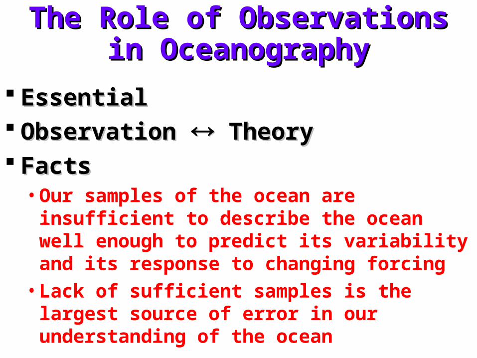
The Role of Observations in The Role of Observations in OceanographyOceanography
Essential Essential ObservationObservation TheoryTheory FactsFacts
• Our samples of the ocean are insufficient to describe the ocean well enough to predict its variability and its response to changing forcing
• Lack of sufficient samples is the largest source of error in our understanding of the ocean
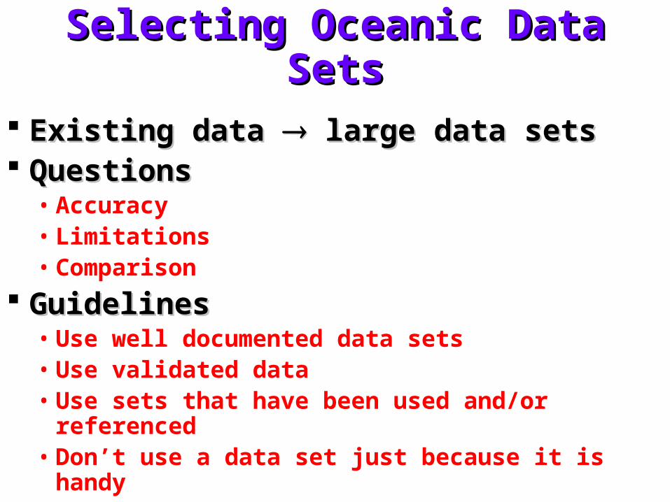
Selecting Oceanic Data SetsSelecting Oceanic Data Sets
Existing data Existing data large data sets large data sets QuestionsQuestions
• Accuracy• Limitations• Comparison
GuidelinesGuidelines• Use well documented data sets• Use validated data• Use sets that have been used and/or referenced• Don’t use a data set just because it is handy
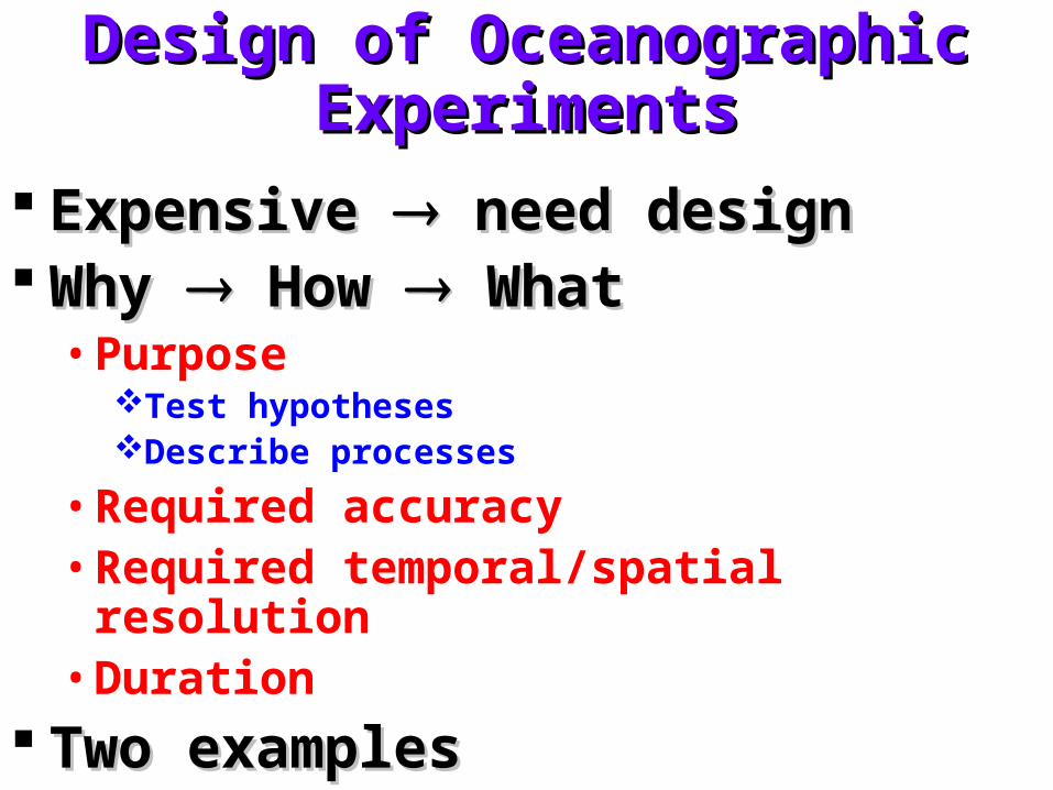
Design of Oceanographic Design of Oceanographic ExperimentsExperiments
Expensive Expensive need design need design Why Why How How What What
• PurposeTest hypothesesDescribe processes
• Required accuracy• Required temporal/spatial resolution• Duration
Two examplesTwo examples
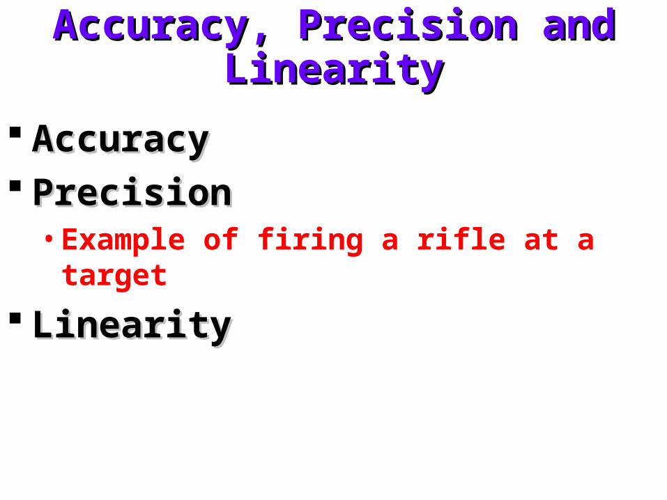
Accuracy, Precision and LinearityAccuracy, Precision and Linearity
AccuracyAccuracy PrecisionPrecision
• Example of firing a rifle at a target
LinearityLinearity
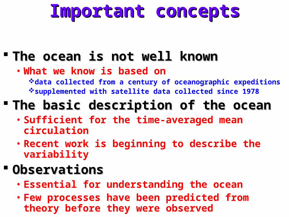
Important conceptsImportant concepts
The ocean is not well knownThe ocean is not well known• What we know is based on
data collected from a century of oceanographic expeditions supplemented with satellite data collected since 1978
The basic description of the oceanThe basic description of the ocean• Sufficient for the time-averaged mean circulation• Recent work is beginning to describe the variability
ObservationsObservations• Essential for understanding the ocean• Few processes have been predicted from theory
before they were observed
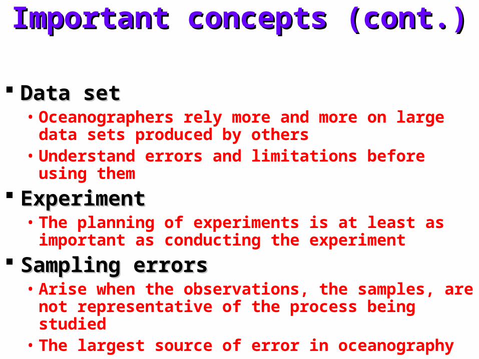
Important concepts (cont.)Important concepts (cont.)
Data setData set• Oceanographers rely more and more on large data
sets produced by others• Understand errors and limitations before using them
ExperimentExperiment• The planning of experiments is at least as important
as conducting the experiment
Sampling errors Sampling errors • Arise when the observations, the samples, are not
representative of the process being studied• The largest source of error in oceanography


![Data of Geology, Ecology, Oceanography, Space Science, Polar Science [Oceanography]geodata.kr/assets/pdf/6/journal-1-1-29.pdf · Data of Geology, Ecology, Oceanography, Space Science,](https://img.pdfslide.tips/doc/110x75/5f14033220f84807be344997/data-of-geology-ecology-oceanography-space-science-polar-science-oceanography.jpg)