Embed Size (px)
Citation preview
GPS Tracking: Inception, Mechanism and
Commercialization
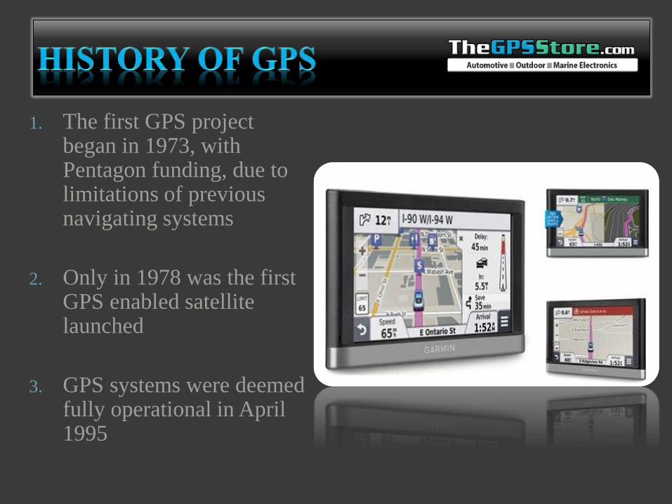
1. The first GPS project began in 1973, with Pentagon funding, due to limitations of previous navigating systems
2. Only in 1978 was the first GPS enabled satellite launched
3. GPS systems were deemed fully operational in April 1995
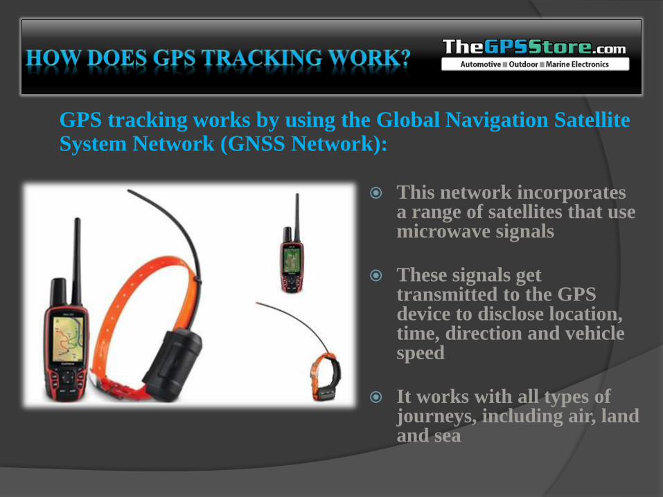
GPS tracking works by using the Global Navigation Satellite System Network (GNSS Network):
This network incorporates a range of satellites that use microwave signals
These signals get transmitted to the GPS device to disclose location, time, direction and vehicle speed
It works with all types of journeys, including air, land and sea
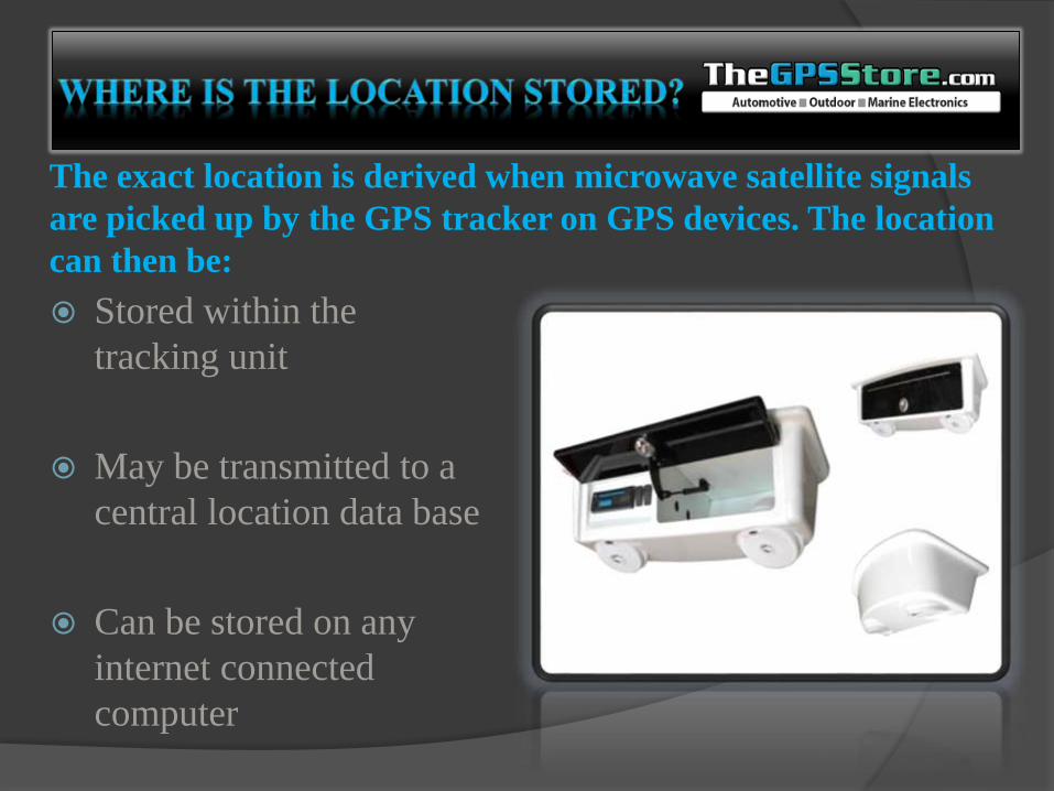
Stored within the
tracking unit
May be transmitted to a
central location data base
Can be stored on any
internet connected
computer
The exact location is derived when microwave satellite signals
are picked up by the GPS tracker on GPS devices. The location
can then be:
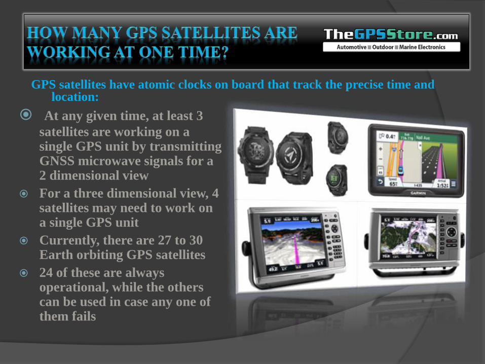
At any given time, at least 3
satellites are working on a single GPS unit by transmitting GNSS microwave signals for a 2 dimensional view
For a three dimensional view, 4 satellites may need to work on a single GPS unit
Currently, there are 27 to 30 Earth orbiting GPS satellites
24 of these are always operational, while the others can be used in case any one of them fails
GPS satellites have atomic clocks on board that track the precise time and location:
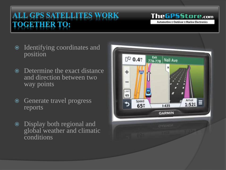
Identifying coordinates and position
Determine the exact distance and direction between two way points
Generate travel progress reports
Display both regional and global weather and climatic conditions
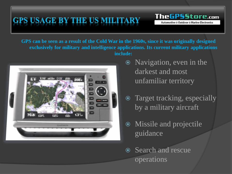
GPS can be seen as a result of the Cold War in the 1960s, since it was originally designed
exclusively for military and intelligence applications. Its current military applications
include:
Navigation, even in the
darkest and most
unfamiliar territory
Target tracking, especially
by a military aircraft
Missile and projectile
guidance
Search and rescue
operations
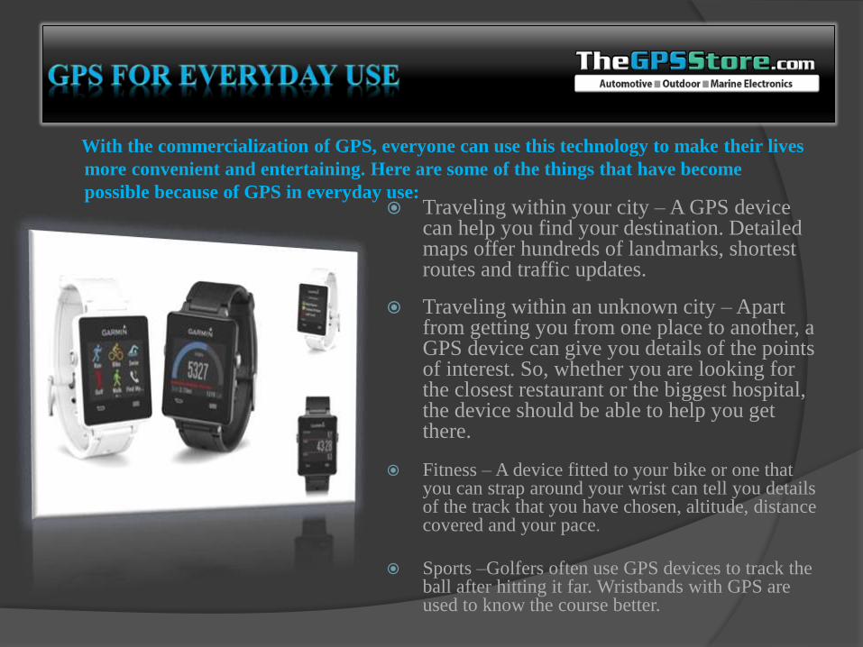
With the commercialization of GPS, everyone can use this technology to make their lives
more convenient and entertaining. Here are some of the things that have become
possible because of GPS in everyday use: Traveling within your city – A GPS device
can help you find your destination. Detailed maps offer hundreds of landmarks, shortest routes and traffic updates.
Traveling within an unknown city –Apart from getting you from one place to another, a GPS device can give you details of the points of interest. So, whether you are looking for the closest restaurant or the biggest hospital, the device should be able to help you get there.
Fitness – A device fitted to your bike or one that you can strap around your wrist can tell you details of the track that you have chosen, altitude, distance covered and your pace.
Sports –Golfers often use GPS devices to track the ball after hitting it far. Wristbands with GPS are used to know the course better.
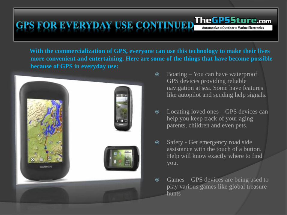
With the commercialization of GPS, everyone can use this technology to make their lives
more convenient and entertaining. Here are some of the things that have become possible
because of GPS in everyday use:
Boating – You can have waterproof GPS devices providing reliable navigation at sea. Some have features like autopilot and sending help signals.
Locating loved ones – GPS devices can help you keep track of your aging parents, children and even pets.
Safety - Get emergency road side assistance with the touch of a button. Help will know exactly where to find you.
Games – GPS devices are being used to play various games like global treasure hunts
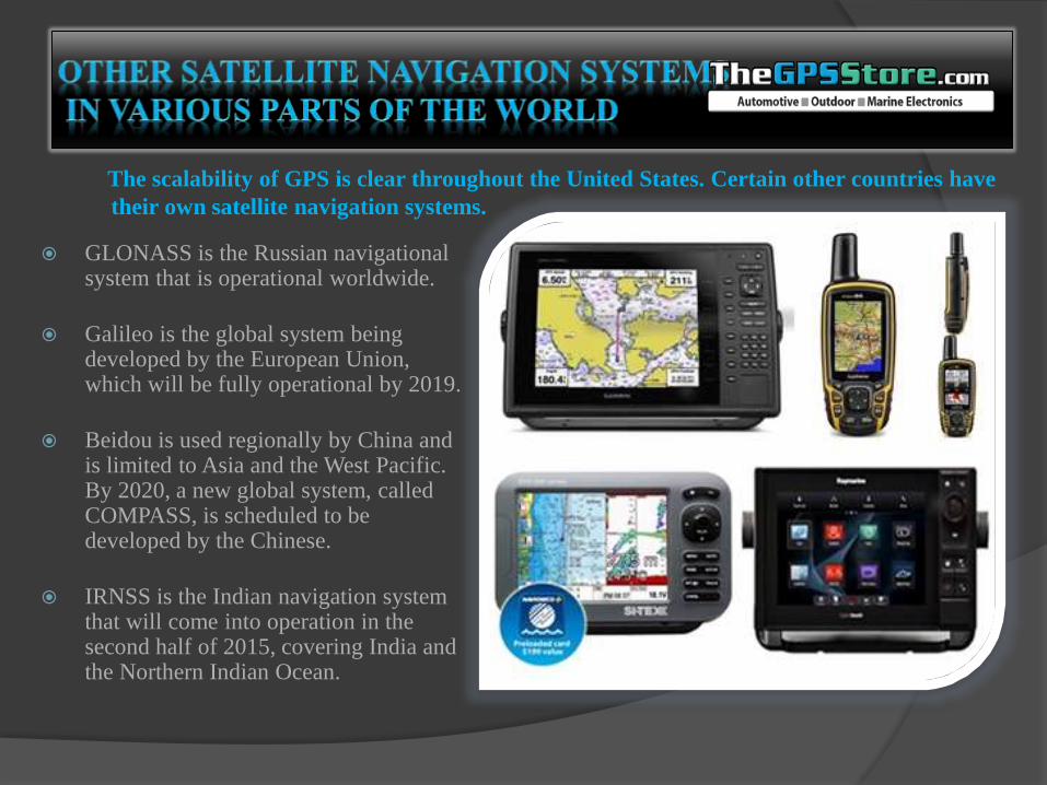
The scalability of GPS is clear throughout the United States. Certain other countries have
their own satellite navigation systems.
GLONASS is the Russian navigational system that is operational worldwide.
Galileo is the global system being developed by the European Union, which will be fully operational by 2019.
Beidou is used regionally by China and is limited to Asia and the West Pacific. By 2020, a new global system, called COMPASS, is scheduled to be developed by the Chinese.
IRNSS is the Indian navigation system that will come into operation in the second half of 2015, covering India and the Northern Indian Ocean.
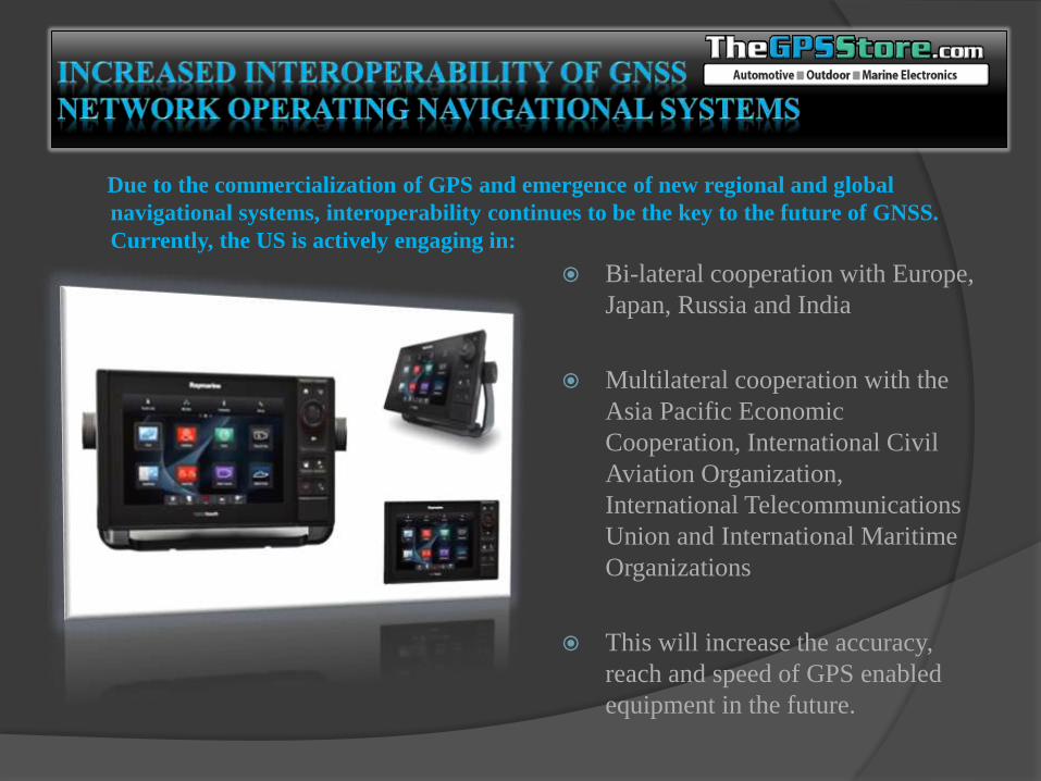
Due to the commercialization of GPS and emergence of new regional and global
navigational systems, interoperability continues to be the key to the future of GNSS.
Currently, the US is actively engaging in:
Bi-lateral cooperation with Europe,
Japan, Russia and India
Multilateral cooperation with the
Asia Pacific Economic
Cooperation, International Civil
Aviation Organization,
International Telecommunications
Union and International Maritime
Organizations
This will increase the accuracy,
reach and speed of GPS enabled
equipment in the future.


![[PR12] Inception and Xception - Jaejun Yoo](https://img.pdfslide.tips/doc/110x75/5a650ce27f8b9aa2548b64d5/pr12-inception-and-xception-jaejun-yoo.jpg)
