Embed Size (px)
Citation preview

21-05-2013
1
Professor Gethin Wyn Roberts
Chairman Commission 6Dean of Science and Engineering
The University of Nottingham Ningbo, China
格辛•温•罗伯茨 教授
理工学院院长
Commission 6
Engineering SurveyingDr. Ivo Milev Berlin Chair elect
Terms of Reference
• Deformation monitoring, analysis and interpretation, measurement of dynamic loaded structures,measurement timeseries procesing
• Acquisition, processing and management of topometric data and all related information throughout the life cycle of a project
• Automatic measuring systems for the construction and industry, static and kinematic multi-sensor measuring systems for the transportation infrastructure
• Terrestrial laser systems, their usage in architecture, civil engineering and industry, MLS

21-05-2013
2
Mission Statement
• Implementation of innovative technologies and modernization of the engineering surveys processes of data acquisition, processing, interpretation and quality control but also the epoch by epoch data management and analysis of the engineering object condition changes as important part of the maintenance and emergency situation alert.
• Vice Chairs for Administration
• Dr Craig Hancock, The University of Nottingham, UK
• Dr Lawrence Lau, The University of Nottingham Ningbo China

21-05-2013
3
• WG6.1 Deformation Monitoring and Analysis (Prof W. Niemeier)
• WG6.2 Engineering Surveys for Construction Works and Structural Engineering (Joel Van Cranenbroeck)
• Study Group 6.2.2 Laser Scanners (Joint with Commission 5, Commission 6 has lead)
• Study group 6.2.5 Railway Surveying Techniques
• WG6.3 Machine Control and Guidance (H VadJensen)
• WG6.4/5.5 Ubiquitous Positioning Systems (Dr A Kealy, Dr G Rechster)
Introduction
Application Groups - focus engineering surveying
• Linear Objects• Roads• Railways• Pipelines• Power lines• Harbor and river engineering objects scanned from the
water side
• Construction work - buildings• Industry
• Cultural heritage• Mining
Other

21-05-2013
4
Image by Joel van Cranenbroeck
Monitoring and Deformation analysis
21-05-2013
5
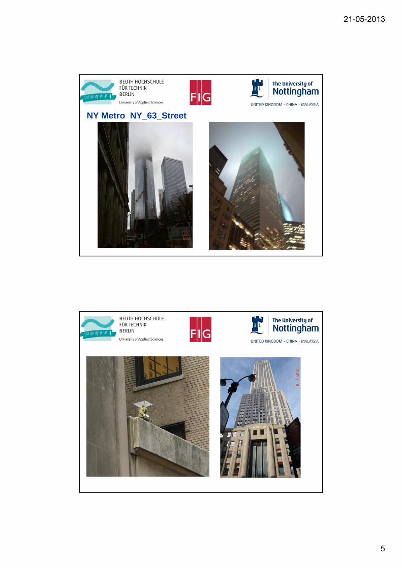
NY Metro NY_63_Street

21-05-2013
6

21-05-2013
7

21-05-2013
8
Network adjustment

21-05-2013
9
Laser scanner based monitoring

21-05-2013
10
Scanning Complex
as - built documentation

21-05-2013
11
Limit check and Clearance
Clearance

21-05-2013
12
Lynx Mobile Mapper system MLS
• High end
Kinematic system
• Roads
Application for the data syncronization - road

21-05-2013
13
Clereance
Inconsistencies in the roadway deck

21-05-2013
14
As build measured and colored against CAD
Linear Objects - Infrastructure
Parameter calculation

21-05-2013
15
Linear Objects Infrastructure
Parameter calculation
Linear Objects Infrastructure
Parameter calculation

21-05-2013
16
Linear Objects Infrastructure
Parameter calculation
Slopes of the pipes
• Events
• Nov 2011 – WG6.1, Hong Kong
• 2011 Marrakech, Ulaanbaatar, Novosibirsk, Kazakhstan
• 2012 Novosibirsk
• Nov 2012, Kazakhstan, Uruguay
• Nov 2012, WG6.2 Hong Kong
• June 2013 Philippines
• 2013 Nigeria
• July 2013 Ningbo China with Young Surveyors
• 2013 6.1 Deformation Monitoring, UK
21-05-2013
17
• Rome 2012TS01F - Dam and Reservoir Engineering Surveying
TS01L - Mining and Underground Engineering Surveying ITS02F - Engineering Surveying – PhotogrammetryTS03F - Deformation Monitoring ITS04F - Deformation Monitoring IITS05J - Mining and Underground Engineering Surveying IITS06G - Engineering Surveying, Machine Control and GuidanceTS07A - Laser Scanners ITS07M - Remote Sensing Applications and Case StudiesTS08C - Laser Scanners IITS09D - Laser Scanners IIITS09I - Engineering SurveyingTS05H - Remote Sensing ITS06I - Remote Sensing IITS08B - The Impact of Earthquakes and Geodynamics on Geodetic Reference Frames
• Contact